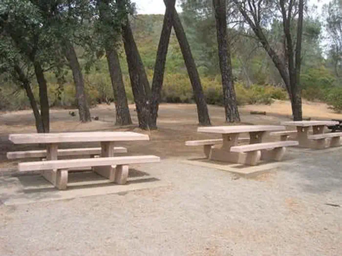
Pines Group Site - Stony Gorge Reservoir
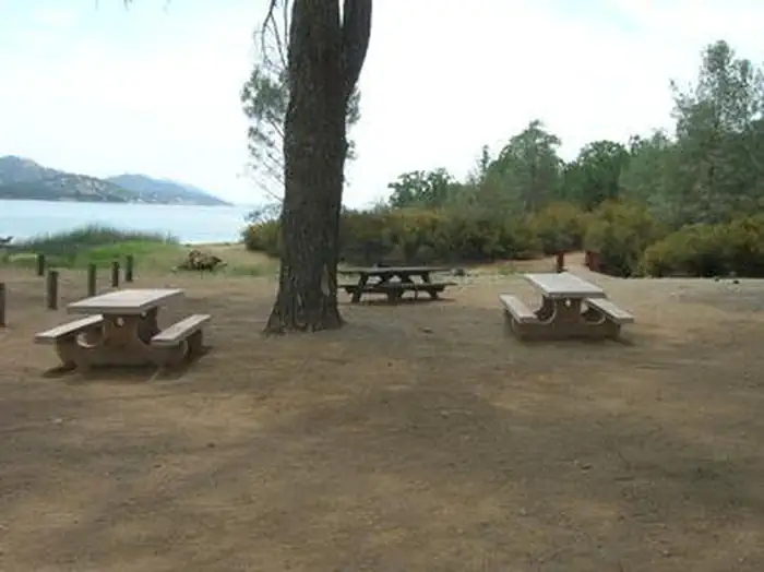
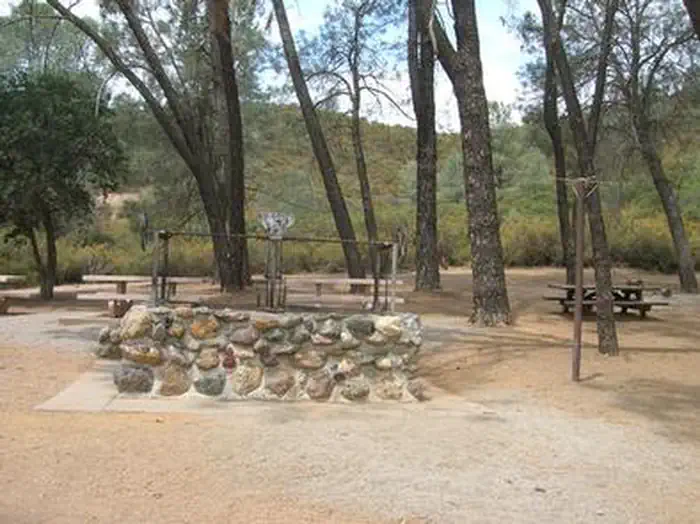
Pines Group Site - Stony Gorge Reservoir
About this campsite
Overview
Pines Group Site is conveniently located at the Stony Gorge Dam, just 18 miles downstream from East Park Dam and 5 miles west of Fruto in western Glenn county. Stony Gorge Dam, Orland Project, was completed in 1928 and is a concrete slab and buttress structure with a height of 139 feet and a crest length of 868 feet. The group campsite area is complete with views of the Stony Gorge Reservoir and the scenic hills beyond. There's plenty of open space to throw a ball around, stroll, and explore the area's wildflowers. Plus the warm-water fishery with an 18-mile shoreline is huge draw for avid fishermen.
Recreation
All water sports are highly recommended at this campground. The area boasts excellent boating and shoreline accessibility. One boat ramp useable most of the summer, is dependent on water levels. Available bass species include largemouth and smallmouth bass of Texan strain that grow faster and mature earlier (10 to 12 pounds) and a thriving bluegill and crappie population (2 to 3 pounds). Catfishing is good year-round (up to 20 pounds). Swimming in the warm, refreshing waters is also popular.Facilities
A boat launch is located 1 mile from the campsite, and the group area is ideal for swimming. Picnic tables are dispersed so that some are shaded by trees, while others capture the warm sun. The camping area has a stone fire pit and a large brick barbecue.Natural Features
Pines Group Site is set on the northwest tip of the reservoir along 18 miles of lake shoreline. The area is part of the foothills beside the Mendocino National Forest, which straddles the Coastal Mountain Range.Contact Info
For facility specific information, please call (530) 685-8618.Nearby Attractions
Hike the Red Mountain Trail for 360-degree views of Black Butte Lake, Lassen Peak, and Mount Shasta. Don't miss out on a scenic drive through the Mendocino Forest either.Location
PINES GROUP SITE - STONY GORGE RESERVOIR•CA
Common questions about PINES GROUP SITE - STONY GORGE RESERVOIR
Can you book PINES GROUP SITE - STONY GORGE RESERVOIR online?
We hold no online booking link for PINES GROUP SITE - STONY GORGE RESERVOIR, so it is not bookable through this page. Many parks and showgrounds still require a booking, so contact the operator before you go. Their website or phone number is the fastest way to confirm a site.
Where is PINES GROUP SITE - STONY GORGE RESERVOIR?
PINES GROUP SITE - STONY GORGE RESERVOIR sits in CA. The map on this page shows the exact spot, and the coordinates travel straight into your navigation app. Check road conditions before you set out if you are towing, since access tracks can change with the weather.
Nearby Campsites
 24.5 km away
CA
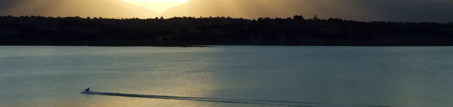
Brownell Camp
Campground: Brownell Camp.
 24.9 km away
CA
ORLAND BUTTES
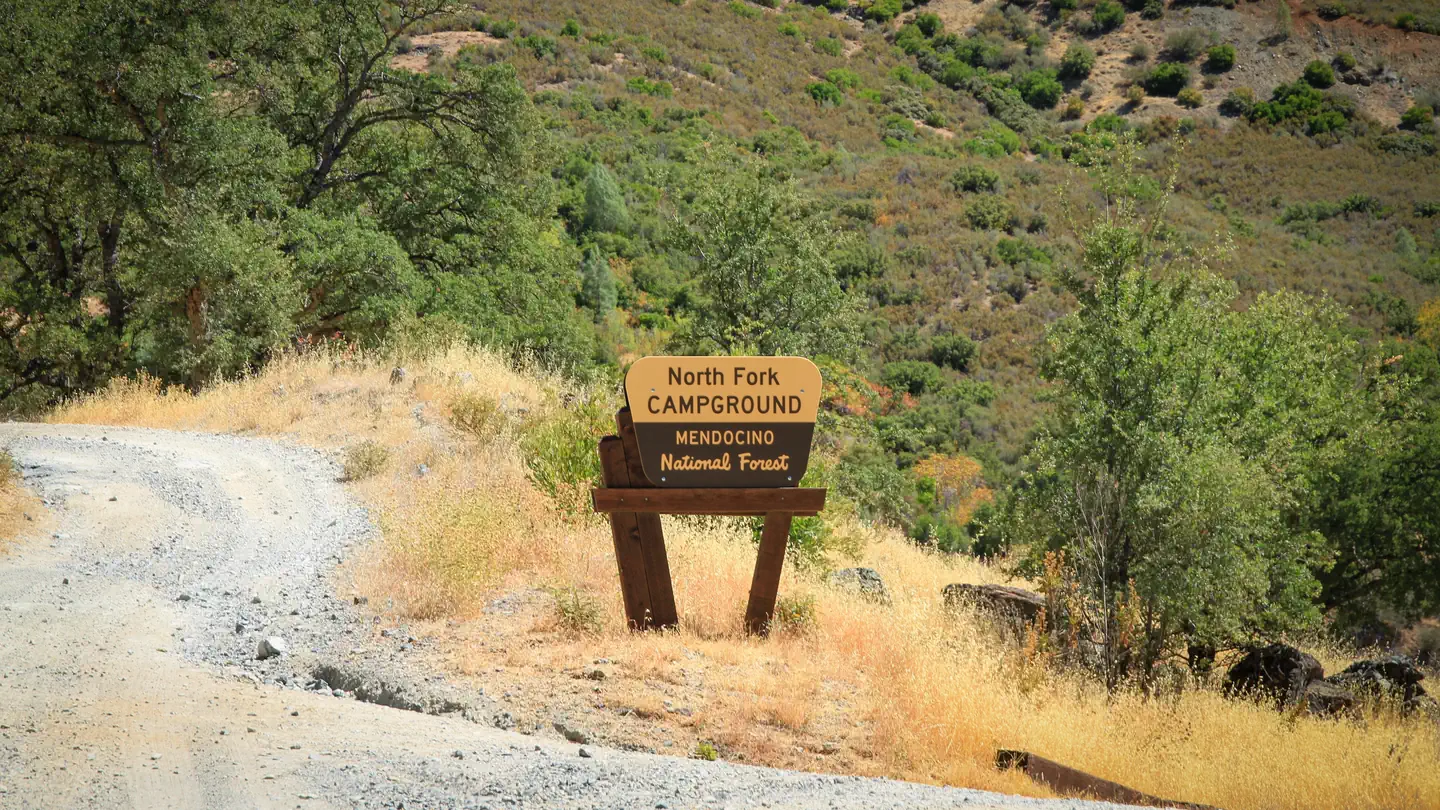
Overview Orland Buttes Recreation Area is at Black Butte Lake, situated at the northern end of the Sacramento valley, 100 miles north of Sacramento, CA and 30 miles south of Red Bluff, CA. The lake is a popular meeting place for water sports and outdoor euthusiasts, so bring family and friends for an incredibly scenic getaway. Recreation Find excitement with wake boarding and sailing or explore the Paul Thomas trail for hiking. Black Butte is renowed fro its warm-water fishing, including catches such as crappie, channel catfinsh, and large and small mouth bass. Disc golf is also a popular activity here. Facilities The family-friendly campground offers 35 campsites and a group campground that fits 50. Conveniences include showers, a boat ramp complex, and a 18-hole disc golf course. No electric hookups or water hookups are available. The area is open seasonaly from 1 April through the second Monday in September. Natural Features Black Butte Lake was formed in 1963 with the completion of Black Butte Lake Dam on Stony Creek. The lake's surface area measures 4460 acres when water levels are high. Black basalt buttes and blue oak woodland hug the lake's 40 miles of shoreline. Nearby Attractions Horeseback riders can make use of the horse trails at Grizzly Flat and Burris Creek. Buckhorn Recreation Area has 13 miles of fitness trails for hiking, running, and biking.
 26.0 km away
CA
North Fork - Mendocino National Forest
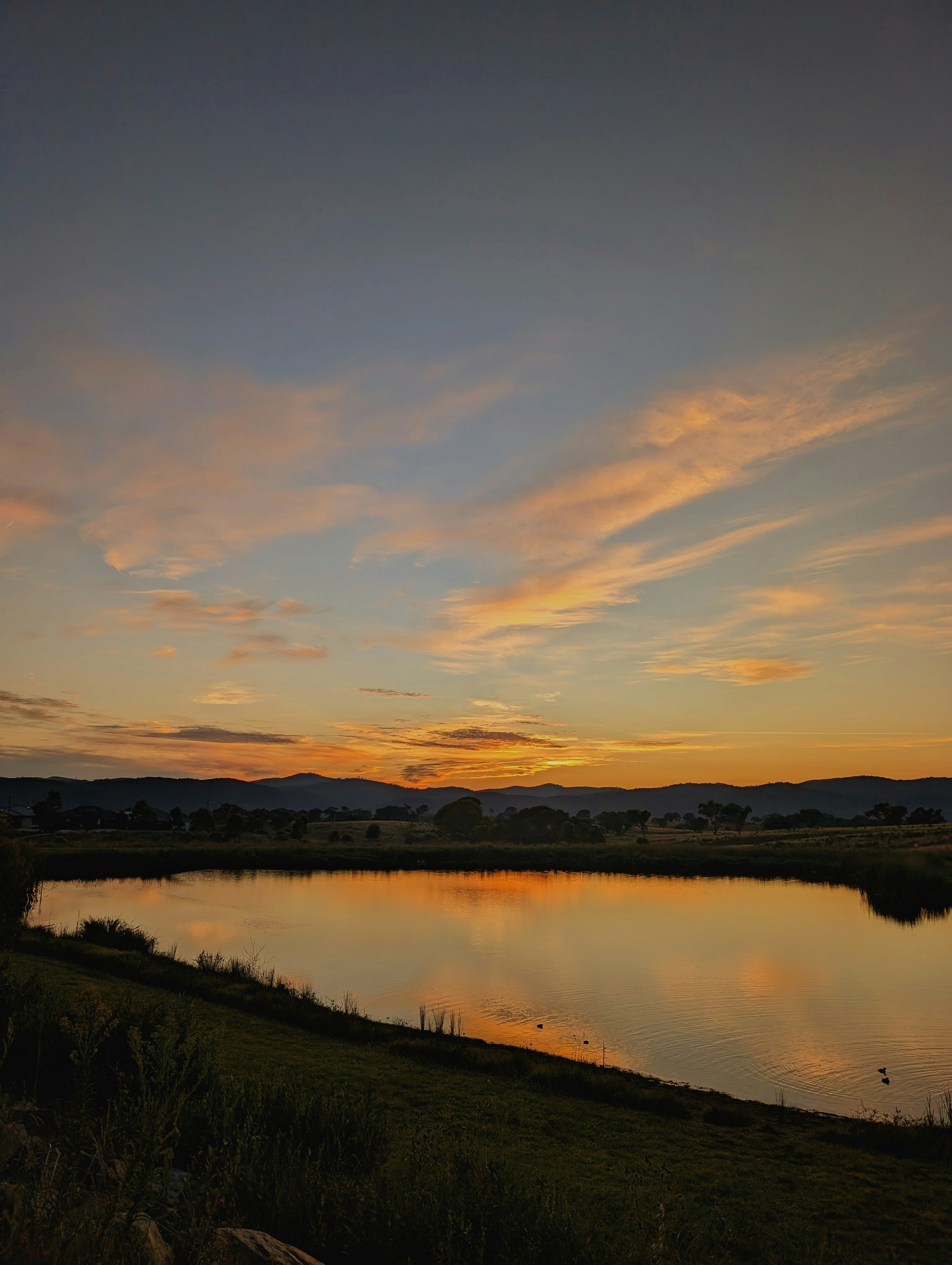
Overview This location is available on a first-come, first-served basis only. Visitors are required to physically arrive at the campground to purchase and claim a site. Once on-site, you are able to pay for your campsite(s) by scanning a QR code using the Recreation.gov mobile app, and the Scan and Pay feature. In order to utilize Scan & Pay on site, you will need to first download the free Recreation.gov mobile app https://www.recreation.gov/mobile-app prior to your arrival as some remote areas have limited or no cellular service. Recreation River and stream fishing is popular in the winter and early spring when the stream is in full flow. The Forest Service in cooperation with the State of California Off-Highway Vehicle Fund, (Green Sticker), has developed roads, trails, and facilities for further enjoyment of the OHV user. Remember, these are your facilities and OHV funds are being used to develop and maintain them. Forest Service roads open to Off-Highway Vehicles are considered public roads. All motorcycle riders on public lands in the State of California must wear a safety helmet meeting the standards adopted by the US Department of Transportation. State law requires all vehicles, including motorcycles to be registered. You must have a current Green or Red Sticker, or Highway License. Highway licensed vehicles must meet all standards for operating on a public highway and be operated in accordance with California state law. Your vehicle must be equipped with a properly installed Forest Service approved spark arrester in good working condition. For your safety and the safety of others, Off-Highway Vehicles must never be operated in a manner likely to endanger any person or property. Driving at excessive speeds, careless and reckless driving, racing and "wheelies" are not only prohibited, but also dangerous on forest roads and camping areas. State and Federal law prohibit operating any vehicle while under the influence of alcohol or drugs. This applies equally to the operation on Off-Highway vehicles, including those statutes prohibiting drinking while driving (CVC 23220), and drinking in a motor vehicle (CVC 23221). Motorcycles and ATVs must meet state sound requirement of 96 dba or lower. Unlicensed juveniles operating motorcycles and ATVs must be under the supervision of a licensed adult. The Stonyford Work Center (530) 963-3128 is available to provide Trail Conditions and closure information for the Grindstone District area. Stonyford Area Motor Vehicle Opportunity Guide Facilities The campground has 10 tables, 10 stoves, 1 toilet. Accomodates up to 30 foot trailers. Natural Features Vegetation in the area is an open grove of oak trees adjacent to a year long stream. Contact Info For facility specific information, please call (530) 963-3128.
 26.0 km away
CA
North Fork Campground
The camp is located in an open grove of oak trees adjacent to a year long stream.
 27.1 km away
CA
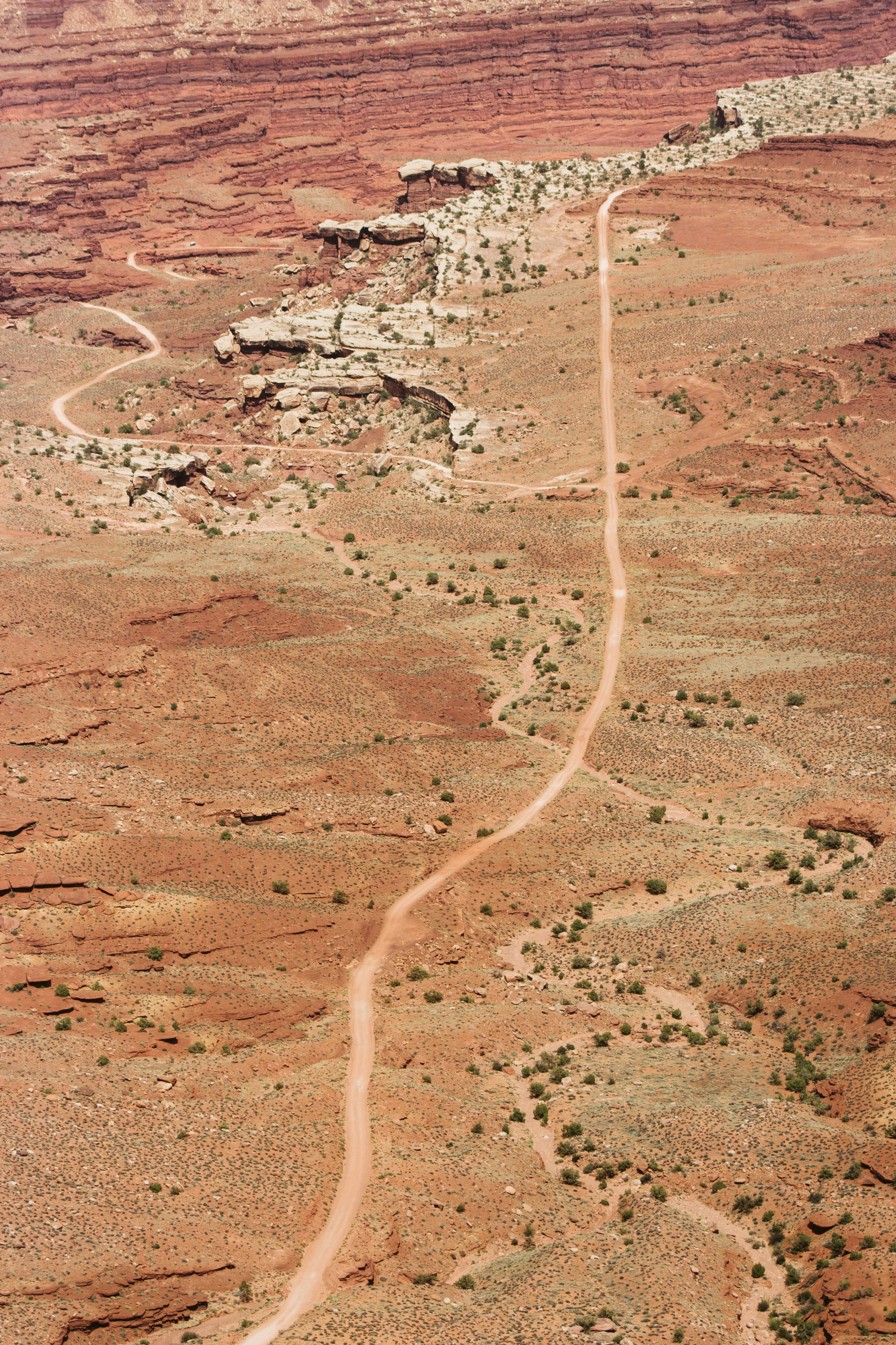
Hide Out
Campground: Hide Out.
 Britz HiTopCampervan
 Maui UltimaCampervan
 Jucy CoasterCampervan
Hitting the road? Rent the rig, not just the gear.
Compare live prices across Britz, Maui, Apollo, Jucy & more — campervans and motorhomes, one-way hires included.
Compare & bookPlan your visit
Save it, check the weather, map your route
Nearby Fuel
Campsite Explorer
Find Your Next Campsite
Share Your Experience
Help fellow campers by sharing your photos and reviews.
Own This Campsite?
Claim your listing to manage information, respond to reviews, and update details.