Highway 7 Recreation Area
Highway 7 Recreation Area
About this campsite
Overview
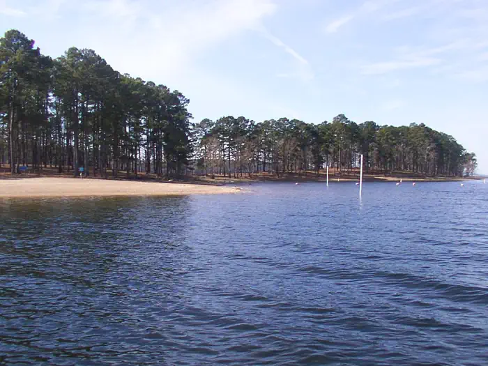
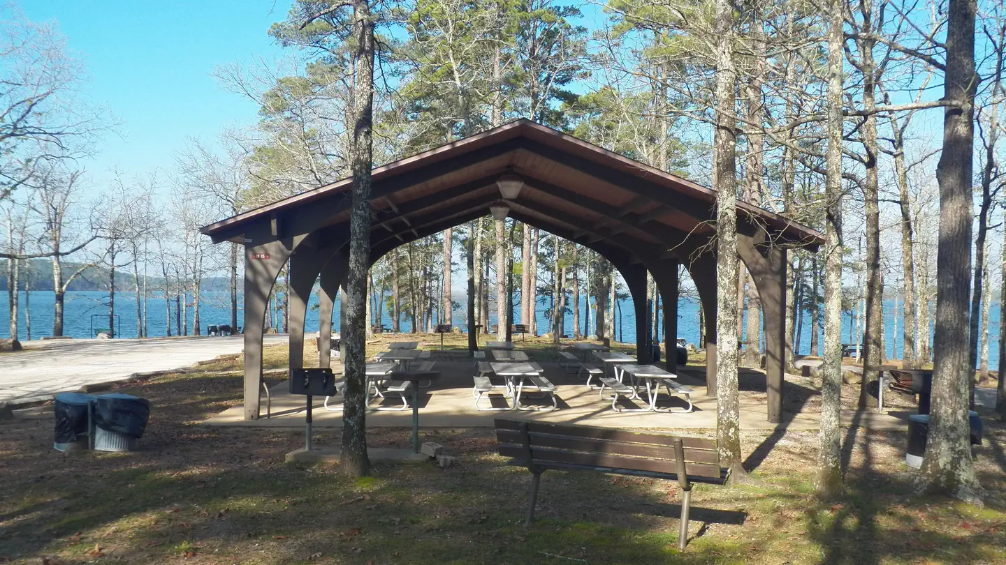
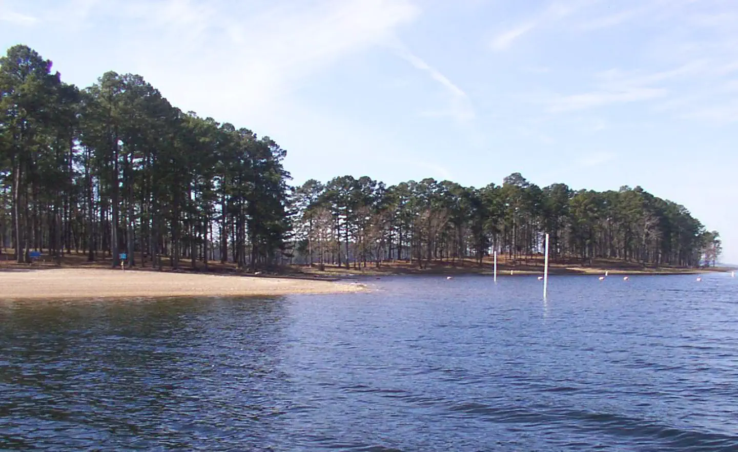
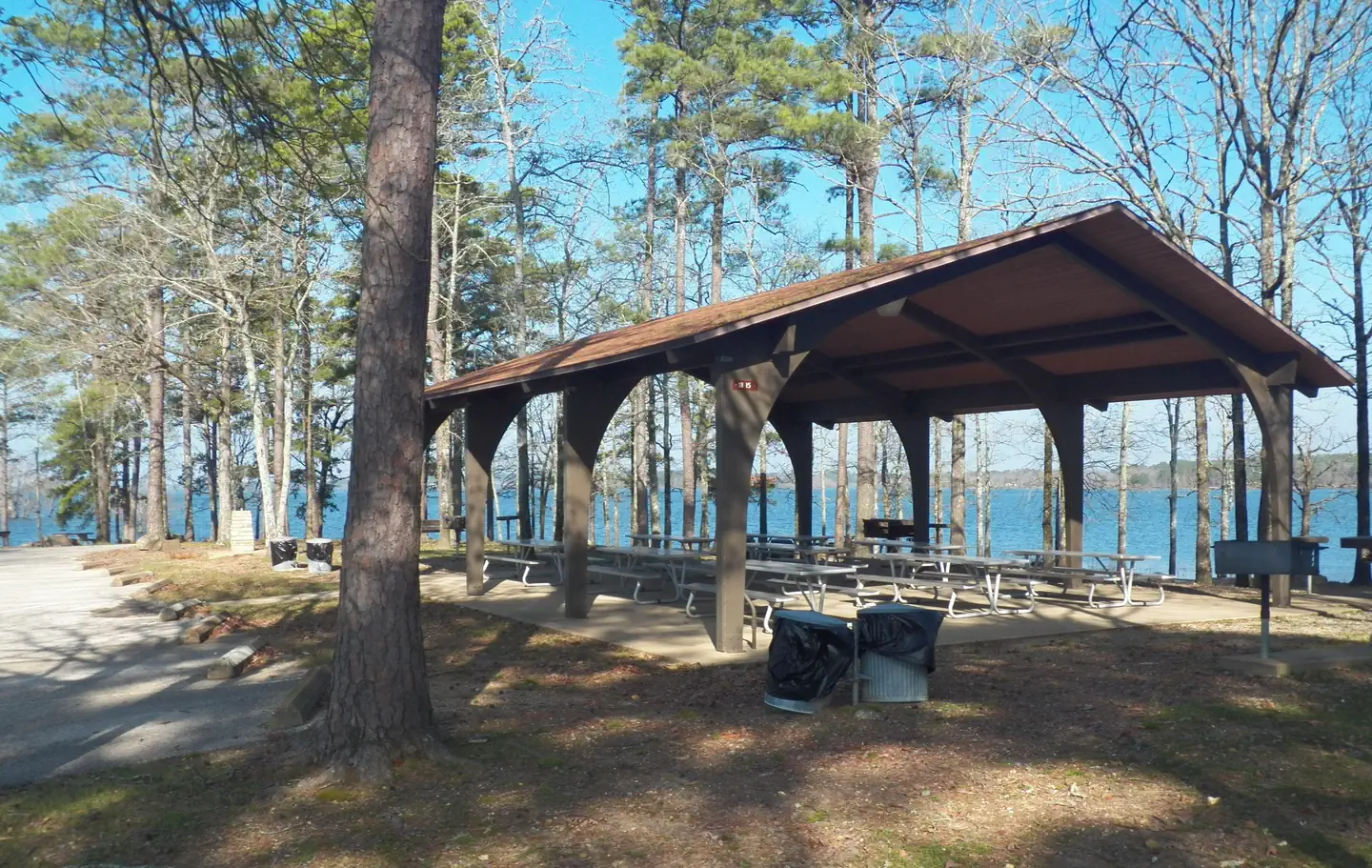
Highway 7 is a small, popular scenic area adjacent to State Highway 7. A narrow wooded land spur provides the facilities and ennvironment picnickers enjoy throughout the warm and mild season. A group shelter is located inside the loop turn-around at the extreme west end of the area. The open and gradually sloping land near State Highway 7 provides two beach areas where visitors find relief from high summer temperatures.
Recreation
DeGray Lake hosts thousands of professional fishing tournaments, triathlons and it is one of the most popular swimming destinations in the region. The area is also ideal for boating and jet skiing.
Facilities
Hwy 7 Recreation Area is a day use area that features two swim beaches, playground, two restrooms, numerous picnic areas, and a reservation group use pavilion.
To see USACE DeGray Lake Virtual Tour,click here
Natural Features
The pavilion is located at the end of a tree-covered peninsula. Highway 7 Recreation Area is known for the many black squirrels that call it home. Degray Lake encompasses 13,500 water acres, with 207 miles of shoreline and an average depth of 47 feet.
Nearby Attractions
The DeGray Lake State Resort Park lies on the northern shores of the lake, and kayaking tours, golf, tennis courts and a horseback riding trail are available.
Location
Highway 7 Recreation Area•AR
Weather Forecast
via Open-MeteoNearby Campsites
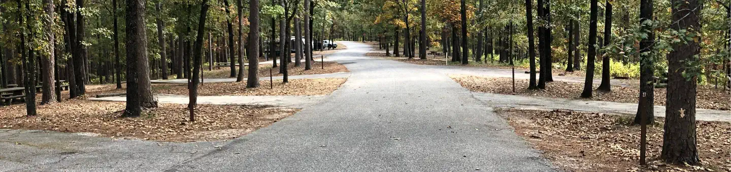 2.0 km away
AR
IRON MOUNTAIN
Overview Iron Mountain Campground sits on the southern banks of DeGray Lake in the foothills of the Quachita Mountains. Recreation Boating, water skiing, kayaking and other water sports are the biggest draw to the lake, and a boat ramp and full service marina are provided. The lake is also stocked with a variety of game fish, including plenty of hybrid striped bass, making it an ideal area for both boat and bank fishing. Numerous hiking and horseback riding trails wind around the lake shore. Facilities Iron Mountain offers 69 RV and standard reservable campsites with electrical hookups. Other amenities include flush toilets, heated showers, a boat ramp, playground and full service marina. To see USACE DeGray Lake Virtual Tour, click here. Natural Features Degray Lake is one of the region's five Diamond Lakes, known for their crystal clear waters. The lake flows from the Caddo River in western Arkansas and spans 13,500 surface acres. Nearby Attractions The DeGray Lake Resort State Park offers golf courses, tennis courts, horseback riding trails and more along the 207 miles of lake shoreline. The Ouachita National Forest and Hot Springs National Park are both located nearby.
 6.7 km away
AR
Lower Lake Recreation Area
Overview Lower Lake is an area developed for visitors of the regulating dam. Fishing in the continuous outflow of the dam is a popular pastime. Other visitors fish the 400-acre pool above the dam or float and fish the river below the dam. Individual covered picnic tables plus one group shelter with a large cooking grill are available for use. The openness of the area lends itself to volleyball, softball, 18-hole disc golf course, and a fitness course. Recreation Hiking, fishing, canoeing, kayaking, disc golf, and picnicing are popular activities in the area. Facilities Lower Lake Recreation Area has a group use shelter available for renting. It is located beside the Caddo River and has a maximum seating capacity of 50 people. A playground, a sand volleyball court and an open playing field are adjacent to the shelter. A restroom is within walking distance of the shelter. There is a boat ramp in the park to access the river. The scenic Lower Lake Disc Golf Course is located in Lower Lake Recreation Area. Opening in late 2011, the course has become one of the most popular in the area. The Voss Fitness Trail is a 1 mile gravel trail with four fitness stops featuring a total of 19 workout stations. DeGray Lake Sunset Trail is a 1.7 mile moderately trafficked loop trail located at the Lower Lake that features lakeside views and is great for all skill levels. The trail offers a number of activity options and is accessible year-round. Dogs are also able to use this trail but must be kept on leash. The ADA-accessible trail meanders along a level paved surface, ideal for an easy afternoon walk. To see USACE DeGray Lake Virtual Tour, click here Natural Features Degray Lake is one of the region's five Diamond Lakes, known for their crystal clear waters. The lake flows from the Caddo River in western Arkansas and spans 13,500 surface acres. The first settlers around the lake were the Caddo Indians, whose remains have been traced back to 700 A.D. The early inhabitants were skilled in agriculture, and grew crops like beans, squash, maize and sunflowers. Nearby Attractions The DeGray Lake Resort State Park offers golf courses, tennis courts, horseback riding trails and more along the 207 miles of lake shoreline. The Ouachita National Forest and Hot Springs National Park are both located nearby.
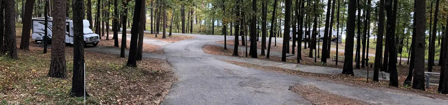 7.3 km away
AR
EDGEWOOD
Overview Edgewood Campground sits on the banks of DeGray Lake in the foothills of the Quachita Mountains. Jet skiing, wake boarding and swimming are among the family-friendly activities here. The lake area is rich with wildlife spotting and birding. Hawks, woodpeckers, blue birds and wood ducks are among the the lake's residents. Recreation Boating, water skiing, kayaking and other water sports are the biggest draw to the lake, and a sandy swimming beach is provided. The lake is also stocked with a variety of game fish, including plenty of hybrid striped bass, making it an ideal area for both boat and bank fishing. Facilities The campground provides 49 reservable campsites with electric hookups. Other amenities include flush toilets, heated showers, drinking water, swimming beach, playground and dump station. To see USACE DeGray Lake Virtual Tour, click here. Natural Features Degray Lake is one of the region's five Diamond Lakes, known for their crystal clear waters. The lake flows from the Caddo River in western Arkansas and spans 13,500 surface acres. Nearby Attractions The DeGray Lake Resort State Park offers golf courses, tennis courts, horseback riding trails and more along the 207 miles of lake shoreline. The Ouachita National Forest and Hot Springs National Park are both located nearby.
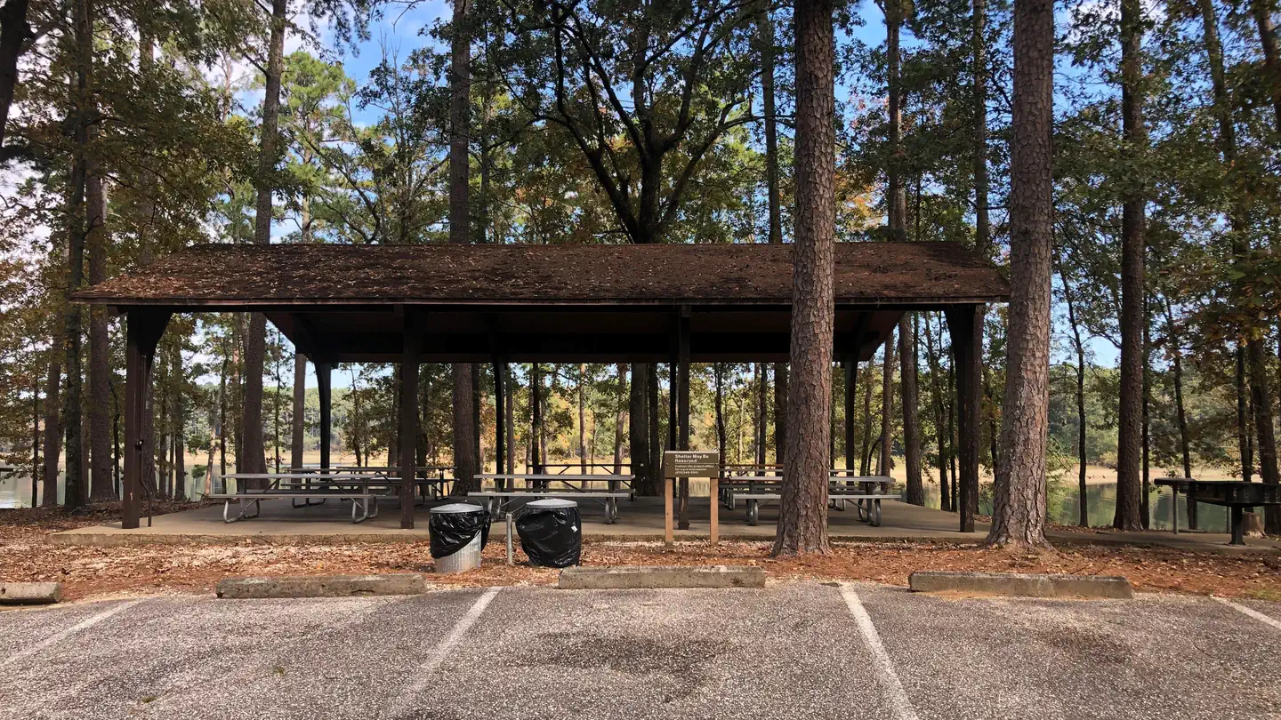 7.6 km away
AR
Caddo Drive Day Use
Overview Caddo Drive Campground and Day Use area sits along the pristine shores of Degray Lake in the foothills of the Quachita Mountains. The area offers stunning scenery and panoramic views, and Caddo was awarded one of Americas Top 25 Scenic Views. Recreation DeGray Lake hosts thousands of professional fishing tournaments, triathlons and it is one of the most popular swimming destinations in the region. The area is also ideal for boating and jet skiing. Facilities Caddo Drive offers a mix of RV, standard and tent-only campsites, each with electric hookups. Other amenities include flush toilets, heated showers, a boat ramp, swimming beach, and a reservable group use shelter. To see USACE DeGray Lake Virtual Tour, click here Natural Features The pavilion is situated on a tree-covered ridge that joins a bluff. Degray Lake encompasses 13,500 water acres, with 207 miles of shoreline and an average depth of 47 feet. Nearby Attractions The DeGray Lake State Resort Park lies on the northern shores of the lake, and kayaking tours, golf, tennis courts and a horseback riding trail are available.
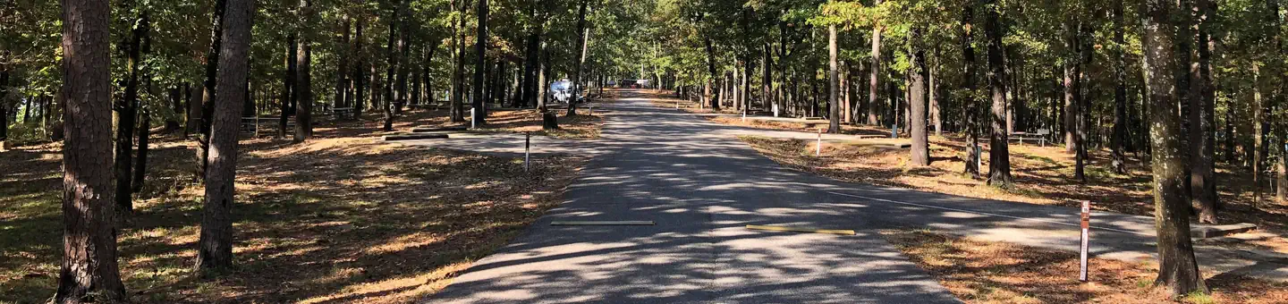 7.7 km away
AR
CADDO DRIVE
Overview Caddo Drive Campground sits along the pristine shores of Degray Lake in the foothills of the Quachita Mountains. The area offers stunning scenery and panoramic views, and Caddo was awarded one of Americas Top 25 Scenic Views. Recreation DeGray Lake hosts thousands of professional fishing tournaments, triathlons and it is one of the most popular swimming destinations in the region. The area is also ideal for boating and jet skiing. Facilities Caddo Drive offers a mix of RV, standard and tent-only campsites, each with electric hookups. Other amenities include flush toilets, heated showers, a boat ramp and swimming beach. To see USACE DeGray Lake Virtual Tour, click here. Natural Features The campground is situated on a tree-covered ridge that joins a bluff. Degray Lake encompasses 13,500 water acres, with 207 miles of shoreline and an average depth of 47 feet. Nearby Attractions The DeGray Lake State Resort Park lies on the northern shores of the lake, and kayaking tours, golf, tennis courts and a horseback riding trail are available.
 Britz HiTopCampervan
 Maui UltimaCampervan
 Jucy CoasterCampervan
Hitting the road? Rent the rig, not just the gear.
Compare live prices across Britz, Maui, Apollo, Jucy & more — campervans and motorhomes, one-way hires included.
Compare & bookPlan your visit
Save it, check the weather, map your route
Nearby Fuel
Campsite Explorer
Find Your Next Campsite
Share Your Experience
Help fellow campers by sharing your photos and reviews.
Own This Campsite?
Claim your listing to manage information, respond to reviews, and update details.
Highway 7 Recreation Area