Forest camp site
Forest camp site
About this campsite
Location
Forest camp site•TN
Weather Forecast
via Open-MeteoNearby Campsites
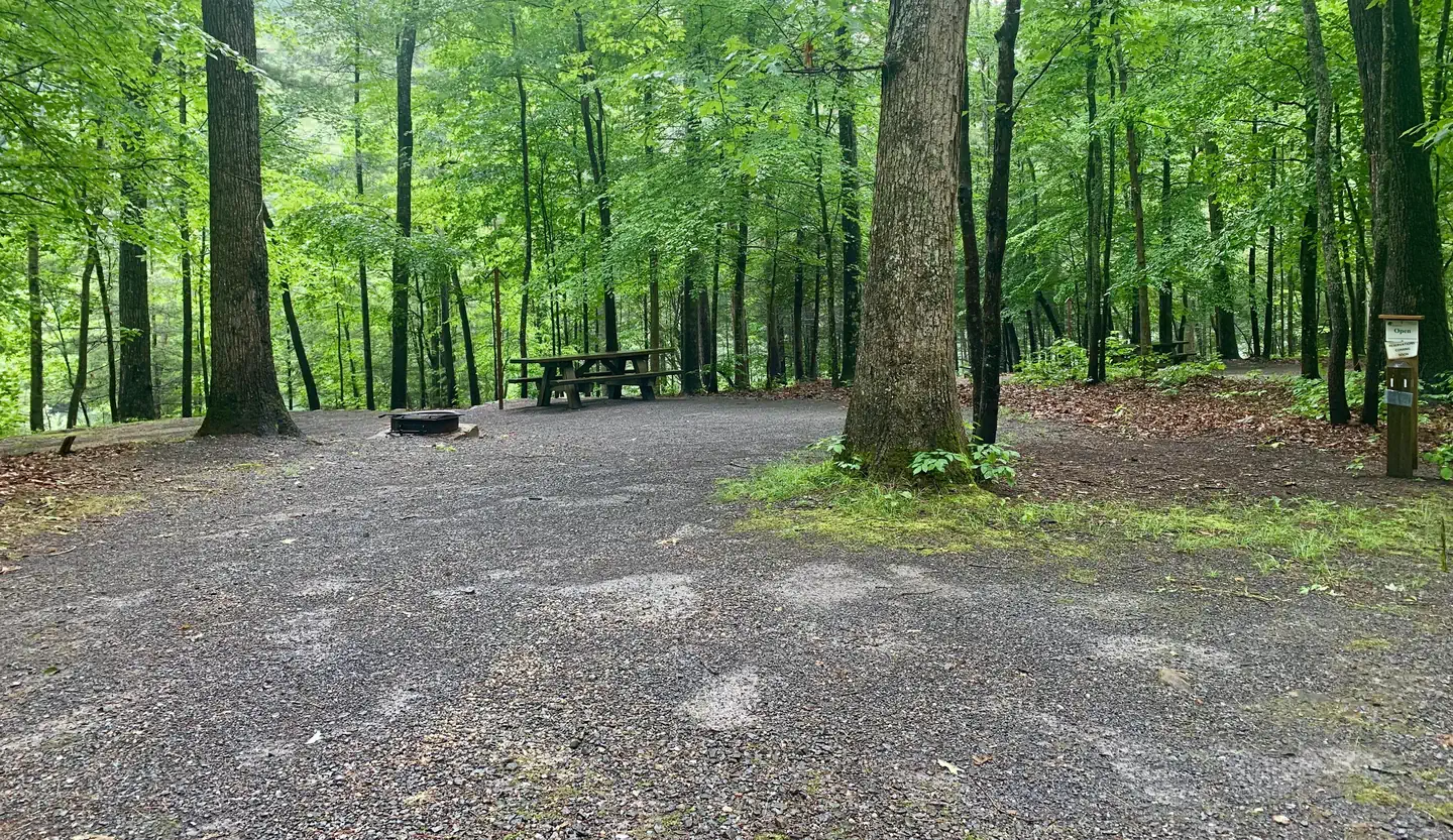 10.7 km away
TN
Jacobs Creek Campground (TN)
Overview PLEASE NOTE: AS THE HURRICANE BANNER DESCRIBES, JACOBS CREEK CAMPGROUND AND DAY-USE AREA IS CLOSED UNTIL FURTHER NOTICE. READ THE NEED TO KNOW SECTION (LOCATED UNDER FACILITY INFORMATION TAB) FOR FURTHER DETAILS. PLEASE READ IT BEFORE MAKING ANY RESERVATIONS. Jacobs Creek Campground is situated along the shores of beautiful South Holston Lake in Sullivan County, Tennessee, at an elevation of 1,730 ft. With a view of miles of undeveloped shoreline and the water, the campsites at Jacobs Creek Campground are a relaxing way to spend your vacation. There are 27 available campsites, 23 of which are reservable, including warm showers in the campground. Campground hosts are available on site to answer your questions. There is a Day-Use area adjacent to the Campground with a designated beach area. Recreation Fishing is a popular activity for campers at Jacobs Creek. There is a boat launch a few miles down the road along Hwy 421. A few campsites have easy access to the lake shore. Children and adults enjoy riding their bikes on the roads between camping loops. There is also a day-use area adjacent to the campground for swimming and picnicking. There is an array of wildflowers to enjoy throughout the season, as well as resident deer and turkey and other natural wonders for the naturalist in your group. Jacobs Creek Shooting Range is about 1 mile outside the campground. Facilities There are a total of 29 campsites, 27 of which are available, within three loops. Some sites are right along the water, and some sites are away from the water. The campground has flush toilets and showers. Each site is non-electric, and contains a table, fire ring and lantern holder. Some sites can accommodate a travel trailer, while some sites are tent only. There is a boat launch a few miles down the road along Hwy 421. Natural Features South Holston Lake is a 7,580-acre hydroelectric reservoir managed by the Tennessee Valley Authority and surrounded by the Cherokee National Forest. Holston Mountain and nearby Iron Mountain provide habitat for an array of wildlife including a healthy population of black bear. Nearby Attractions Jacobs Creek Campground is within 30 minutes of Bristol, Tennessee, and nearby Bristol Motor Speedway. Backbone Rock Recreation Area is approximately 30 minutes away up beautiful Shady Valley, and just five minutes past Backbone Rock is Damascus, Virginia. Little Oak Campground is 25 minutes away for another campground option along South Holston Lake.
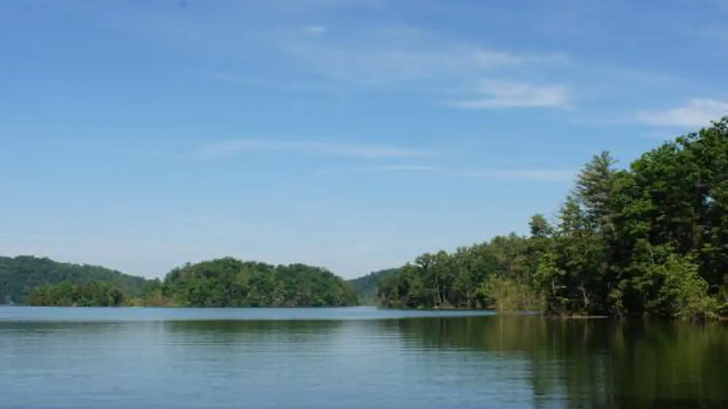 10.9 km away
TN
LITTLE OAK CAMPGROUND
Overview Little Oak Campground hugs the shores and inlets of beautiful South Holston Lake in Sullivan County, Tennessee. With a view of the Holston Mountain ridgeline and lake islands, Little Oak campsites are a relaxing setting for your vacation. There are 69 universally accessible campsites improved in 2012 including warm showers and a paved access road. Campground hosts are available on site to answer your questions. Recreation Fishing is a popular activity for campers at Little Oak, with a concrete boat launch within the campground. Numerous campsites have easy access to the lake shore for tying off your boat. There are nearby trails for hiking and horseback riding. Children and adults enjoy riding their bikes on the roads between camping loops. There is also a lakeside grassy area popular for swimming and picnicking. There is an array of wildflowers to enjoy throughout the season, resident deer and turkey and other natural wonders for the naturalist in your group. Facilities There are 69 universally accessible campsites for tents or RVs within four loops at Little Oak Campground. Each loop has a pair of vault toilets. In addition, there is an accessible shower house with 8 showers for the campground. There is a boat launch within the campground with an additional single vault toilet. The boat launch is for use by registered campers and their guests only. Natural Features South Holston Lake is a 7,580-acre hydroelectric reservoir managed by the Tennessee Valley Authority and surrounded by the Cherokee National Forest. Holston Mountain and nearby Iron Mountain provide habitat for an array of wildlife including a healthy population of black bear. Nearby Attractions Little Oak Campground is within 30 minutes of Bristol, Tennessee, and nearby Bristol Motor Speedway. Backbone Rock Recreation Area is approximately 30 minutes away up beautiful Shadey Valley, and just five minutes past Backbone Rock is Damascus, Virginia. Jacobs Creek Campground and Swim Area is 25 minutes away for another view of South Holston Lake.
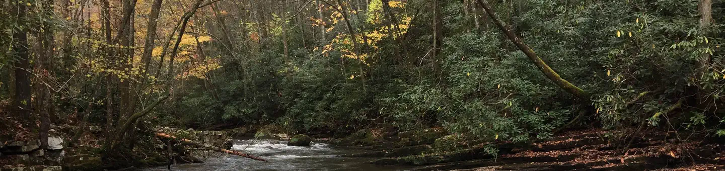 18.4 km away
VA
BACKBONE ROCK CAMPGROUND
Overview Backbone Rock Campground will open for the 2026 season on 4/27/26. The pavilion and vault toilets in the day-use area will open on 3/16/26. Backbone Rock is a small campground situated along the beautiful Beaverdam Creek at an elevation of 2,100 feet in northern Johnson County. This developed campground is popular with those visiting the nearby Backbone Rock, a tunnel originally blasted through the rock ridge for the railway. The creek side location with popular swim area and lush forest surroundings make Backbone Rock Campground particularly desirable during hot summer months. With 10 campsites and an adjacent large Civilian Conservation Corps- built reservable pavilion with lawn, Backbone Rock is a great option for a group to reserve the whole campground for retreats and other events. Recreation Along with camping, Beaverdam Creek is stocked with trout. The Appalachian National Scenic Trail is accessed via the Backbone Rock Trail (#53). Facilities There are 10 single campsites, including two double sites within Backbone Rock Campground. The campground has flush toilets. Each site contains a table, fire ring and lantern holder. Natural Features Backbone Rock Campground is located along the beautiful Beaverdam Creek nestled in the mountains of the Southern Appalachians. Nearby Attractions The trailhead for the Backbone Rock Trail (#53) is approximately a quarter mile South of the campground on TN Highway 133. This trail is 4 miles and at the end of the trail is where it joins into the Appalachian National Scenic Trail (#1) Damascus, VA is approximately 5 minutes North of the campground. The Backbone Falls Trail (#198) is approximately a third of a mile South of the campground. This 0.4 mile loop trail takes you to the top of Backbone Falls.
 18.4 km away
VA
BACKBONE ROCK RECREATION AREA PAVILIONS
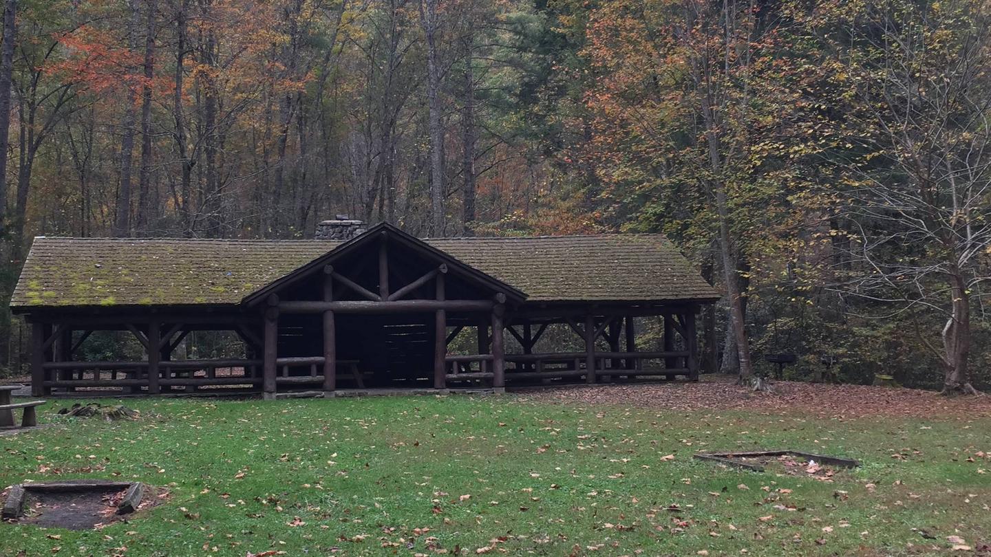
Overview The pavilion at Backbone Rock Recreation Area is a popular location for family reunions and other types of group gatherings. The pavilion is large and adjacent to an expansive field, Beaverdam Creek, and a large parking area. The area includes accessible grills, picnic tables, dumpsters, and vault toilets. Recreation There is a trail that will take you to the top of Backbone Rock, following a stone-step wooded path. The trail crosses the rock and leads to Beaverdam Creek or Backbone Rock Falls. The Appalachian National Scenic Trail adjoins Backbone Rock Trail. Beaverdam Creek is known for its excellent fishing. Facilities There is a Civilian Conservation Corps (CCC) -era pavilion, picnic tables and grills. The pavilion includes a stone fireplace and several large picnic tables with additional tables and grills nearby. Vault toilets are located within the parking area. Natural Features Backbone Rock Recreation Area is located along Beaverdam Creek in northern Johnson County. Backbone Rock gets its name from a spur ridge on Holston Mountain that ends abruptly at a bend in Beaverdam Creek. A tunnel was drilled through the rock in 1901 to allow railroad access between Shady Valley, TN and Damascus, VA. Motorists pass through what is locally known as "The shortest tunnel in the world" as they travel along TN 133. Contact Info This location is unstaffed. To speak with our main office for general information, please call: (423) 735-1500. Nearby Attractions Damascus, Virginia is five miles North of Backbone Rock for any in-town needs.
 20.5 km away
TN
WATAUGA POINT RECREATION AREA
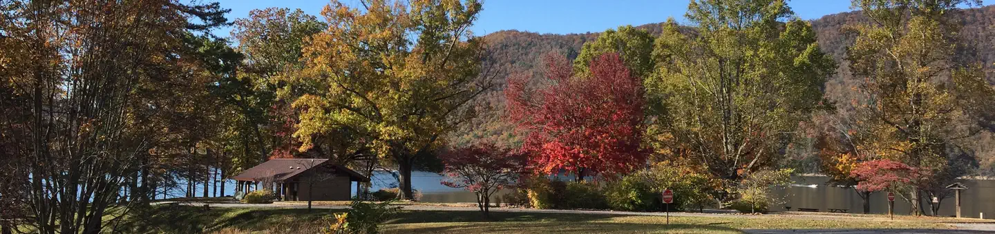
Overview Watauga Point Recreation Area is open for the 2026 season. Watauga Point Recreation Area is located on the southern shore of Watauga Lake in Carter County. Large shade trees scattered throughout grassy areas provide a park setting for picnicking and sunbathing. In addition to picnic facilities, there is a lake and a gravel trail that loops through the nearby forest. Recreation Boaters, anglers, and picnickers all enjoy Watauga Point. There is a wooded trail on site as well. Facilities Watauga Point Recreation Area has one pavilion with electricity, a shady area, accessible flush toilets, and several other picnic tables and pedestal grills spread throughout. There are six picnic tables and two large grills at the pavilion. The shady area has five picnic tables and two grills. The pavilion and shady area are both reservable. Please make sure you are reserving the right thing (either the pavilion or the shady area) when making your reservation. Natural Features At more than 1,900 feet in elevation, Watauga is the highest reservoir in Tennessee. This scenic 6,400-acre reservoir is managed for flood management, power generation, aquatic ecology and recreation. Watauga Point overlooks the reservoir and the Big Laurel Branch Wilderness Area on the opposite shore. Nearby Attractions Both water-based and land-based recreation activities abound near Watauga Point Recreation Area. Forest Service facilities within three miles include Cardens Bluff Campground, Rat Branch Boat Ramp, and Pond Mountain Shooting Range. Contact Info This location is unstaffed. To speak with our main office for general information, please call: (423) 735-1500.
 Britz HiTopCampervan
 Maui UltimaCampervan
 Jucy CoasterCampervan
Hitting the road? Rent the rig, not just the gear.
Compare live prices across Britz, Maui, Apollo, Jucy & more — campervans and motorhomes, one-way hires included.
Compare & bookPlan your visit
Save it, check the weather, map your route
Nearby Fuel
Campsite Explorer
Find Your Next Campsite
Share Your Experience
Help fellow campers by sharing your photos and reviews.
Own This Campsite?
Claim your listing to manage information, respond to reviews, and update details.
Forest camp site