Cedro Group Campground
Cedro Group Campground
About this campsite
Location
Cedro Group Campground•NM
Weather Forecast
via Open-MeteoNearby Campsites
 1.6 km away
NM
Cedro Peak Camping Sites - Robin and Jay
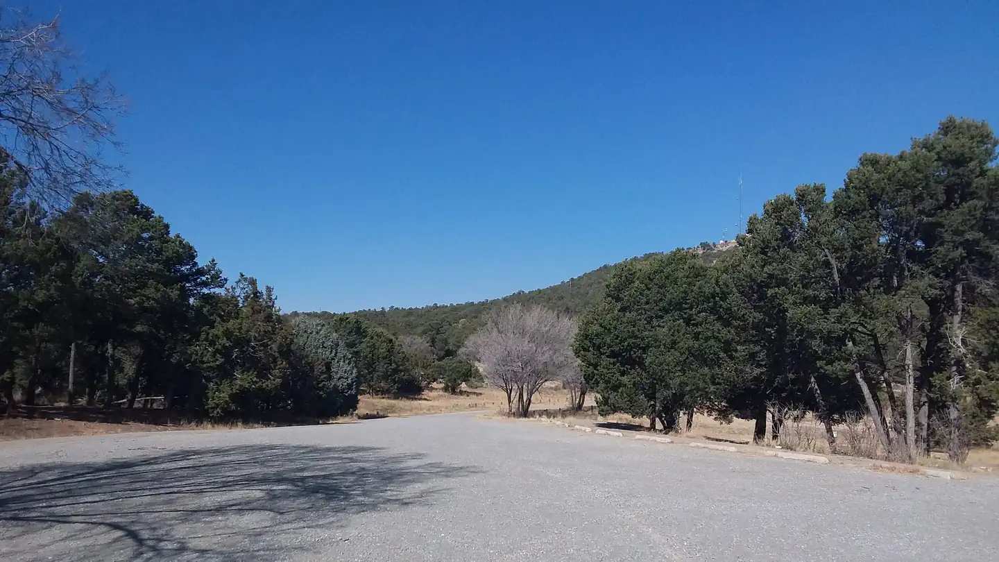
Overview Cedro Peak Camping Sites is a favorite area in the southern portion of the Sandia Ranger District. It is encompassed by ponderosa pine, pinon and juniper trees. Both Cedro Peak camping sites are fully accessible and have plenty of parking. Jay site has a circular turn around drive for those who might bring a small travel trailer. Recreation Cedro Peak Camping Sites has room for outdoor games as well as access to the best trail system for mountain biking in the Cibola National Forest. A variety of hiking, mountain biking, horseback riding and off-road vehicle trails connect with the camping area. The region features more than 80 miles of single-track and equestrian trails. Mountain biking trails in the area can accommodate intermediate to advanced riders. The trails offer expansive views of the Sandia Mountains to the north, the Manzanos and the Cedro Peak Camping Site. Limited off-road vehicle trails are available as well. Please use Leave No Trace ethics when using your public lands. Facilities The campground offers two large, fully accessible group campsites. -Jay can accommodate up to 100 people and 27 vehicles. Rate: $125 per night. -Robin can accommodate up to 150 people and 41 vehicles. Rate: $175 per night. Each site is equipped with grills and tables, some of which are covered by picnic shelters. Large campfire circles are also available. Water and electricity, firewood/charcoal are not available at the site. Accessible vault toilets and bear proof trash receptacles are provided. Bears frequent the area; use appropriate containers for food and garbage. Gate Lock Combination: The combination for the gate lock will be provided in your reservation confirmation email. Have questions? Call the Sandia Ranger District Office, Monday through Friday between 8 a.m. and 4:30 p.m. at (505) 281-3304. Natural Features The group campground is located in the Manzanita Mountains at an elevation of about 7,400 feet. It is eight miles south off of I-40. The campground is nestled in a pinon pine and juniper forest, amid the arid, hilly landscape. Charges & Cancellations There is a $10 non-refundable reservation fee through recreation.gov
 4.0 km away
NM
PINE FLAT PICNIC SITES - A and B
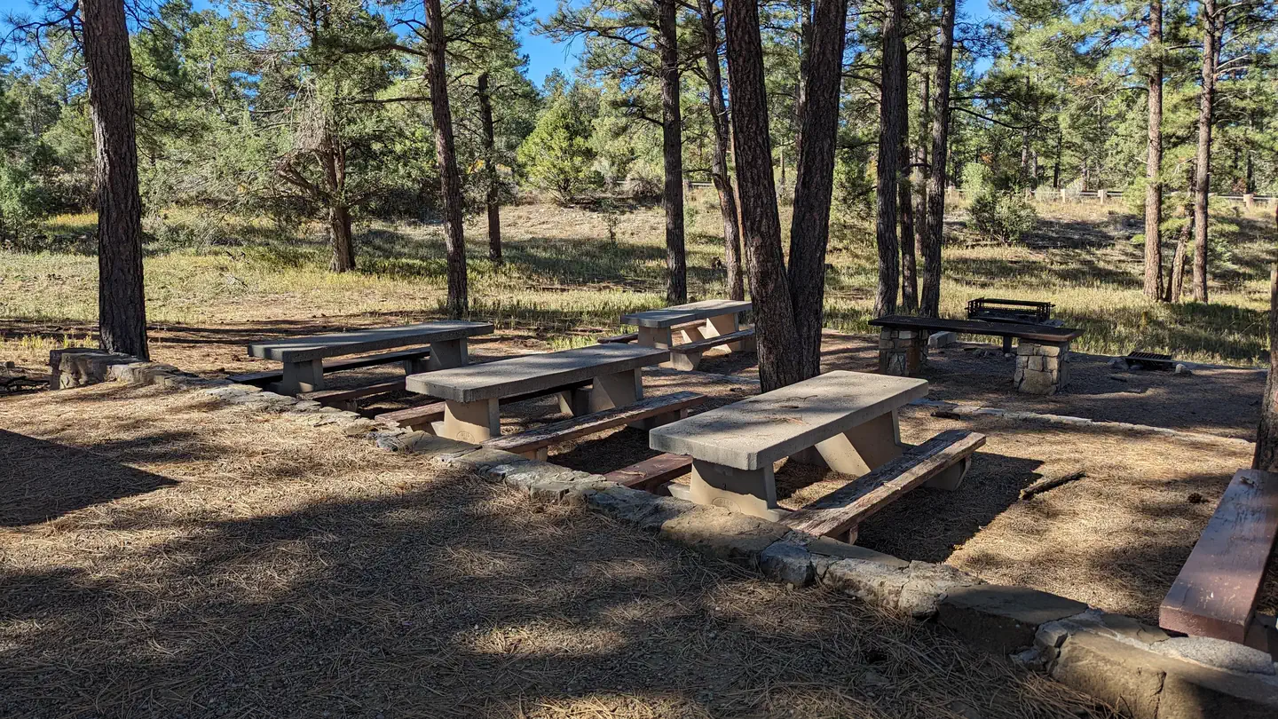
Overview Pine Flat picnic sites A & B are accessible picnic areas. They are located on State Highway 337 (James McGrane Memorial Highway or Old South 14) approximately 7 miles from I-40. State Hwy 337 runs parallel to Pine Flat picnic area making it easy to identify and enter. From the entry way to your left you will find two reserve only sites. The area is surrounded by pinon, juniper, scrub oak and ponderosa pine that lend shade to both reservation areas. Cool mountain breezes are common here. The sound of rustling foliage render Pine Flat picnic sites an excellent place to lean back, relax and maybe even take a nap. Each site can accommodate fifty people. Pine Flat Trailhead has pull through trailer parking in addition to regular vehicle parking, which is located to the right as you enter the gate. Follow the road south to the trailhead that leads into the Manzanita Mountains Trail system. You will also find dispersed picnic tables throughout the Pine Flat sites, which are available on a first-come, first-served basis. Pine Flat Sites A & B were built in 1956 by the Forest Service with the intent to provide picnic sites for large group use. Please take care of your public land by using Leave No Trace ethics. There is no overnight camping at this site. Recreation Pine Flat connector trail leads to a multiuse motorized trail system. The trail system has loops and straightaways to satisfy just about any recreationist. For more information on OHV use, consult the District Motor Vehicle Use Map. Facilities Please note: You must make two separate bookings for site A and B if you want to reserve both. Please verify the site you have reserved when checking out. As you enter the area, to the left you will find two reserve only sites, A and B. Both sites have grills, tables, vault toilets and bear proof trash containers. The trailering area for horse and motorcycle trailers is located to the right as you enter the gate. Follow the road south to the trailhead that leads into the Manzanita Mountains Trail system. Dispersed picnic tables are available on a first-come, first-served basis. They are located throughout the area along the east side of the Pine Flat site. Water and electricity, firewood/charcoal are not available at the site. Accessible vault toilets and bear proof trash receptacles are provided. Bears frequent the area; More about Bears and Food . Have questions? (505) 281-3304. Natural Features Pine Flat picnic ground is 7,240 feet in elevation. It is fairly flat which makes it easy to park a trailer and unload your OHVs or horses. Hikes in the surrounding area can vary in elevation by approximately 50-120 feet. Nearby Attractions The historic Cedro Cemetery and the town of Tijeras are about five miles from the picnic area.
 6.0 km away
NM
Oak Yucca and Locust Group Picnic Sites
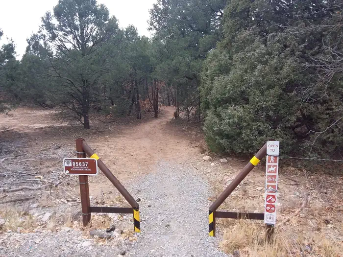
Overview The Oak Flat Group picnic site includes a combination of three different picnic sites and a trailhead, that border four communal playing fields suitable for all sorts of outdoor games. The site is paved and accessible. It is a great place for play, rest and recreation. The picnic sites are surrounded by ponderosa pine forest, mixed with oak, pinon, juniper, and plenty of yucca plants -- New Mexico's state flower. You can look at the day use map, to choose your reserved picnic site, by clicking on the tab above this overview. There is no overnight camping at this site. The sheltered sites are replicas of the mid-1930s Civilian Conservation Corps design. The Civilian Conservation Corps (CCC) has a rich history and lasting presence throughout the Sandias and Manzanitas. In their honor, we ask that you take extra care to leave no trace when you visit. The three picnic areas are available for reservation Friday through Sunday. Recreation There are four large, shared playing fields perfect for outdoor activities. Want to hike? Oak Flat Trailhead leads into a widespread, multiuser trail system shared by mountain bikers, hikers, horseback riders and dirt bikes. The parking lot is small, but is able to accommodate small trailers for horses and motorcycles. However, we suggest horseback riders use the Pine Flat picnic site for trailering. It is located on State Hwy 337. The trail from Pine Flat connects to the Oak Flat site trail system, has larger trailering parking slots and is a shorter drive from I-40 and Historic Route 66/333. Pine Flat also has two reservation sites for picnicking. If you stay into the evening, the stars will dazzle you. Once a month from May to September, the Albuquerque Astronomical Association has a STAR PARTY. You can find the link to info, in the Know Before You Go section. Facilities The Oak Flat Group picnic site features three picnic sites and a trailhead. The trailhead connects to an extensive trail system plus four big playing fields. -Oak Flat- Oak Picnic site is the largest of the three sites in the Oak Flat Picnic Loop. It has a huge paved area with enough tables and grills to handle 1 to 500 people. -Locust Picnic site has a shelter and can handle 1-125 people. -Yucca Picnic site has a shelter and can accommodate 1-60 people. -Oak Flat Trailhead is located past Locust picnic site, which is to your left when you enter the Oak, Yucca and Locust Group Picnic Site. Water and electricity, firewood/charcoal are not available at these sites. Accessible vault toilets and bear proof trash receptacles are provided. More about Bears and Food Natural Features The Oak Flat Group picnic site is just that. It is 7,660 feet above sea level, and as flat as a pancake. The Oak Flat Trailhead leads to a trail system with a variance in elevation of 50-200 feet as the trails amble through the forest. You can find a link to the Manzanita Mountain Trail map in the Know Before You Go section. Nearby Attractions The Manzanita trail system is second to none. See map links in Know Before You Go.
 9.0 km away
NM
Albuquerque Elks Refuge
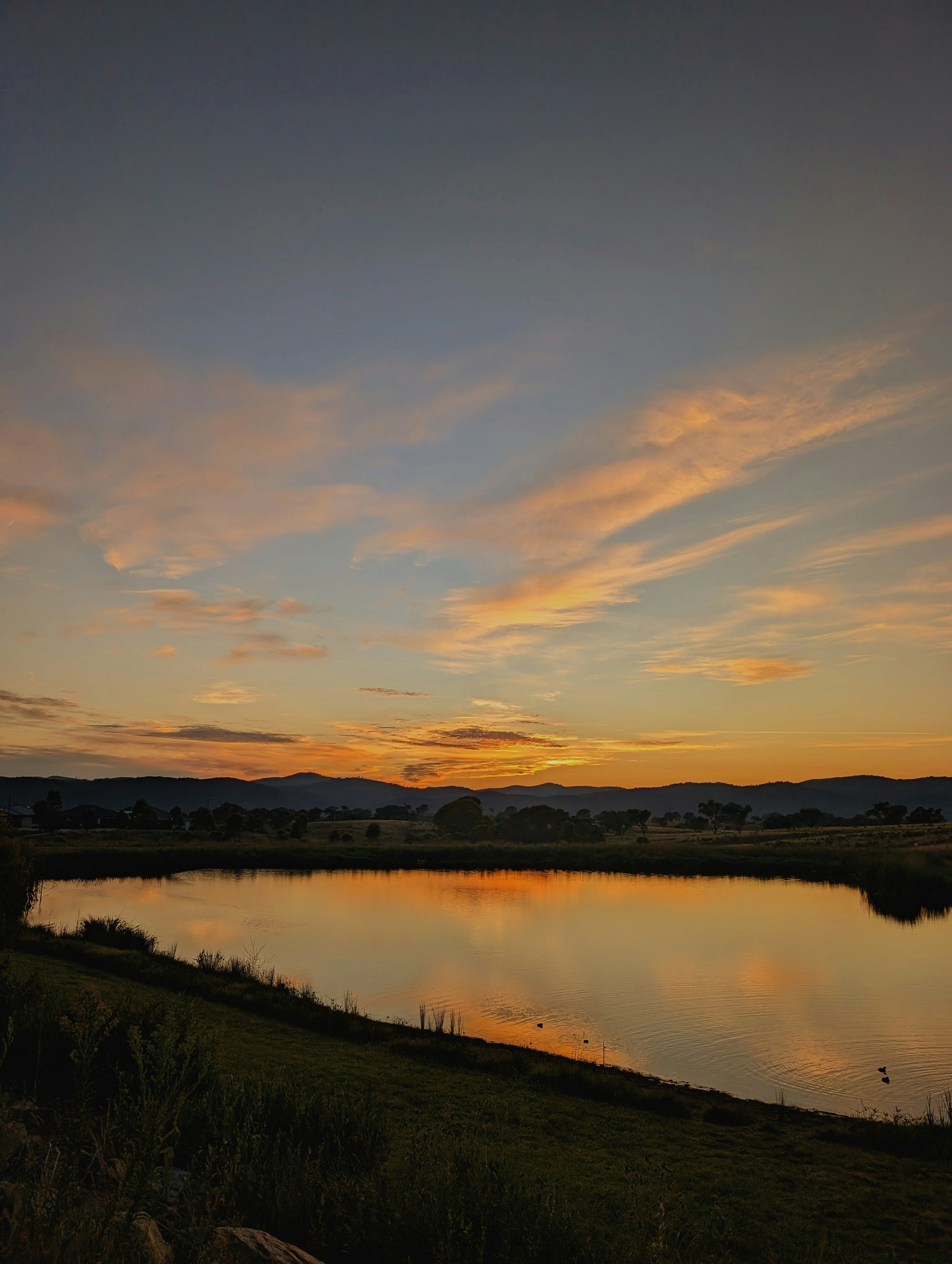
Campground: Albuquerque Elks Refuge.
 13.8 km away
NM
Campbell Scout Ranch
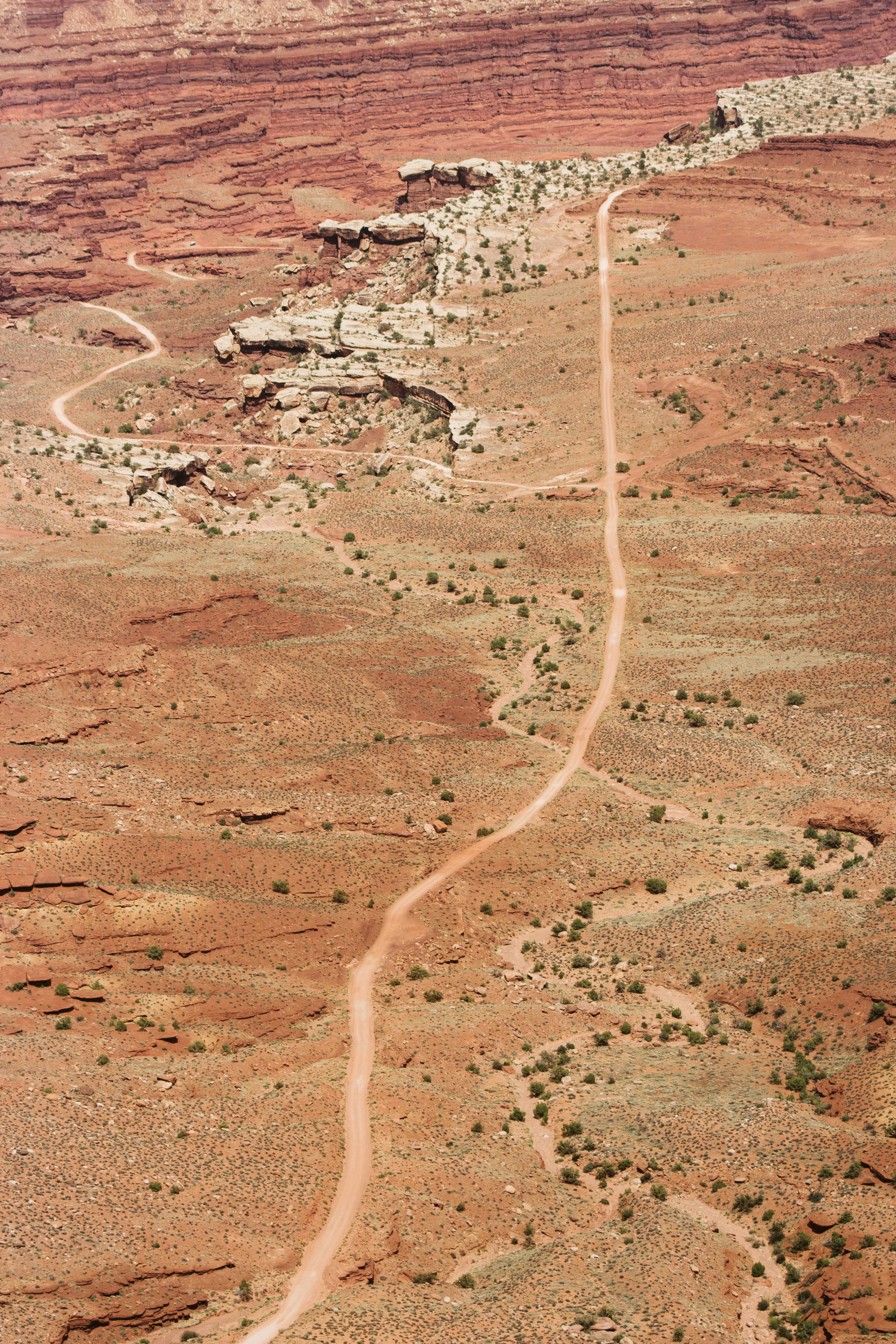
Campground: Campbell Scout Ranch. Operated by Boy Scouts of America.
 Britz HiTopCampervan
 Maui UltimaCampervan
 Jucy CoasterCampervan
Hitting the road? Rent the rig, not just the gear.
Compare live prices across Britz, Maui, Apollo, Jucy & more — campervans and motorhomes, one-way hires included.
Compare & bookPlan your visit
Save it, check the weather, map your route
Nearby Fuel
Campsite Explorer
Find Your Next Campsite
Share Your Experience
Help fellow campers by sharing your photos and reviews.
Own This Campsite?
Claim your listing to manage information, respond to reviews, and update details.
Cedro Group Campground