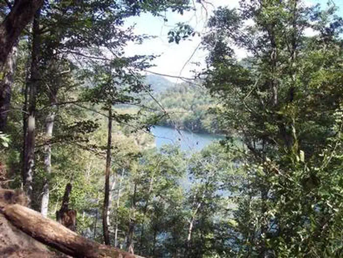
Carr Creek Lake Shelters
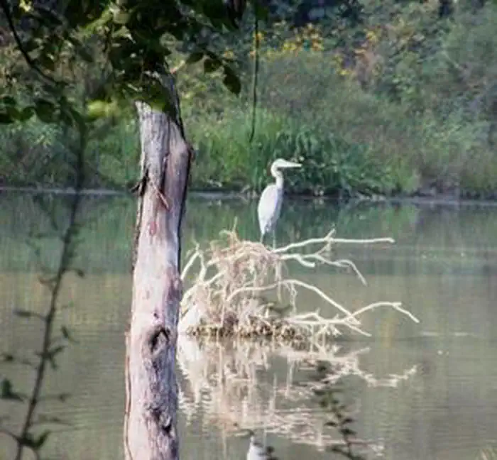
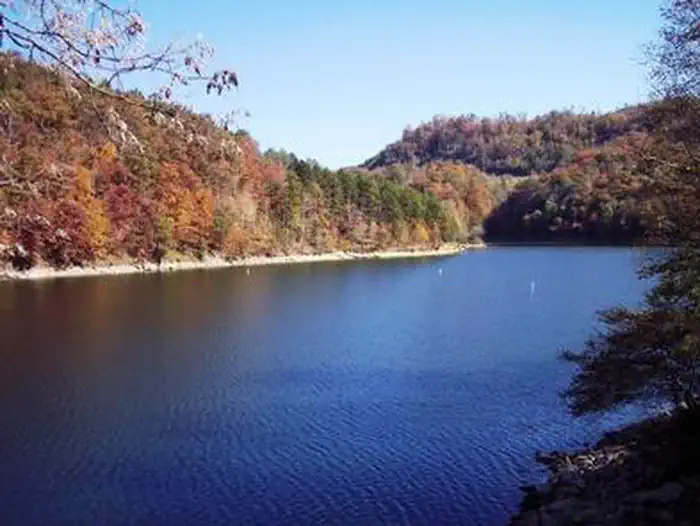
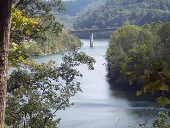
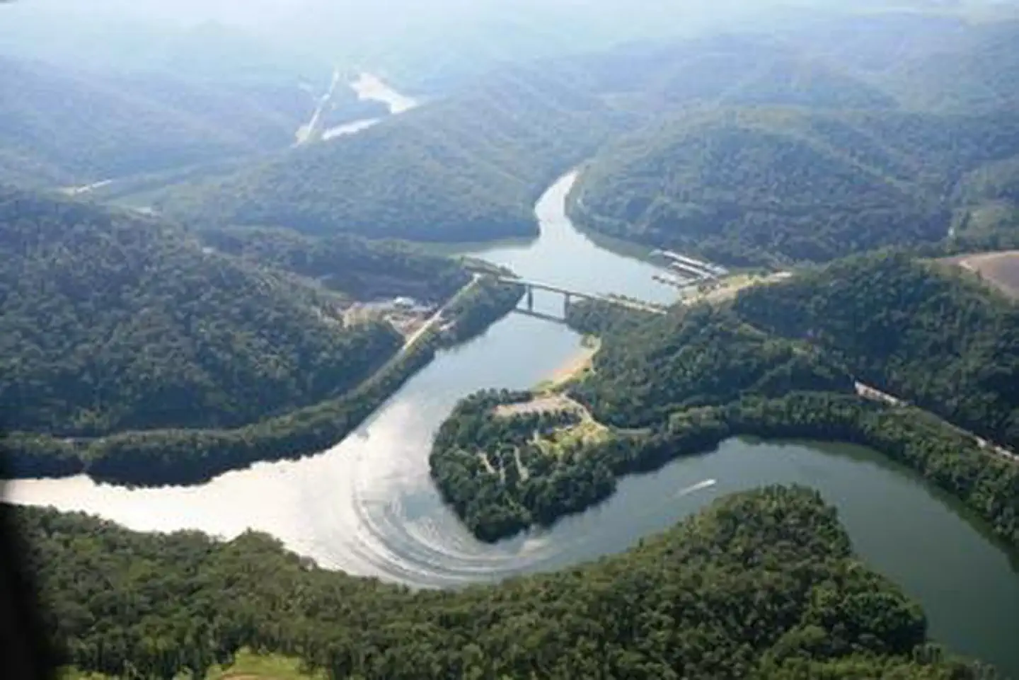
Carr Creek Lake Shelters
About this campsite
Overview
Carr Creek Lake Shelters are located on Carr Creek Lake on the same side of Kentucky Highway 160 as Littcarr Campground. The U.S. Army Corps of Engineers, in cooperation with the Commonwealth of Kentucky, manages the land and water at Carr Creek Lake for wildlife, fisheries and recreation.Recreation
The 710-acre lake and surrounding area offer a wide variety of outdoor recreation opportunities. Boating and water skiing are popular activities on the lake.For the sportsman, fishing is an ever-present activity. Crappie, bass, bluegill and walleye are plentiful in the lake and provide hours of fishing enjoyment. Also, the Kentucky Department of Fish and Wildlife release trout in the tailwater throughout the summer months.
Hikers can find a short nature trail, less than a mile long, in the Dam/Tailwater area. For a bit more adventure, the 6-mile Sugar Branch Trail begins at the dam and ends at Sugar Lake Road.
Facilities
A total of eight picnic shelters are open for use from April through September. The shelters are known as Dogwood, Holly, Laurel, Pin Oak, Poplar, Sycamore, White Pine and Willow. Each is accessible and equipped with electricity, grills, picnic tables and lighting. Each shelter can accommodate up to 200 people; However we are asking that the number of people at each site will be limited to 10 persons due to the COVID-19 outbreak.
Willow, Pin Oak, White Pine and Dogwood are located at the Littcarr Recreation Area, offering access to a boat ramp, playground, horseshoe pit and shoreline fishing. Sycamore and Poplar are in the Dam/Tailwater Area, with a horseshoe pit, large playground and volleyball courts nearby. Laurel and Holly are at the marina, where guests have access to a boat ramp, playground, horseshoe pits and accessible fishing pier. Restrooms are located near all shelters.
Natural Features
Carr Creek Lake is located in the mountainous region of southeastern Kentucky, about 16 miles from Hazard and 18 miles from Whitesburg. The dam is located 8.8 miles above the mouth of Carr Fork, a tributary of the North Fork of the Kentucky River.Location
CARR CREEK LAKE SHELTERS•KY
Common questions about CARR CREEK LAKE SHELTERS
Can you book CARR CREEK LAKE SHELTERS online?
We hold no online booking link for CARR CREEK LAKE SHELTERS, so it is not bookable through this page. Many parks and showgrounds still require a booking, so contact the operator before you go. Their website or phone number is the fastest way to confirm a site.
Where is CARR CREEK LAKE SHELTERS?
CARR CREEK LAKE SHELTERS sits in KY. The map on this page shows the exact spot, and the coordinates travel straight into your navigation app. Check road conditions before you set out if you are towing, since access tracks can change with the weather.
Nearby Campsites
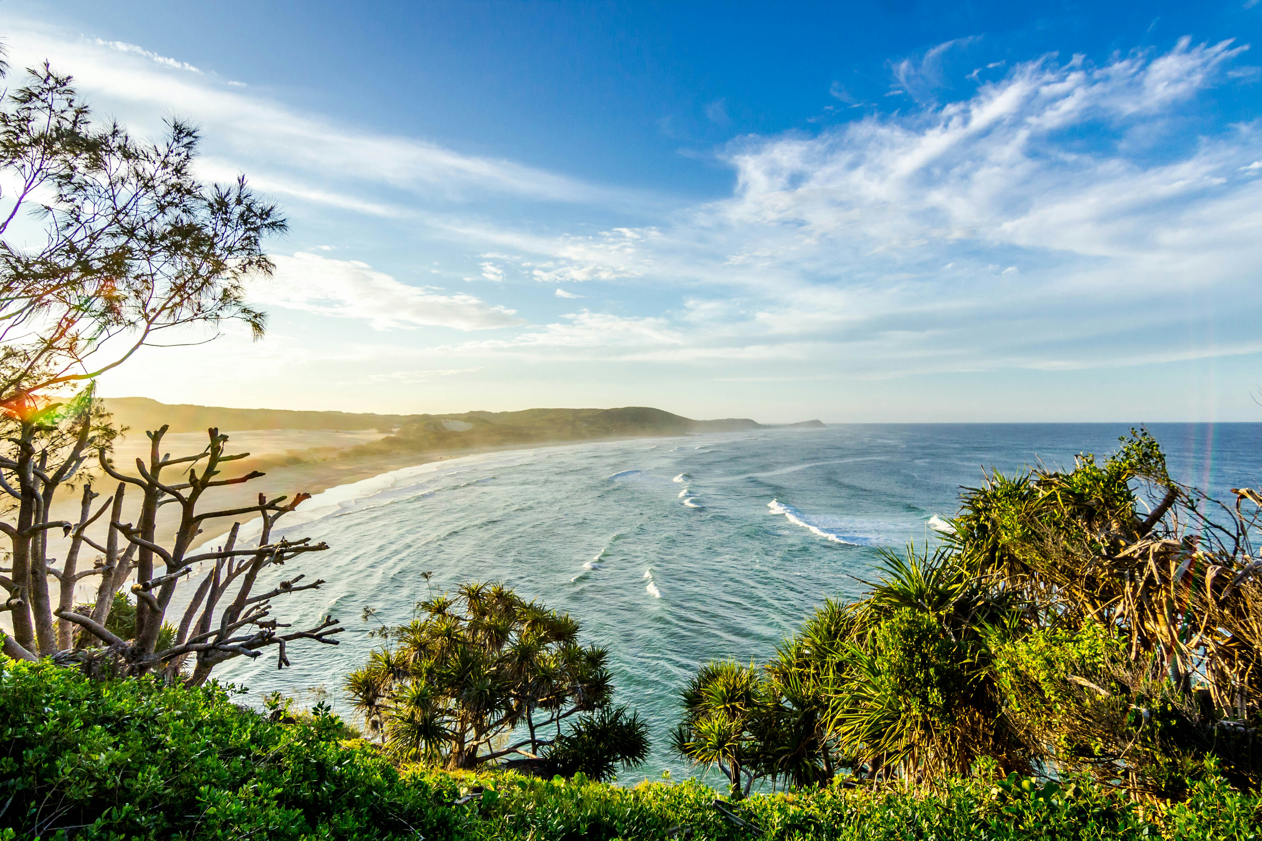 2.9 km away
KY
Carr Creek State Park Campground
Campground: Carr Creek State Park Campground.
 7.5 km away
KY
LITTCARR CAMPGROUND
Overview Littcarr Campground is located on the shores of Carr Creek Lake in southeastern Kentucky's mountainous region. The area provides an excellent atmosphere for camping, fishing, boating and enjoying the natural setting. Recreation The lake offers boating, water skiing and swimming. Anglers can fish for crappie, bass, bluegill and walleye. A short nature trail for hiking is located in the Dam/Tailwater area. For a bit more adventure, the six-mile Sugar Branch Trail begins at the dam and ends at Sugar Lake Road. Facilities The campground offers 45 sites with electric and water hookups. Amenities include flush toilets, showers, drinking water, laundry facilities and a dump station. For family-friendly entertainment, two playgrounds, a picnic shelter, horseshoe pits, and basketball and shuffleboard courts are also on-site. Natural Features Carr Creek Lake is situated in a scenic sloping landscape heavily forested with a wide variety of hardwood and pine trees. An array of songbirds and waterfowl inhabit the area's marshlands. Contact Info For facility specific information, please call (606) 288-5471. Nearby Attractions Nearby attractions include Daniel Boone National Forest, Lilley Cornett Woods, Bad Branch Falls Nature Preserve, Red River Gorge Natural Scenic Area, Natural Bridge State Park and Buckhorn Lake.
 25.8 km away
KY
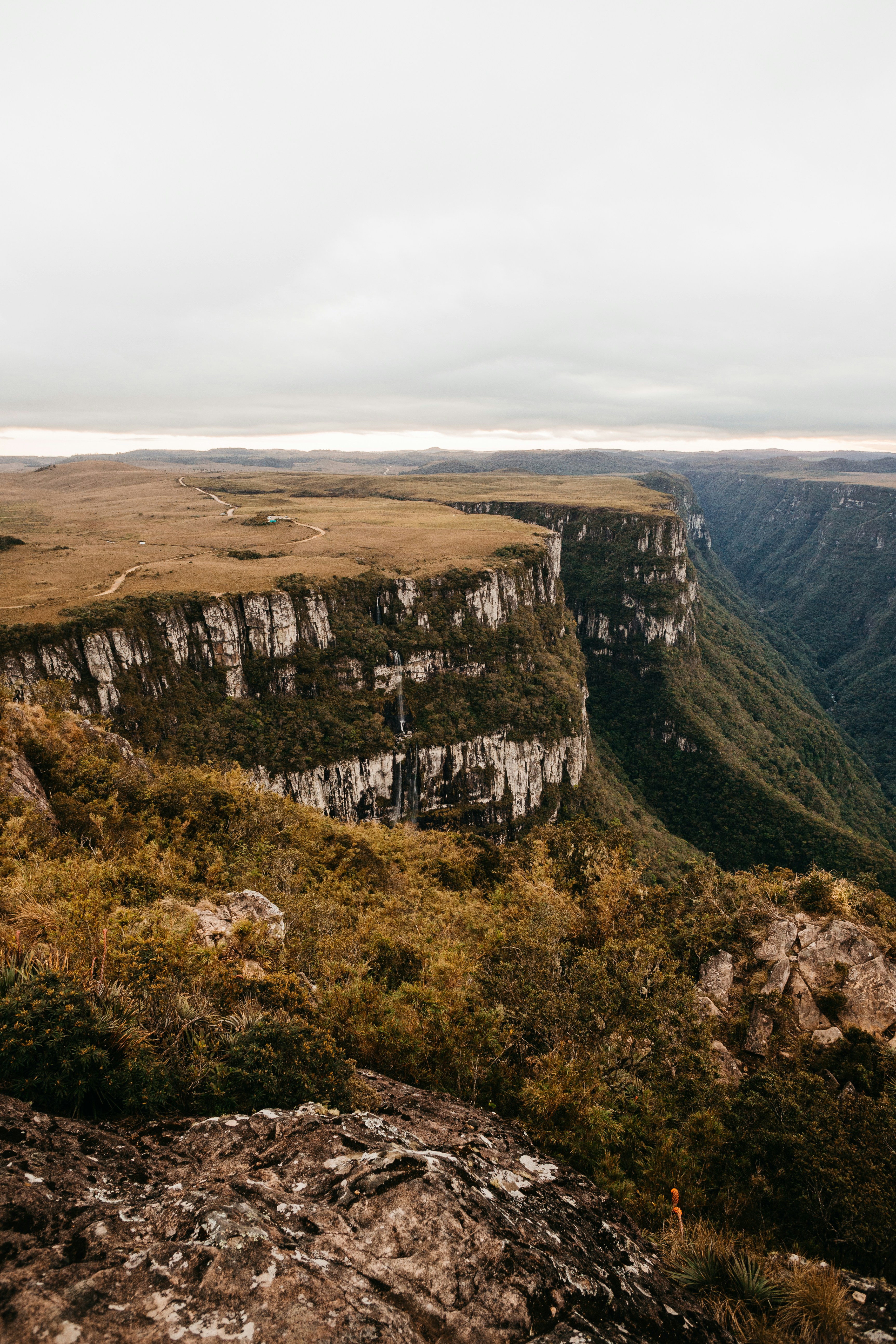
Paul Van Booven WildLife Management Area
Campground: Paul Van Booven WildLife Management Area. Operated by wma.
 29.0 km away
KY
Swindall Campsite
Campground: Swindall Campsite.
 30.0 km away
KY
TRACE BRANCH CAMPGROUND
Overview The Trace Branch Campground, located on Buckhorn Lake, is a great launchpad for outdoor activities in Kentucky's lush Cumberland Plateau. The facility features plenty of shade and open grassy areas for spreading out and enjoying the landscape of the Appalachian Mountain Range. Recreation Buckhorn lake offers ideal conditions for anglers including seclusion from fishing pressure and boat traffic, producing some of the best muskie fishing in the area. With comfortable water temperatures,swimming and water skiing are popular in summer months and hikers are encouraged to take advantage of the area's many miles of trails. Facilities Trace Branch Campground boasts mostly waterfront campsites with electric and water hookups. Amenities include a shower house, playground, horseshoe pits, and a convenient fishing area. Natural Features Buckhorn Lake is situated in the Cumberland Plateau of eastern Kentucky. The rugged plateau landscape is deeply traversed by a series of narrow, winding valleys separated by steep watersheds with branching streams. The Kentucky River feeds the lake, originating in the southeast of the state and flowing generally northwestward. Nearby Attractions Nearby destinations include the Lilley Cornett Woods, Daniel Boone National Forest, Natural Bridge State Resort Park and the Red River Gorge Geological Area.
 Britz HiTopCampervan
 Maui UltimaCampervan
 Jucy CoasterCampervan
Hitting the road? Rent the rig, not just the gear.
Compare live prices across Britz, Maui, Apollo, Jucy & more — campervans and motorhomes, one-way hires included.
Compare & bookPlan your visit
Save it, check the weather, map your route
Nearby Fuel
Campsite Explorer
Find Your Next Campsite
Share Your Experience
Help fellow campers by sharing your photos and reviews.
Own This Campsite?
Claim your listing to manage information, respond to reviews, and update details.