
Amory Boat Ramp Picnic Shelter

Amory Boat Ramp Picnic Shelter
About this campsite
Overview
Amory Boat Ramp Picnic Shelter is located on the Tennessee-Tombigbee Waterway in Amory, Mississippi. The shelter has 8 picnic table and 2 grills. The shelter is located at Amory Boat Ramp which has a 2 lane boat ramp, courtesy dock, and restroom.
Recreation
Picnicking, boating, and fishing
Facilities
The picnic shelter is equipped with 8 picnic tables and 2 grills.
Natural Features
The Tennessee-Tombigbee Waterway extends 234 miles from the Tennessee River to the junction of the Tombigbee River in Alabama. The man-made waterway connects the nation's midsection of commercial water transportation with the Gulf of Mexico. The Tenn-Tom Waterway is the largest earth moving project in the history of the world! The Tenn-Tom Waterway has 180,000 acres of public land waiting for you to explore.
Contact Info
This location is unstaffed. To speak with our main office for general information, please call: (662) 862-5414.Nearby Attractions
Town of Amory
Location
Amory Boat Ramp Picnic Shelter•MS
Weather Forecast
via Open-MeteoCommon questions about Amory Boat Ramp Picnic Shelter
Can you book Amory Boat Ramp Picnic Shelter online?
We hold no online booking link for Amory Boat Ramp Picnic Shelter, so it is not bookable through this page. Many parks and showgrounds still require a booking, so contact the operator before you go. Their website or phone number is the fastest way to confirm a site.
Where is Amory Boat Ramp Picnic Shelter?
Amory Boat Ramp Picnic Shelter sits in MS. The map on this page shows the exact spot, and the coordinates travel straight into your navigation app. Check road conditions before you set out if you are towing, since access tracks can change with the weather.
Nearby Campsites
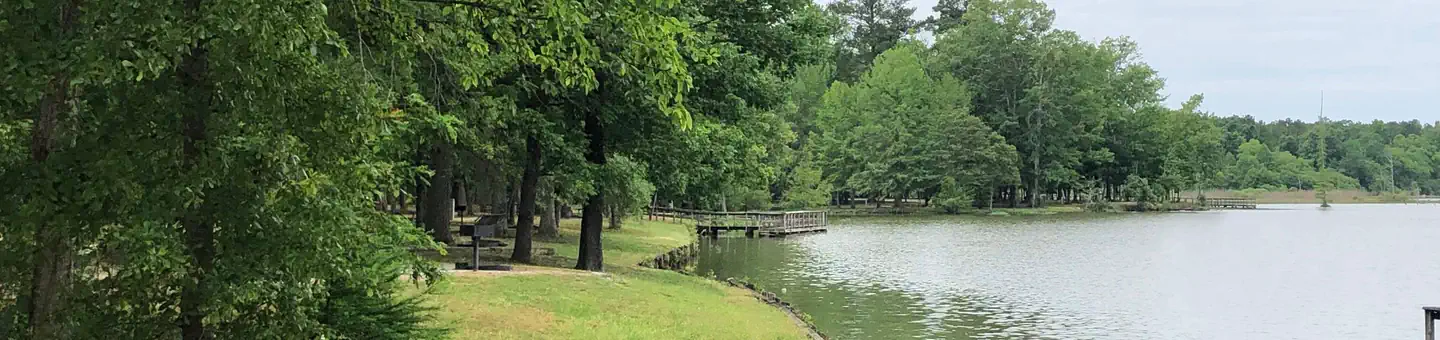 18.9 km away
MS
BLUE BLUFF CAMPGROUND (ABERDEEN MS)
Overview Blue Bluff Campground and Recreation Area, on the Aberdeen Lake section of the Tennessee-Tombigbee Waterway in Mississippi, is one of the most scenic recreation areas on the waterway. The area is located just north of Aberdeen and boasts both a campground and day-use area. Thousands of outdoor enthusiasts visit the area each year for picnicking, fishing and swimming. Recreation Families can swim at the facility's beach, play on the multi-use court and walk along the wooded waterfront. Anglers can try their luck on the accessible fishing dock or go off-shore in search of bass, walleye, crappie, catfish and sunfish. Additionally, hunters can seek out a diverse range of high quality habitats for upland game and waterfowl species at designated hunting areas along the waterway. Facilities The campground offers 92 campsites with electric and water hookups, picnic tables, fire rings with grills, pedestal grills and lantern posts, making it perfect for parties and family functions. The facility is mostly shaded and has many scenic views of the waterway. Picnic areas and a beach are nearby. Natural Features Blue Bluff is named for the beautiful clay and limestone cliffs that border the park on the eastern side. The bluff rises 80 feet above the water and provides a lofty view of Aberdeen Lake and the nearby lock and dam. The waterway extends 234 miles from the Tennessee River to the junction of the Tombigbee River in Alabama and connects the nation's midsection of commercial water transportation with the Gulf of Mexico. Nearby Attractions A tour can be schedule at the Aberdeen Lock and Dam next door, which provides an opportunity to watch barges and other recreational boats go through the lock on the waterway. The town of Aberdeen, just from minutes from the campground, has various amenities, tours and events. Tupelo, Mississippi, known as the birthplace of Elvis Presley, is a 45-minute drive north.
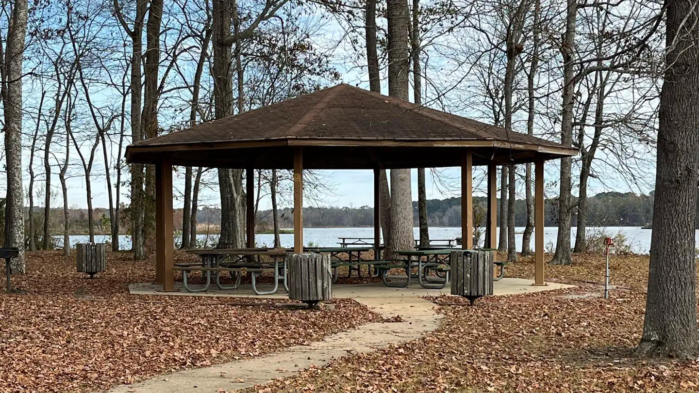 19.0 km away
MS
Blue Bluff Picnic Area (Aberdeen Lake)
Overview Blue Bluff Picnic Area is situated on a bluff overlooking Aberdeen Lake along the Tennessee-Tombigbee Waterway. The area features three shelters that can be rented. The area typically is open the beginning of March to the end of October. Blue Bluff Picnic Area is great for birthdays and family reunions. Recreation The Tennessee Tombigbee Waterway offers many recreational opportunities such as camping, hunting, fishing, boating, and swimming. Hunting opportunities can be found on Corps of Engineers land in Mississippi and Alabama, as well as other state managed wildlife management areas along the waterway. Fishing the many varieties of fish on the waterway is a yearlong event, with people fishing along the shoreline or joining in on the many tournaments that are held on the waterway throughout the year. Boating is a popular activity on the waterway and many people enjoy waterskiing, swimming, and other water related activities. Swimming can be enjoyed from your boat or at a designated beach along the waterway. Facilities Each shelter provides water, electricity, and picnic tables for your use (except the two shelters at Waverly Day Use do not have electricity). A park host is available at most of the shelters where they can provide additional information if need be. Natural Features Blue Bluff Recreation area is named for the beautiful clay and limestone cliffs that border the area. The bluff rises 80 feet above the water and provides a lofty view of Aberdeen Lake and the nearby lock and dam. The surrounding woods offers a trail to walk on where you can overlook the Tennessee-Tombigbee Waterway and along the way see deer, many varieties of birds, and squirrels.
 31.7 km away
MS
Cherokee Picnic Shelter
Overview Cherokee Pavilion is located on the Tennesse Tombigbee Waterway Fulton, MS. This pavilion is equipped with 8 picnic tables and1 grill. Cherokee pavilion is located with the Jamie L. Whitten recreation area. Recreation Boating, Fishing, Disc Golf Course, and near by walking track. Facilities 8 picnic tables, 1 grill, 4 trach cans, and 2 extra benches Natural Features The Tennessee-Tombigbee Waterway extends 234 miles from the Tennessee River to the junction of the Tombigbee River in Alabama. The man-made waterway connects the nation's midsection of commercial water transportation with the Gulf of Mexico. The Tenn-Tom Waterway is the largest earth moving project in the history of the world! The Tenn-Tom Waterway has 180,000 acres of public land waiting for you to explore. Nearby Attractions Itawamba Community College, City of Fulton
 31.8 km away
MS
Jamie L. Whitten Campground
This recreation area is part of Tennessee-Tombigbee Waterway
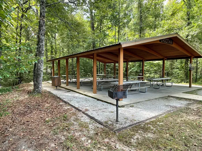 31.9 km away
MS
Whitten Park Picnic Shelters
Overview Whitten Park Picnic Shelters is located on the Tennesse Tombigbee Waterway, which is located in Fulton, MS. Whitten Park offers 2 large picnic shelters and a bathroom facility. Recreation Picnicking, Basketball, Tennis Court, Playground, Disc Golf Facilities 2 Picnic shelters, and 1 Bathroom Natural Features The Tennessee-Tombigbee Waterway extends 234 miles from the Tennessee River to the junction of the Tombigbee River in Alabama. The man-made waterway connects the nation's midsection of commercial water transportation with the Gulf of Mexico. The Tenn-Tom Waterway is the largest earth moving project in the history of the world! The Tenn-Tom Waterway has 180,000 acres of public land waiting for you to explore. Nearby Attractions Whitten Campground, Itawamba Community College, City of Fulton, Fulton Boat Ramp
 Britz HiTopCampervan
 Maui UltimaCampervan
 Jucy CoasterCampervan
Hitting the road? Rent the rig, not just the gear.
Compare live prices across Britz, Maui, Apollo, Jucy & more — campervans and motorhomes, one-way hires included.
Compare & bookPlan your visit
Save it, check the weather, map your route
Nearby Fuel
Campsite Explorer
Find Your Next Campsite
Share Your Experience
Help fellow campers by sharing your photos and reviews.
Own This Campsite?
Claim your listing to manage information, respond to reviews, and update details.