
Alta Campground


Alta Campground
About this campsite
Overview
Alta Campground is located in a scenic forest in the heart of Montana's Bitterroot National Forest. The West Fork of the Bitterroot River flows nearby, giving visitors access to some of the best fishing the area has to offer, as well as other water-related recreation.Recreation
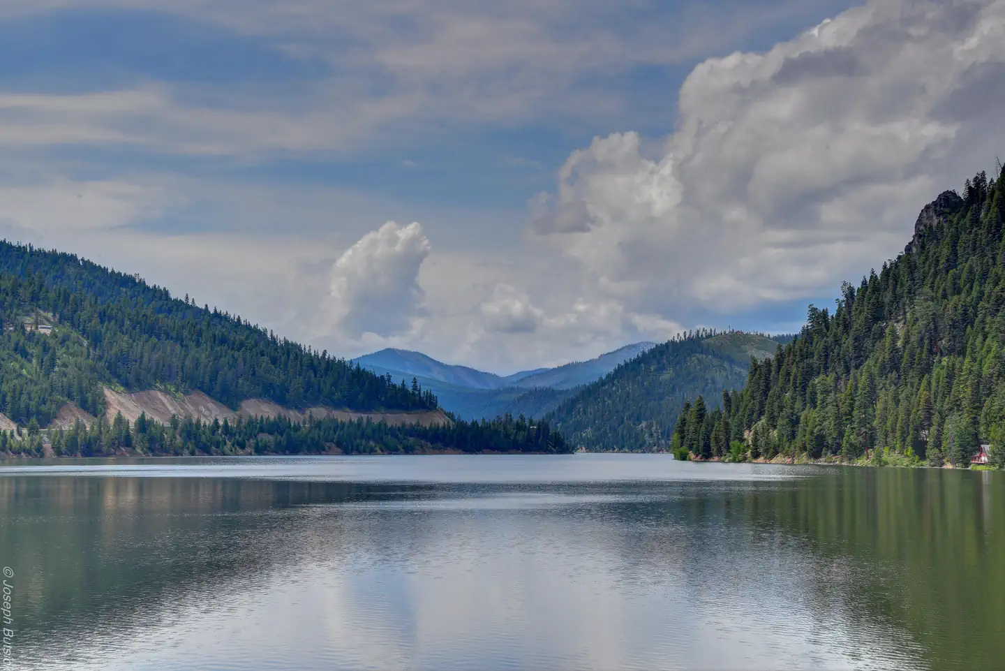
Fly fishing and wading in the Bitterroot River, which runs alongside the campground, are popular activities. A variety of trails and unimproved roads are great for exploring by bike or off-road vehicle. Hiking trails to various mountain peaks, including to Lookout, Razorback and Thunder Mountains, as well as Beaver and Deer Creek Points, are nearby. The Alta Pine interpretive trail is located 1/2 mile to the north. Painted Rocks Lake is located about five miles north of the campground. Visitors enjoy swimming, kayaking, boating and fishing. Anglers will find mountain whitefish and a variety of trout.
Facilities
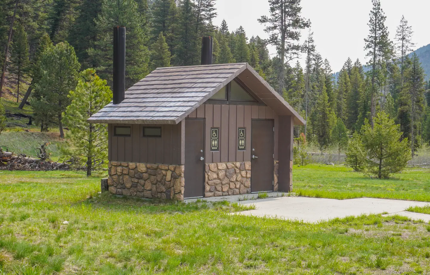
The campground offers 14 campsites, three of which are accessible, for tent and RV camping. Each site can accommodate up to 10 people and two vehicles. Utility hookups are not available. Parking spurs are gravel. Each site is equipped with a table and campfire ring with grill. Accessible vault toilets and drinking water are provided. A campground host is available on-site and trash collection bins are placed throughout the facility. One bear-proof container is provided at the campground for those traveling on bicycle or ATV to properly store food and other attractants.
Natural Features
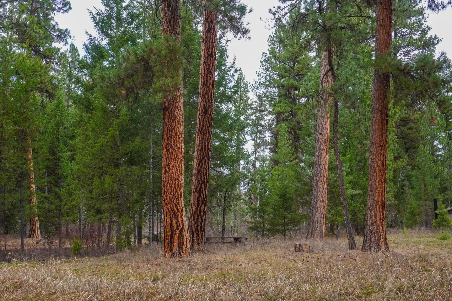
The campground is located along the West Fork of the Bitterroot River, a popular fishing river in the area. Large, yellow-barked ponderosa pine trees tower above many of the campsites, which along with fir, aspen and lodgepole pine, provide pleasant shade. The campground is situated at an elevation of about 4,580 feet. A variety of wildlife can be seen in the area, including bald eagles, piliated woodpecker, mule and white-tailed deer, moose, elk, bighorn sheep and numerous songbirds.
Nearby Attractions
The Alta Ranger Station, located on Hughes Creek FS Road #5693, was the first Forest Service Ranger Station in the United States, built in 1899. It remains a popular tourist location and is just 5 minutes from the campground. Hughes Creek, once a vibrant placer gold mining site, is an historic area which accounted for 88 percent of all the placer gold recovered in Ravalli County from 1904-1948. Horse Creek natural hot springs can be found about 18 miles south from the campground, via gravel road with high-clearance vehicle recommended. The nearest town is Conner, which provides some services and is approximately 27 miles to the north. Darby is about 32 miles away and offers full services.
Charges & Cancellations
A $10.00 service fee will apply if you change or cancel your reservation. Late cancellations are subject to additional fees. For full details see NRRS Reservation Policy.Location
ALTA CAMPGROUND•MT
Weather Forecast
via Open-MeteoNearby Campsites
 8.4 km away
MT
Slate Creek Campground
Campground: Slate Creek Campground.
 15.8 km away
MT
ROMBO
Overview Rombo Campground is located in a scenic area along the West Fork Bitterroot River in the mountains of southwestern Montana. The area is home to a variety of big game and wildlife, and provides access to a number of outdoor activities, including fishing, seasonal rafting and various hiking trail opportunities. Recreation Fly fishing and wading in the West Fork Bitterroot River are popular activities. During high water season, kayaking and rafting are available as well. Painted Rocks Lake is just five miles south of the campground. Visitors enjoy swimming, kayaking, boating and fishing. Anglers will find mountain whitefish and a variety of trout. Many trails and unimproved roads in the area are great for exploring by bike or off-road vehicle. Hiking trails to various mountain peaks are nearby. Facilities The campground offers 16 sites, four of which are accessible, for tent and RV camping. Individual sites can accommodate up to 10 people and two vehicles. One bear proof container is provided for tent campers on bicycles or ATVs to comply with the Food Storage Order. Bear proof garbage dumpsters are available throughout the campground. Picnic tables, campfire rings and grills are provided, as are accessible pit toilets and drinking water. A campground host is on-site. Utility hookups are not available. Parking surfaces are gravel. A fill site for potable water is located just beyond Site #16 Natural Features The campground is located along the West Fork of the Bitterroot River. Large yellow-barked ponderosa pine trees tower above many of the campsites, which along with fir, aspen and cottonwoods, provide pleasant shade. The campground is situated at an elevation of 4,500 feet. A variety of wildlife makes its home in the area, including bald eagles, piliated woodpeckers, mule and white-tailed deer, moose, elk, bighorn sheep, black bears and numerous songbirds. Nearby Attractions The Alta Ranger Station, located on Hughes Creek Road, was the first Forest Service Ranger Station in the United States, built in 1899. It remains a popular tourist location and is a short distance from the campground. Horse Creek Hot Springs is about 29 miles from the campground and can be accessed via a gravel road with a high-clearance vehicle. A post office and a general store and deli can be found in Conner, 16 miles from the campground. Darby is 24 miles from the campground. It is a full-service community with fuel, lodging, a grocery store, restaurants, and other local businesses. Charges & Cancellations A $10.00 service fee will apply if you change or cancel your reservation. Late cancellations are subject to additional fees. For full details see NRRS Reservation Policy.
 17.5 km away
MT
FALES FLAT CAMPGROUND
Overview Fales Flat Campground is a group facility on Nez Perce Fork of the Bitterroot River. It is also well equipped for equestrian campers. The campground provides access to a variety of hiking and horseback riding trails in the area, as well as a variety of historic sites that denote the presence of the Nez Perce many years ago. Recreation Fly fishing and wading in the Nez Perce Fork, which runs alongside the campground, are also popular activities. A variety of trails and unimproved roads are great for hiking and horseback riding. Three trails originate near the campground. Watchtower Trail is just down the Nez Perce a mile, Sheephead Creek Trail which is across the road from Fales Flat campground accesses the Selway-Bitterroot Wilderness and can be hiked as a loop, or up to or down from the top of Nez Perce Pass. A third trail, Barecone Trail starts just below Fales Flat Campground and is a steep, 2-mile trail which leads to Bare Cone Lookout. Facilities The campground offers one large group site for tent and RV camping. It can accommodate 15 to 100 people. Hookups are not available. Parking surfaces are gravel. The site is equipped with multiple tables and a large campfire circle. Vault toilets are provided. Drinking water and trash collection bins are not available. A few individual and equestrian sites are available at the campground on a first-come, first-served basis. Those sites have access to a horse staging area and hitching racks. Natural Features The campground is located in a large meadow at the base of Nez Perce Pass along the Nez Perce Fork of the Bitterroot River. The area is believed to have been used by the Nez Perce Nimi'ipuu tribe during its travels to the buffalo country in eastern Montana. Nearby Attractions The campground is at the base of Nez Perce Pass which is a corridor into the heart of the Selway-Bitterroot Wilderness and Frank Church-River of No Return Wilderness Areas. The Montana/Idaho stateline sits atop Nez Perce Pass where there is interpretive information and trailhead access north and south.
 18.0 km away
MT
West Fork Campground
Campground: West Fork Campground.
 18.1 km away
ID
Horse Creek Campground
Campground: Horse Creek Campground.
 Britz HiTopCampervan
 Maui UltimaCampervan
 Jucy CoasterCampervan
Hitting the road? Rent the rig, not just the gear.
Compare live prices across Britz, Maui, Apollo, Jucy & more — campervans and motorhomes, one-way hires included.
Compare & bookPlan your visit
Save it, check the weather, map your route
Nearby Fuel
Campsite Explorer
Find Your Next Campsite
Share Your Experience
Help fellow campers by sharing your photos and reviews.
Own This Campsite?
Claim your listing to manage information, respond to reviews, and update details.
ALTA CAMPGROUND