
Piney Guard Station


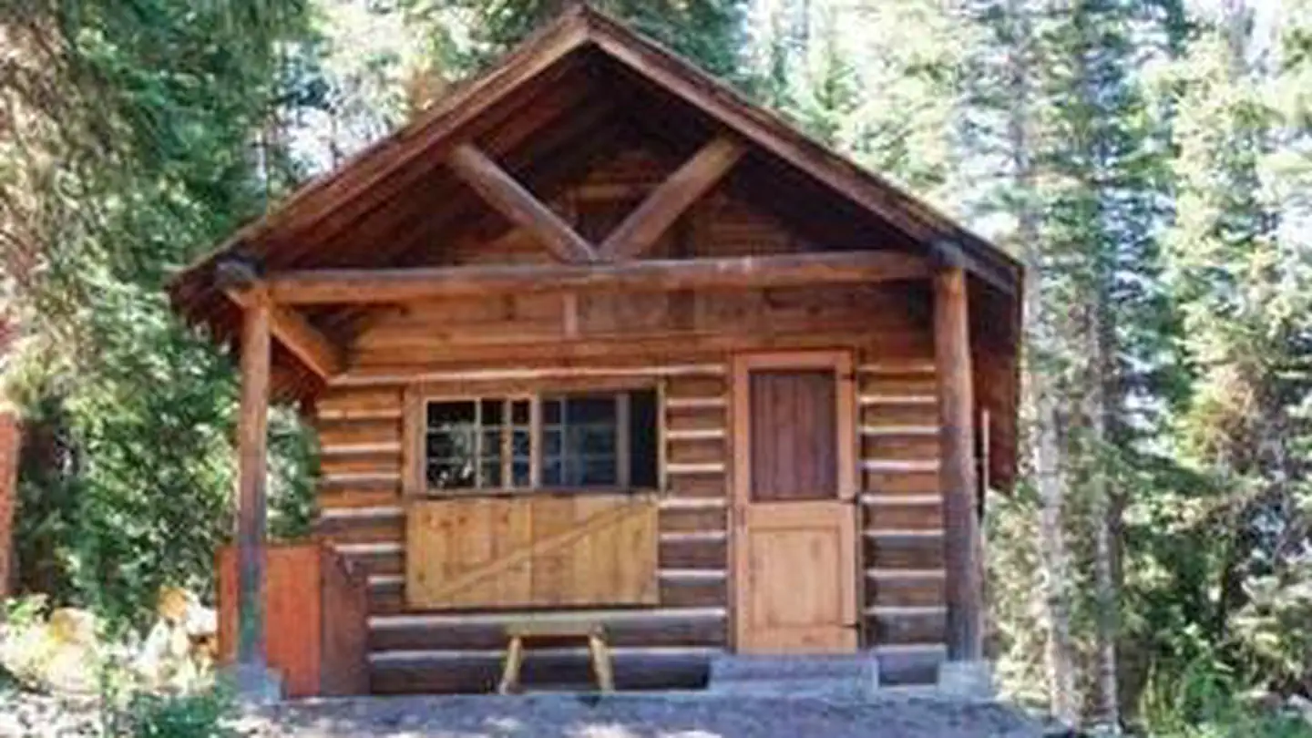
Piney Guard Station
About this campsite
Overview
Piney Guard Station is a rustic cabin that was constructed in the 1930s as a work station for Forest Service crews. This 14 by 22-ft. structure has a single room and is built from logs. It is open both summer and winter with spring and late fall closures.Recreation
The cabin is conveniently located in an area offering a variety of year-round recreational activities. The Forest Service road leading to the cabin is used by mountain bikers, hikers, snowshoers, cross-country skiers and snowmobilers. This area is popular for hunting big and small game, game birds and waterfowl.Facilities
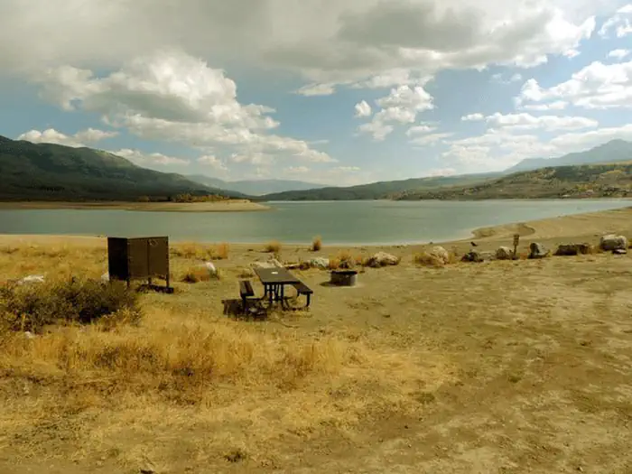
Piney Guard Station can sleep up to four people. It contains a bunk bed, two cots, storage cabinets, a table and benches, and a woodstove. Skillet, dishware and utensils are provided. A two burner stove and lantern are provided. These require 16.4-oz. propane cylinder bottles, which are not provided and are your responsibility. A picnic table and metal fire ring are just outside the cabin’s door. A vault toilet is located approximately 50 feet from the cabin. Guests can easily gather firewood around the cabin.No drinking water, electricity or trash service is available; guests must bring their own water and garbage bags to pack out trash. Guests should consider packing most items they would bring on a regular camping trip. Dogs are allowed, please pick up after them and do not leave them unattended in or around the cabin.
Natural Features
Piney Guard Station is located at 9,100 feet in the White River National Forest, Eagle/Holy Cross Ranger District, which is near Vail. The cabin is nestled in a forest dominated by aspen, spruce, pine and fir trees. Guests can enjoy views of the Gore Mountain Range from a meadow to the cabin’s north side.Local wildlife, including moose, may be spotted near the lake, which sits across the road from the cabin. The White River National Forest is also home to elk, bighorn sheep, mountain goats, mule deer, Canada lynx and black bear. Birders may see bald eagles, peregrine falcons, Barrow's golden-eye and black swifts.
Location
PINEY GUARD STATION•CO
Common questions about PINEY GUARD STATION
Can you book PINEY GUARD STATION online?
We hold no online booking link for PINEY GUARD STATION, so it is not bookable through this page. Many parks and showgrounds still require a booking, so contact the operator before you go. Their website or phone number is the fastest way to confirm a site.
Where is PINEY GUARD STATION?
PINEY GUARD STATION sits in CO. The map on this page shows the exact spot, and the coordinates travel straight into your navigation app. Check road conditions before you set out if you are towing, since access tracks can change with the weather.
Nearby Campsites
 12.6 km away
CO
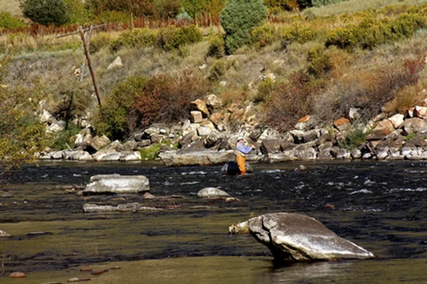
Wolcott Campground
Wolcott Campground is located along the Eagle River and is readily accessible from Interstate Highway 70. It is located just to the east of the scenic Red Canyon on Interstate 70. The Wolcott Campground and boat ramp are open May 15 - November 15 annually. There is no reservation system. Campsites are occupied on a first come, first serve basis. For more information, please contact the Colorado River Valley Field Office.
 21.6 km away
CO
Radium Recreation Area
Overview Managed By Kremmling Field Office The Radium Recreation Area is part of the Upper Colorado River Special Recreation Management Area (SRMA), providing opportunities for developed camping and river access. With over 100,000 annual visitors the sites facilities include 2 developed boat ramp sites, 9 vault toilets, day use and overnight parking, 16 single campsites and 2 Group Campsites and 3 day use shade structures. There is no potable water provided at this area. The area is used by visitors to access the river for floatboating and fishing opportunities. Recreation Recreation opportunities include river access for fishing and floatboating. On-site picnic shelters provide visitors with opportunities to a covered area for relaxing and picnicking. Note – Radium Warm Springs Access: There are no designated trails from this area and there is no designated access to the Radium Warm Springs. Parking is not permitted along the narrow Radium Road between the Radium Recreation Area and Trough Road to ensure safe passage of vehicles and ensure clear passage for Emergency Vehicles when needed. Please respect the social trail closures and restoration conducted on BLM managed lands along Radium Road that protect area wildlife habitat including area Big Horn Sheep. The Colorado Parks and Wildlife Mugrage Site along Radium Road, including the restroom and social trail that accessed the Radium Warm Springs within the Radium State Wildlife Area, is closed for the protection of this important habitat. The BLM is looking at a potential future designated and developed trail from the Radium Recreation Area. Until a trail alignment along Radium Road is developed it is recommended that the easiest and safest way to access the Radium Warm Springs from Radium Recreation Area is to drive to Warm Springs Road 1.5 northeast along Trough Road. Follow the directional sign located at the intersection of Radium Road and Trough Road. A parking area and trailhead at the end of Warm Springs Road provides access to the Radium Warm Springs via the Warm Springs Trail open to foot travel only, or the Ol’ Warm Springs Trail which is open to Foot, Horse, Bicycle and eBike travel. Facilities Each campsite must be reserved through Recreation.gov and has varying space for parking (see parking size limitations before completing your reservation), a picnic table, a fire ring, and close proximity to a vault toilet and trash receptacles. Campsites 1-4 are walk-in sites and have parking for one vehicle without a trailer. Campsites 5-13 have pull through parking areas and can typically fit one to two vehicles and small trailers. Campsites 14-16 have pull in parking and is 30 feet in length or less. Additional vehicles not fitting within a campsite's designated parking must park in the general parking areas. There are no electric hook-ups and cell service non-existent without a booster. There are two boat ramps with restrooms. Natural Features The Radium Recreation Area is adjacent to the Colorado River next to the small town of Radium. The scenery within the area is a major component to the adjacent Colorado Headwaters National Scenic and Historic Byway and are important features that make this stretch of river Wild and Scenic Eligible. Nearby Attractions The town of Kremmling, CO is approximately 20 miles east from Radium Recreation Area where visitors can get supplies. Rancho Del Rio – a private resort along the Colorado river, has a small store with supplies and is a river access point for those recreating on the river. Rancho Del Rio is located approximately 6 miles west along Trough
 24.0 km away
CO
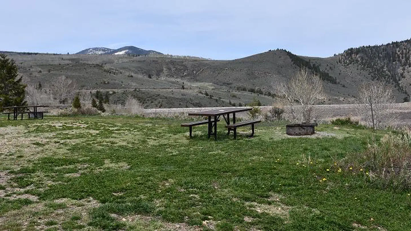
Elliott Creek Campground (CO)
Overview Elliott Creek Campground is located on the northwest side of Green Mountain Reservoir in White River National Forest. Sitting to the south of the dam offers an ideal setting for visitors seeking a multitude of recreational activities both on water and on land. Recreation Encompassing a landscape of rivers, mountains, trails and forest roads, the White River National Forest is one of the top recreation forests in the nation. Located on the shores of Green Mountain reservoir, Cow Creek Campground is a popular spot for boating, kayaking, fishing, water skiing and windsurfing. Anglers will find populations of rainbow and brown trout, as well as kokanee salmon when casting their lines out into the water. Spring Creek is a popular off-roading area located at the northern end of the Gore Mountain Range. A network of roads open to off-road vehicle use meanders through lodgepole pine and spruce/fir forests. Viewpoints of surrounding mountains open up along these roads. Facilities Elliott Creek Campground has 20 standard sites suitable for tents and smaller trailers. Vault toilets are provided. All motorized watercraft must be inspected for Aquatic Nuisance Species and must launch from a monitored launch ramp. The Heeney Marina below the Town of Heeney on the west shore is open during daylight hours throughout the season. Natural Features In the heart of the Rocky Mountains, the 2.3 million-acre White River National Forest is a place of serenity and adventure, boasting eight wilderness areas, four defined seasons and ten peaks surpassing 14,000 feet in elevation. The White River National Forest was established in 1891 as the White River Plateau Timber Reserve; the second such reserve to be named in the United States. In 1905, the newly formed Forest Service was given authority of the reserve. Long before this designation, the area was home to the Ute Indians who followed herds of elk and bison on their seasonal migrations. Wildlife in the area abounds. Bighorn sheep navigate rocky ridges and bull elk bugle at dusk. Scenic rivers sustain populations of cutthroat, rainbow and brown trout. Alpine regions provide habitat for pika and ptarmigan. Contact Info For facility specific information, please call (801) 226-3564. Nearby Attractions Take some time to visit Rocky Mountain National Park to learn about the diverse landscape and history of the area through interpretive programs and exhibits. In the summer visitors may want to traverse Trail Ridge Road from one side of the park to the other, reaching alpine vistas boasting elevations of more than 12,000 feet. Charges & Cancellations Once your reservation start date has begun, neither the Recreation.gov Contact Center nor the campground manager will be able to modify your reservation.
 26.0 km away
CO
Pumphouse Recreation Area
Overview Managed by Kremmling Field Office The Pumphouse Recreation Area is part of the Upper Colorado River Special Recreation Management Area (SRMA), providing opportunities for developed camping, river access and access to hiking trails. With over 100,000 annual visitors the sites facilities include 3 developed boat ramp sites, 12 vault toilets, day use and overnight parking, 18 Single Campsites and 2 Group Campsites. The campground has a seasonal potable water system that may be in operation between mid-April to mid-November (not available for trailer hookups or filling of Recreational Vehicle and Travel Trailer filling). Recreation Pumphouse Recreation Area is the most heavily used access point for the Upper Colorado River between Kremmling and State Bridge. Those floating downriver access calm flat water to Class III whitewater rapids. The Gore Canyon Whitewater Playpark is located just above Boat Ramp #2 and provides a manmade wave that is popular for kayakers, stand up paddle boarders and other small watercraft. It is also an exciting splash feature for watercraft coming downriver from Boat Ramp #1. Hiking opportunities accessed from the Pumphouse Recreation Area provide ample access for wade fishing and exploring along the Colorado River. The Gore Canyon Trail is open to foot travel only providing access upriver for 1.5 miles. Keep an eye out for the historic retaining walls holding the trail in place that early surveyors of Gore Canyon and homesteaders developed to access this area of the river for finding a railroad route and efforts to divert water for irrigation. The Gore Canyon Ranch Trail is open to foot travel only and provides access downriver for 1.25 miles connecting to the Gore Canyon Ranch Trailhead and Parking Area. This undeveloped area was the site of a homestead ranch and acquired by the BLM to improve and expand public recreation and access, provide educational opportunities on the area’s history, wildlife and responsible recreation opportunities and restore habitat for wildlife. The historic Argentine Trail is open to foot travel only and is accessed from the Gore Canyon Ranch Trail. This trail is not for the lighthearted as it has steep drop offs as much of the trails was blasted into the cliffs of Hartman Canyon allowing access for surveyors and mule trains. Those floating down stream can see this trail high up the canyon wall on river left. Facilities Each campsite must be reserved through Recreation.gov and has varying space for parking (see parking size limitations for each campsite before completing your reservation), a picnic table, a fire ring, and close proximity to a vault toilet and trash receptacles. For campsites 1-8, driveway parking is 35 feet or less in length and is back-in/pull-in. Additional vehicles may park along the roadway adjacent to the campsite if space allows or must park in the general parking areas. Camping within vehicles outside of the assigned campsite driveway is not permitted. Campsites 9-18 are parallel parking and typically have space for two vehicles and small trailers. Additional vehicles must park in the campground overflow parking across from Group Campsite A. Potable water may be available May - October. However, do not rely on this as the water source for your trip's needs as it is not always operational. There are no electric hook-ups and cell service is non-existent without a booster. There are three boat ramps with restrooms. Boat Ramp #2 adjacent to the Gore Canyon Whitewater Play Park is a boat slide with steps. Boat ramps have electricity. Natural Features The Pumphouse Recreation Area is adjacent to the Colorado River between Gore Canyon and Hartman Canyon. The scenery within the area is a
 26.1 km away
CO
Willows Campground (CO)
Overview Willows Campground is located on the north shore of Green Mountain Reservoir in White River National Forest, offering an ideal setting for visitors seeking a multitude of recreational activities both on water and on land. Recreation Encompassing a landscape of rivers, mountains, trails and forest roads, the White River National Forest is one of the top recreation forests in the nation. Located on the shores of Green Mountain reservoir, Cow Creek Campground is a popular spot for boating, kayaking, fishing, water skiing and windsurfing. Anglers will find populations of rainbow and brown trout, as well as kokanee salmon when casting their lines out into the water. Spring Creek is a popular off-roading area located at the northern end of the Gore Mountain Range. A network of roads open to off-road vehicle use meanders through lodgepole pine and spruce/fir forests. Viewpoints of surrounding mountains open up along these roads. Facilities Willows Campground has 21 standard sites suitable for tents, trailers and RVs. Vault toilets are provided. All motorized watercraft must be inspected for Aquatic Nuisance Species and must launch from a monitored launch ramp. The Heeney Marina below the Town of Heeney on the west shore is open during daylight hours throughout the season. Natural Features In the heart of the Rocky Mountains, the 2.3 million-acre White River National Forest is a place of serenity and adventure, boasting eight wilderness areas, four defined seasons and ten peaks surpassing 14,000 feet in elevation. The White River National Forest was established in 1891 as the White River Plateau Timber Reserve; the second such reserve to be named in the United States. In 1905, the newly formed Forest Service was given authority of the reserve. Long before this designation, the area was home to the Ute Indians who followed herds of elk and bison on their seasonal migrations. Wildlife in the area abounds. Bighorn sheep navigate rocky ridges and bull elk bugle at dusk. Scenic rivers sustain populations of cutthroat, rainbow and brown trout. Alpine regions provide habitat for pika and ptarmigan. Contact Info For facility specific information, please call (801) 226-3564. Nearby Attractions Take some time to visit Rocky Mountain National Park to learn about the diverse landscape and history of the area through interpretive programs and exhibits. In the summer visitors may want to traverse Trail Ridge Road from one side of the park to the other, reaching alpine vistas boasting elevations of more than 12,000 feet. Charges & Cancellations Once your reservation start date has begun, neither the Recreation.gov Contact Center nor the campground manager will be able to modify your reservation.
 Britz HiTopCampervan
 Maui UltimaCampervan
 Jucy CoasterCampervan
Hitting the road? Rent the rig, not just the gear.
Compare live prices across Britz, Maui, Apollo, Jucy & more — campervans and motorhomes, one-way hires included.
Compare & bookPlan your visit
Save it, check the weather, map your route
Nearby Fuel
Campsite Explorer
Find Your Next Campsite
Share Your Experience
Help fellow campers by sharing your photos and reviews.
Own This Campsite?
Claim your listing to manage information, respond to reviews, and update details.