Fruita Campground
Fruita Campground
About this campsite
Overview
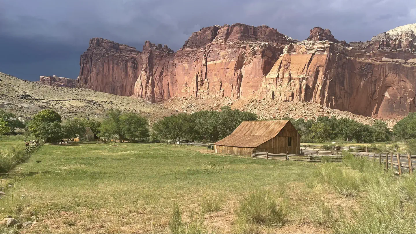
Located in south-central Utah in the heart of red rock country, Capitol Reef National Park is a hidden treasure filled with cliffs, canyons, domes and bridges in the Waterpocket Fold, a geologic monocline (a wrinkle on the earth) extending almost 100 miles (160 km). The Fruita Campground has 71 sites. 65 sites are reservable year round- there are no longer first come, first serve sites any time of year. Sites 1, 2, 3, 6, 7 and 8 are used as administrative sites. Sites 14, 24, and 63 are accessible sites with electrical hookups. From March 1 through Thanksgiving weekend, generators are only permitted in Loop C during generator hours. The remainder of the year, generators are allowed in Loops A and B during generator hours.
Recreation
Walk to historic inscriptions on the Capitol Gorge Trail and stroll the Goosenecks Trail or longer trails such as Cohab Canyon, Chimney Rock, and Cassidy Arch. Check out our Trail Guide to explore your options. Enjoy the geology and view the Fremont Culture Petroglyphs along Hwy 24. In addition, the Scenic Drive will introduce you to the fascinating cultural and geological history of Capitol Reef National Park. The drive includes a portion of the original road through the Waterpocket Fold. The road passes through parts of the Fruita Historic District and follows the western faces of the Waterpocket Fold, and spur roads allow exploration into beautiful Grand Wash and Capitol Gorge.
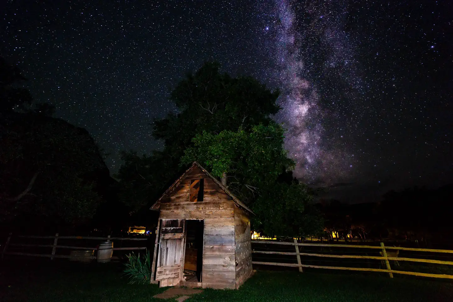
Check at the Visitor Center for a current schedule of interpretive programs, which may include geology talks, Fremont culture talks, evening programs, star gazing, moonwalks, and geology hikes.
Wander through the historic Fruita Orchards and pick fresh fruit when in season. The orchards contain approximately 3,100 trees including cherry, apricot, peach, pear, apple, plum, mulberry, almond, and walnut.
Discover Mormon pioneer history at the historic Gifford Homestead store and museum.
Facilities
The Fruita Campground has 71 sites. 65 sites are reservable year round. Sites 1, 2, 3, 6, 7 and 8 are used as administrative sites. Each site has a picnic table and fire ring (except sites 7, 48 and 50, which only have an above ground grill). There is a RV dump and potable water fill station near the entrance to Loops A and B. Restrooms have running water and flush toilets, but no showers.
Accessible campsites are located adjacent to restrooms.
Campsites have no individual water or sewage hookups. There are no electrical hookups (except accessible sites 14, 24, and 63). Electrical hookups at these sites are for required medical devices only.
There are no first-come, first-served sites during reservation season. A Fruita Campground map (PDF) is available on the park website.
Natural Features
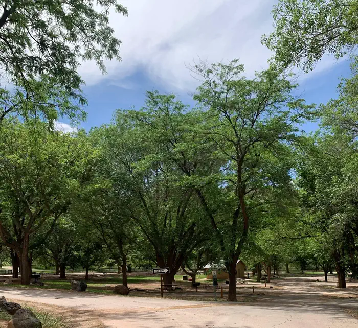
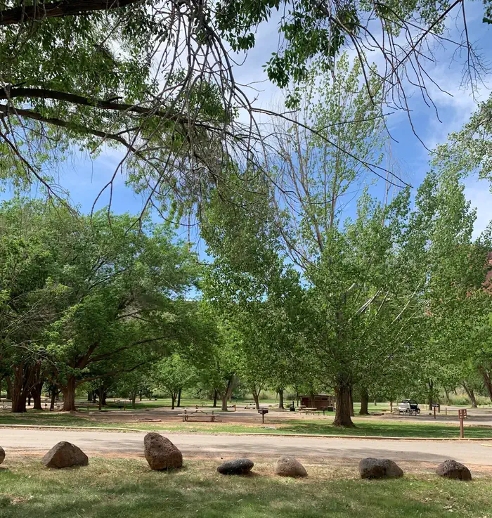
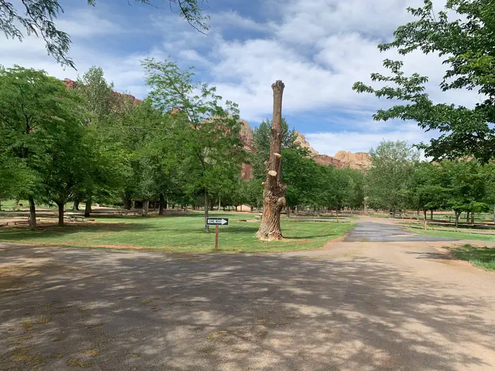
The Fruita Campground area is located one mile south of the visitor center and is often described as an oasis within the desert. Fruita Campground is a semi-shaded, grassy campground and is located in the Fruita Historic District of the park.Nearby Attractions
The Fruita campground is adjacent to the Fremont River and is a short walk from the group site, amphitheaLocation
FRUITA CAMPGROUND•UT
Weather Forecast
via Open-MeteoNearby Campsites
 500m away
UT
Capitol Reef Group Campground
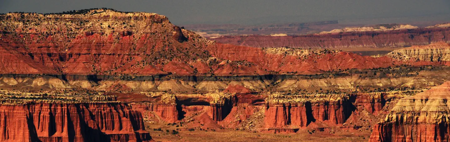
Overview Located in south-central Utah in the heart of red rock country, Capitol Reef National Park is a hidden treasure filled with cliffs, canyons, domes and bridges in the Waterpocket Fold, a geologic monocline (a wrinkle on the earth) extending almost 100 miles (160 km). The Fruita Campground area is located one mile south of the visitor center and is often described as an oasis within the desert. The Group Campsite is near Loop C of the Fruita Campground. It is a semi-shaded, grassy campsite and is located in the Fruita Historic District of the park. Recreation Walk to historic inscriptions on the Capitol Gorge Trail and stroll the Goosenecks Trail. Visitors looking for longer trails can visit our Trail Guide and perhaps explore Cohab Canyon, Chimney Rock, and Cassidy Arch. Enjoy the geology and view the Fremont Culture Petroglyphs along Hwy 24. In addition, the Scenic Drive will introduce you to the fascinating cultural and geological history of Capitol Reef National Park. The drive includes a portion of the original road through the Waterpocket Fold. The road passes through parts of the Fruita Historic District and follows the western faces of the Waterpocket Fold, and spur roads allow exploration into beautiful Grand Wash and Capitol Gorge. Check at the Visitor Center for a current schedule of interpretive programs, which may include geology talks, Fremont culture talks, evening programs, star gazing, moonwalks, and geology hikes. Stop in at Ripple Rock Nature Center to experience interactive exhibits, games, activities, and free educational programs. Wander through the historic Fruita Orchards and pick fresh fruit when in season. The orchards contain approximately 3,100 trees including cherry, apricot, peach, pear, apple, plum, mulberry, almond, and walnut. Discover Mormon pioneer history at the historic Gifford Homestead store and museum. Facilities Sheltered picnic areas are provided at the group campsite and there is a large grassy area for tents and activities. Campers will enjoy the fire pit for relaxing evenings around the campfire and the above-ground grill for cooking. Amenities also include restrooms with flush toilets, a utility sink, drinking fountain and potable water faucets centrally located. There is no electricity available. Natural Features At Fruita Group site, large deciduous trees provide a shaded setting among beautiful and striking red rock cliffs. The group site sits adjacent to the Fremont River at approximately 5,500 feet (1676 m) elevation and is surrounded by unique historic orchards. Nearby, the Waterpocket Fold defines Capitol Reef National Park. The varied topography, geology, elevations, and precipitation patterns along the fold have resulted in a diversity of microhabitats and niches for plant species to inhabit. Seventeen geologic formations are exposed within the Waterpocket Fold, each with unique combinations of minerals, soil types, aspect and slope. Contact Info Fo
 15.2 km away
UT
SINGLETREE
Overview Singletree Campground is located on the east side of Boulder Mountain in central Utah. Visitors enjoy hiking and sightseeing in this beautiful area. View Singletree Campground Map Recreation A one-mile hiking trail begins within the campground, leading to Singletree Falls. The trail follows Singletree Creek and offers sweeping views of the red rock desert landscape below. Horseshoe pits and a volleyball court are located near the group sites, offering additional activities. Facilities This campground contains several single-family sites and two group sites. Flush toilets, drinking water and a dump station are provided. Roads and parking spurs are paved. Wireless internet is available for $5. Natural Features The campground is situated at an elevation of 8,200 feet in a scenic ponderosa pine and aspen forest. Summer wildflowers are abundant and autumn leaves put on a spectacular show. Beautiful open vistas of Capitol Reef National Park and the Henry Mountains can be viewed from within the campground. Nearby Attractions Capitol Reef National Park is approximately 20 miles from Singletree. This unique park offers excellent hiking trails, historic sites, scenic driving and breathtaking scenery. Sightseeing along Utah Highway 12, a National Scenic Byway, is very popular. Visitors enjoy the stunning red rock canyons and desert landscapes.
 19.8 km away
UT
LOWER BOWNS
Overview Lower Bowns Campground is located on the east side of Boulder Mountain on the shore of Lower Bowns Reservoir at an elevation of 7,000 feet. Visitors enjoy boating, fishing and exploring local trails. View Lower Bowns Campground Map Recreation Popular activities in the area include hiking, biking, hunting and riding the Rosebud ATV Trail. Lower Bowns Reservoir offers boating, canoeing and fishing for rainbow, brook and cutthroat trout. Facilities This campground contains three accessible sites: one group site can accommodate up to 50 people, and two single sites can each accommodate up to 10 people. Vault toilets are provided, and roads and parking spurs throughout the site are gravel. Natural Features The campground is sparsely forested with pinyon pines and juniper, which offer only limited shade. Boulder Mountain lies to the west of the site, and Capitol Reef National Park's Waterpocket Fold and the Henry Mountains lie to the east. Nearby Attractions Capitol Reef National Park is just 45 minutes from the campground. This unique park offers excellent hiking trails, historic sites and breathtaking scenery. Sightseeing along Utah Highway 12, a National Scenic Byway, is very popular. Travelers visit from every corner of the world to gaze upon stunning red rock canyons and desert landscapes.
 21.4 km away
UT
ROSEBUD ATV
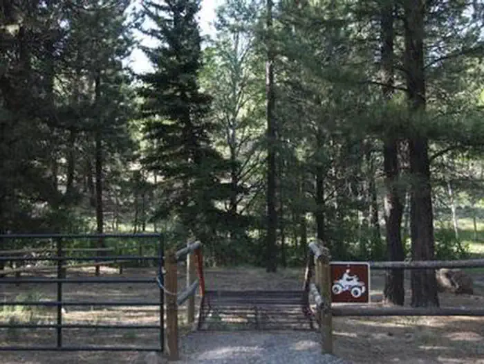
Overview Rosebud ATV Campground is located high on the Colorado Plateau at an elevation of 8300 feet. Torrey, Utah is just 17 miles northwest. Visitors enjoy exploring miles of local ATV trails. View Rosebud ATV Campground Map Recreation Rosebud is a haven for off-road vehicle enthusiasts. It is adjacent to the Rosebud ATV Trail, which leads to Lower Bowns Reservoir, offering fishing and boating opportunities. Facilities The campground contains two sites for groups of up to 20 people each, and vault toilets are provided. Natural Features The campground is situated in a scenic ponderosa pine forest on the east side of Boulder Mountain. Pleasant Creek flows next to the site. Nearby Attractions Capitol Reef National Park is approximately 30 miles from Rosebud. This unique park offers excellent hiking trails, historic sites, scenic driving and breathtaking scenery. Sightseeing along Utah Highway 12, a National Scenic Byway, is very popular. Travelers visit from every corner of the world to gaze upon stunning red rock canyons and desert landscapes.
 21.5 km away
UT
Upper Pleasant Creek Campground
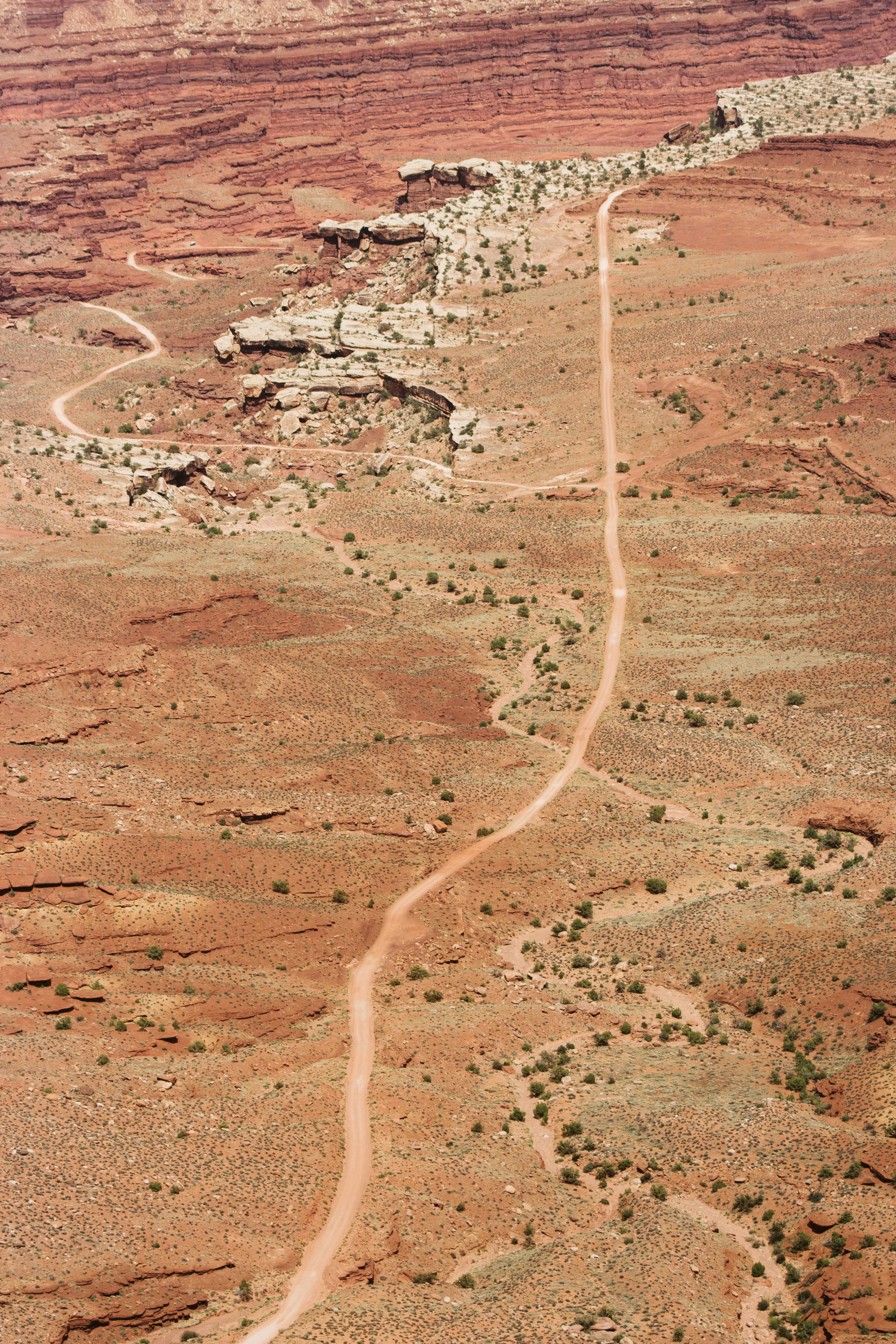
This is a favorite for campers. There is trout fishing nearby at Lower Bowns Reservoir and Lower Pleasant Creek. RVs over 25 feet long are not advised.
 Britz HiTopCampervan
 Maui UltimaCampervan
 Jucy CoasterCampervan
Hitting the road? Rent the rig, not just the gear.
Compare live prices across Britz, Maui, Apollo, Jucy & more — campervans and motorhomes, one-way hires included.
Compare & bookPlan your visit
Save it, check the weather, map your route
Nearby Fuel
Campsite Explorer
Find Your Next Campsite
Share Your Experience
Help fellow campers by sharing your photos and reviews.
Own This Campsite?
Claim your listing to manage information, respond to reviews, and update details.
FRUITA CAMPGROUND