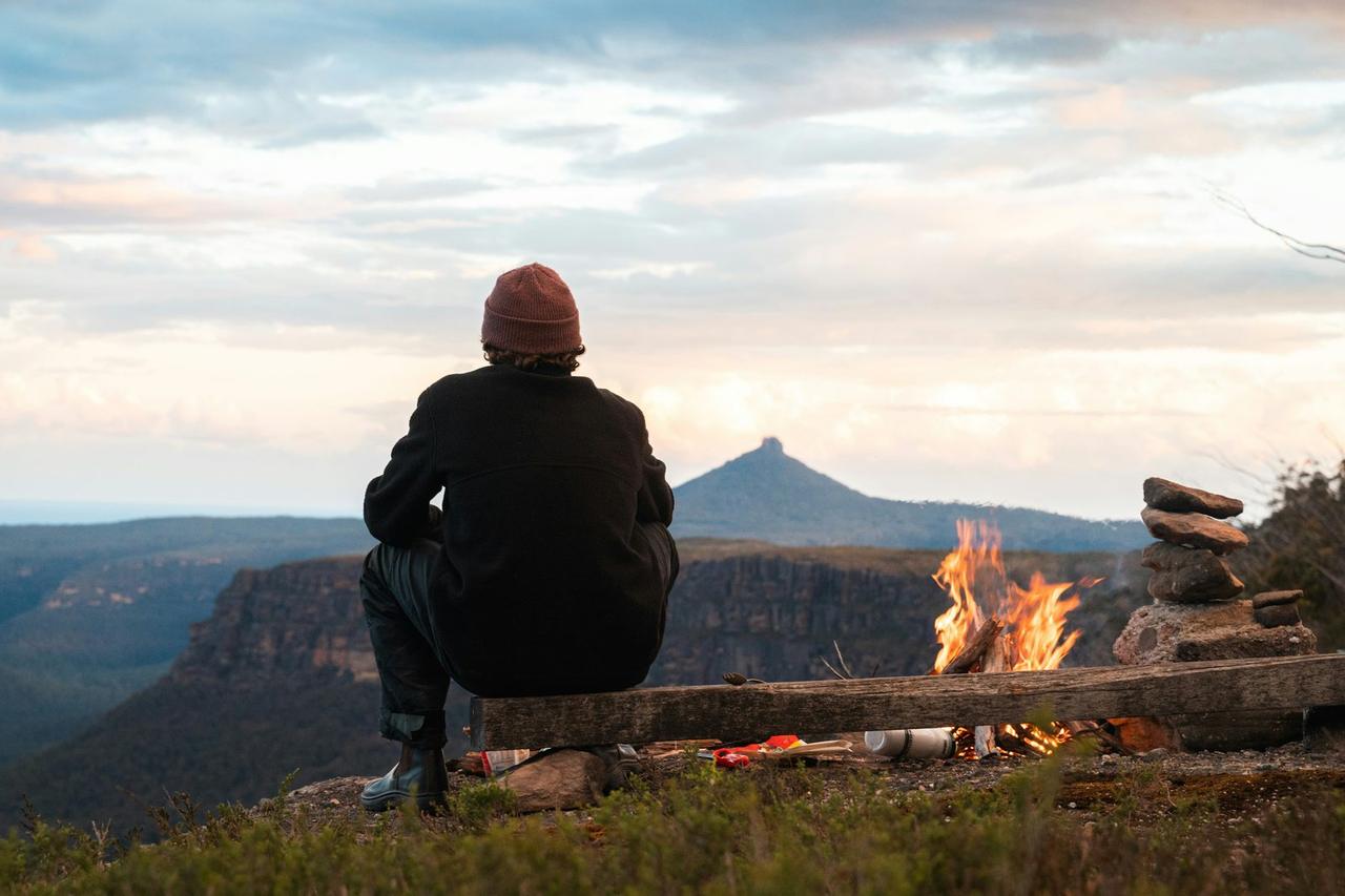
Colorado River Camp
Colorado River Camp
About this campsite
Location
Colorado River Camp•CO
Weather Forecast
via Open-MeteoNearby Campsites
 12.9 km away
CO
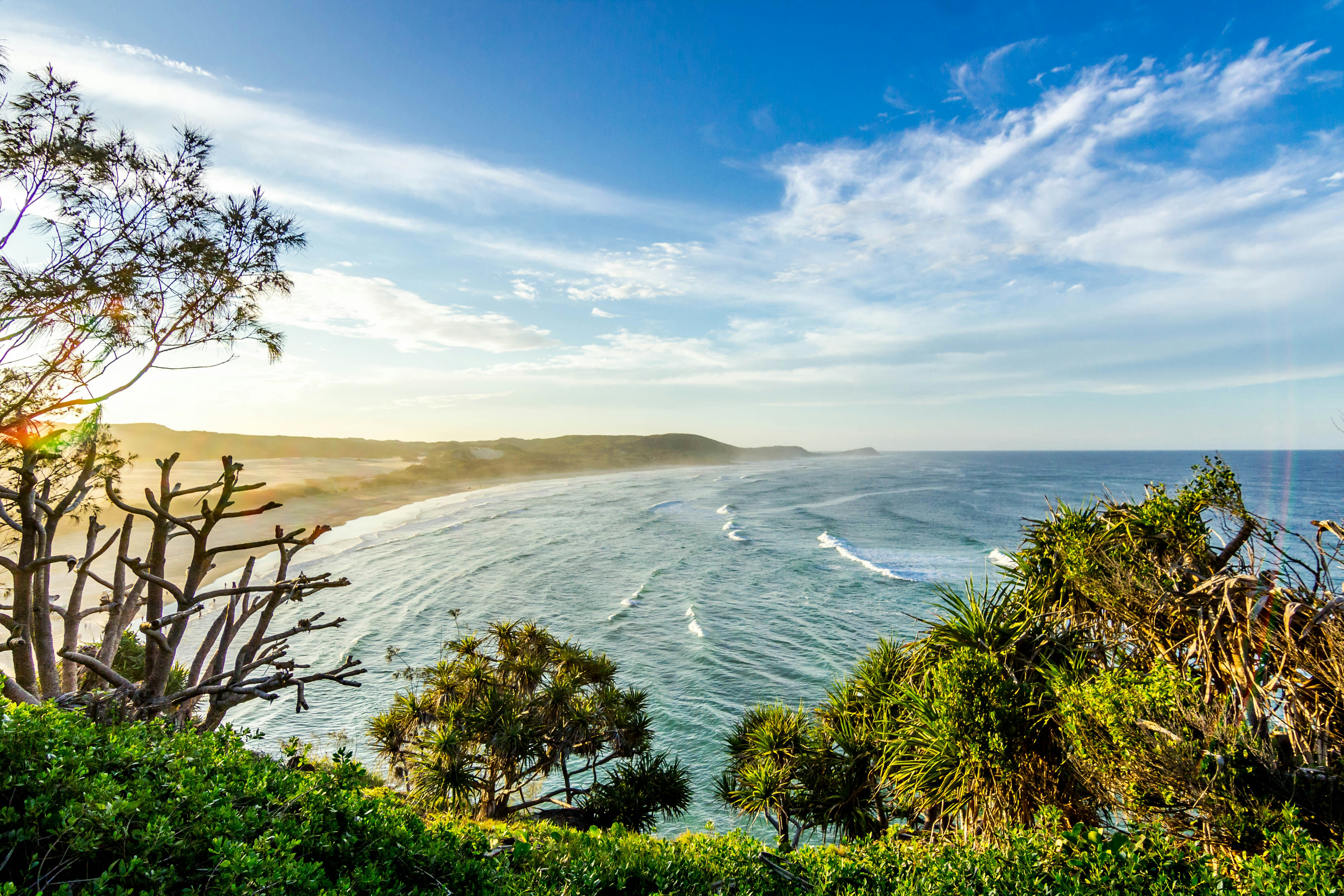
Derby Loop Camp
Campground: Derby Loop Camp.
 23.1 km away
CO
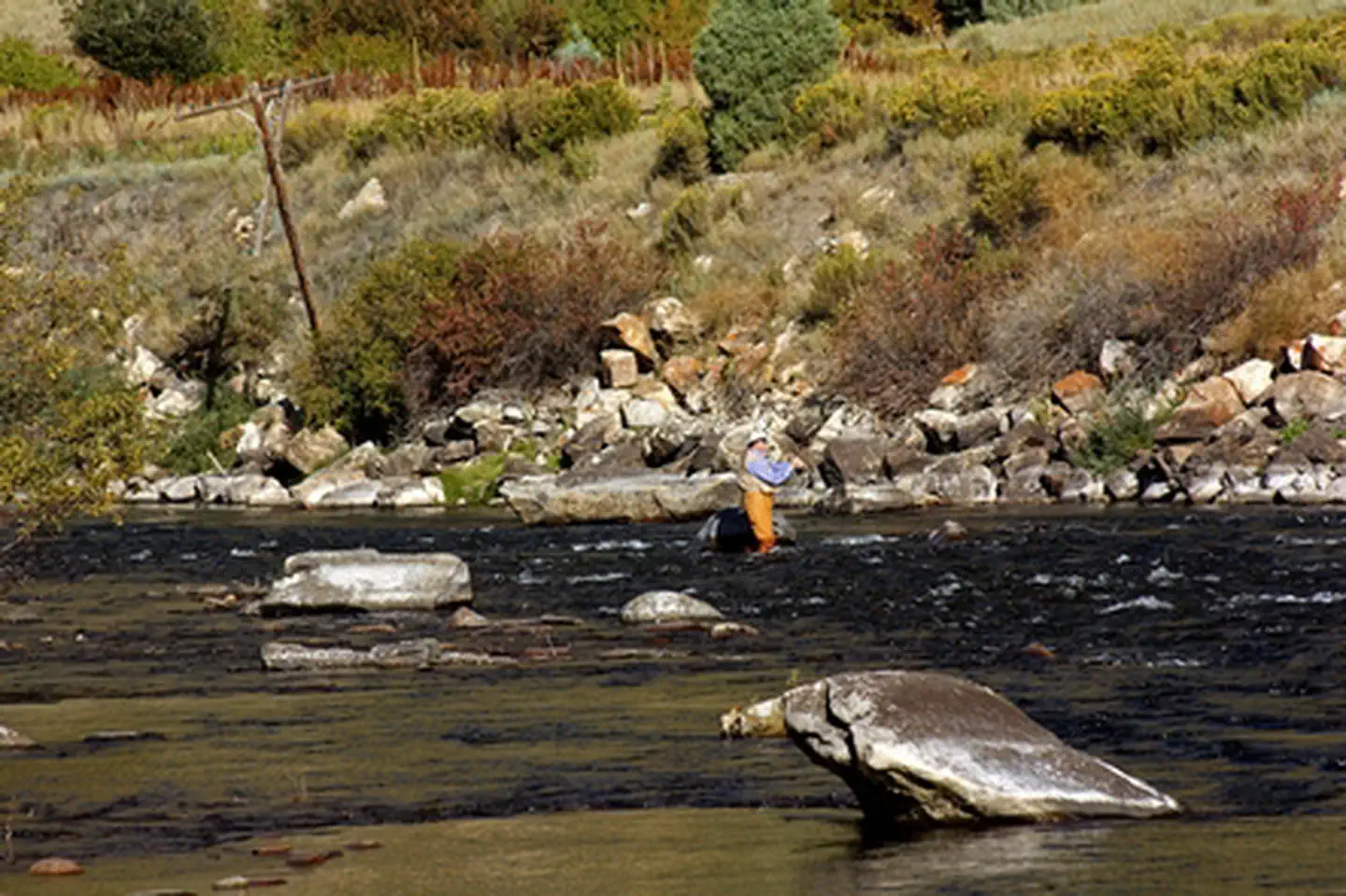
Wolcott Campground
Wolcott Campground is located along the Eagle River and is readily accessible from Interstate Highway 70. It is located just to the east of the scenic Red Canyon on Interstate 70. The Wolcott Campground and boat ramp are open May 15 - November 15 annually. There is no reservation system. Campsites are occupied on a first come, first serve basis. For more information, please contact the Colorado River Valley Field Office.
 24.6 km away
CO
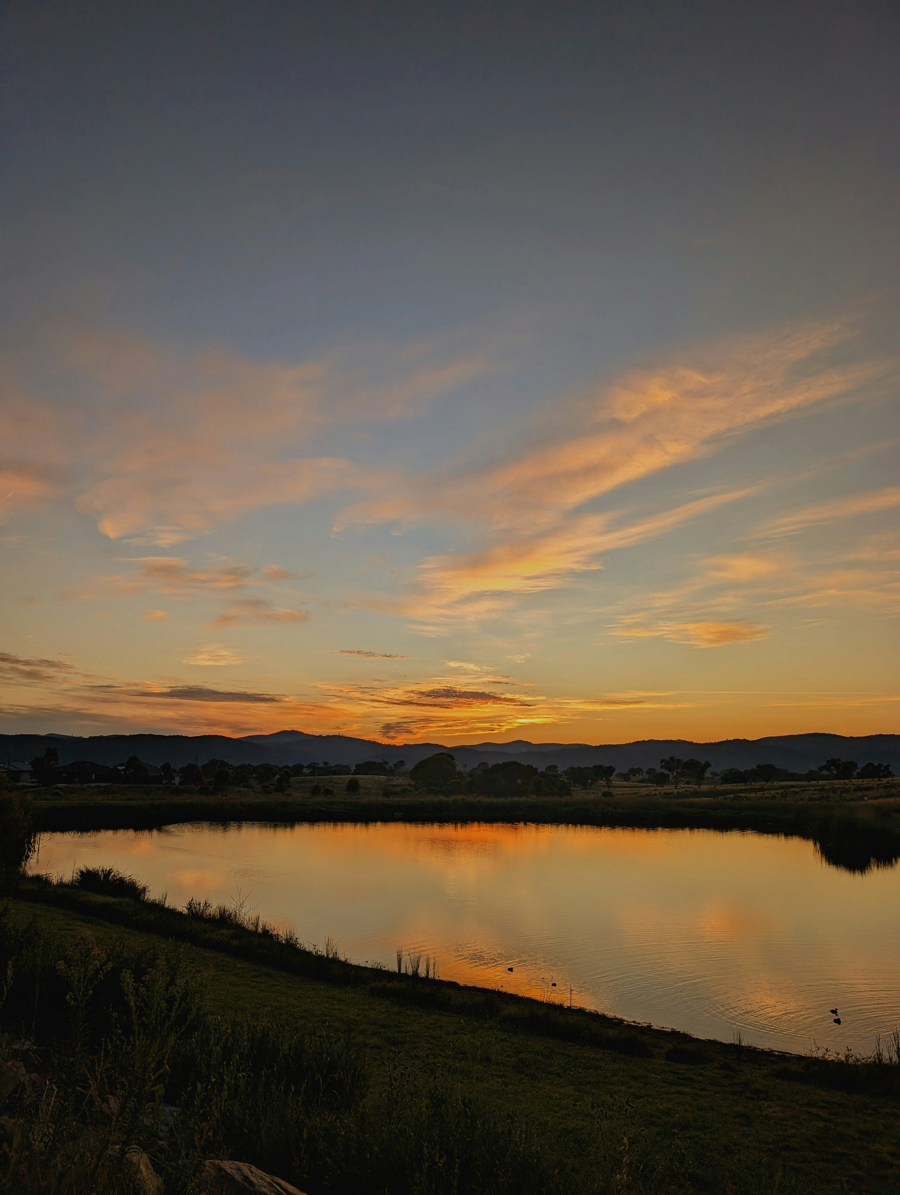
Radium Recreation Area
Overview Managed By Kremmling Field Office The Radium Recreation Area is part of the Upper Colorado River Special Recreation Management Area (SRMA), providing opportunities for developed camping and river access. With over 100,000 annual visitors the sites facilities include 2 developed boat ramp sites, 9 vault toilets, day use and overnight parking, 16 single campsites and 2 Group Campsites and 3 day use shade structures. There is no potable water provided at this area. The area is used by visitors to access the river for floatboating and fishing opportunities. Recreation Recreation opportunities include river access for fishing and floatboating. On-site picnic shelters provide visitors with opportunities to a covered area for relaxing and picnicking. Note – Radium Warm Springs Access: There are no designated trails from this area and there is no designated access to the Radium Warm Springs. Parking is not permitted along the narrow Radium Road between the Radium Recreation Area and Trough Road to ensure safe passage of vehicles and ensure clear passage for Emergency Vehicles when needed. Please respect the social trail closures and restoration conducted on BLM managed lands along Radium Road that protect area wildlife habitat including area Big Horn Sheep. The Colorado Parks and Wildlife Mugrage Site along Radium Road, including the restroom and social trail that accessed the Radium Warm Springs within the Radium State Wildlife Area, is closed for the protection of this important habitat. The BLM is looking at a potential future designated and developed trail from the Radium Recreation Area. Until a trail alignment along Radium Road is developed it is recommended that the easiest and safest way to access the Radium Warm Springs from Radium Recreation Area is to drive to Warm Springs Road 1.5 northeast along Trough Road. Follow the directional sign located at the intersection of Radium Road and Trough Road. A parking area and trailhead at the end of Warm Springs Road provides access to the Radium Warm Springs via the Warm Springs Trail open to foot travel only, or the Ol’ Warm Springs Trail which is open to Foot, Horse, Bicycle and eBike travel. Facilities Each campsite must be reserved through Recreation.gov and has varying space for parking (see parking size limitations before completing your reservation), a picnic table, a fire ring, and close proximity to a vault toilet and trash receptacles. Campsites 1-4 are walk-in sites and have parking for one vehicle without a trailer. Campsites 5-13 have pull through parking areas and can typically fit one to two vehicles and small trailers. Campsites 14-16 have pull in parking and is 30 feet in length or less. Additional vehicles not fitting within a campsite's designated parking must park in the general parking areas. There are no electric hook-ups and cell service non-existent without a booster. There are two boat ramps with restrooms. Natural Features The Radium Recreation Area is adjacent to the Colorado River next to the small town of Radium. The scenery within the area is a major component to the adjacent Colorado Headwaters National Scenic and Historic Byway and are important features that make this stretch of river Wild and Scenic Eligible. Nearby Attractions The town of Kremmling, CO is approximately 20 miles east from Radium Recreation Area where visitors can get supplies. Rancho Del Rio – a private resort along the Colorado river, has a small store with supplies and is a river access point for those recreating on the river. Rancho Del Rio is located approximately 6 miles west along Trough
 27.1 km away
CO
Lynx Pass Campground
DESCRIPTION: Located in the Gore Pass area on the Routt National Forest. Lynx Pass campground is a small campground hosting 11 sites and can be found on Forest Service Road 270 between the towns of Kremmling, CO and Yampa, CO (off HWY 134) The Lynx Pass Campground and surrounding area offers outdoor enthusiasts an opportunity to enjoy the simple pleasure of being outside. The campground is surrounded in lodgepole pine offering mostly shade, with a secluded, natural and primitive feel and can accommodate tents, campers, and trailers. This campground is popular for big game hunting in the fall. Max Length for campers/trailers: 18 feet Amenities: Picnic table at each site Fire grate at each site Potable water Trash service 1 vault toilet Several trailheads nearby Elevation & Weather: At 8,989 ft, campers can expect cold evenings and cool mornings even during the warm summer months and snow-covered sites into the 2nd week of June. Recreation Opportunities at Lynx Pass: Mountain biking: Tepee Creek Trail #1173 , Morrison Divide (Muddy Slide) Trail #1174 E-Biking (allowed on motorized trails and roads ONLY): Morrison Divide (Muddy Slide) Trail #1174 ATV Trail: Morrison Divide (Muddy Slide) Trail #1174 (usda.gov) PLEASE NOTE: Trail is narrow and ALL ATVS MUST BE UNDER 50” in width . Violators will be fined. ATV's MUST BE TRAILERED FROM THE CAMPGROUND TO THE TRAILHEAD. Hiking trails (30-minute drive to the Sarvis Creek Wilderness Area near Stagecoach Reservoir): Sarvis Creek Wilderness Fishing is popular at Lagunita Lake just a short walk from the campground. Other Recreation Areas Nearby: 3.5 miles - Rock Creek Recreation Area 6 miles - Blacktail Creek Campground Red Dirt Reservoir and dispersed camping recreation area Closest Towns: Toponas, CO Yampa, CO Kremmling, CO Directions: Lynx Pass Campground can be accessed on its northern end via County Road 16 from Stagecoach State Park/Oak Creek, and from the southern end via State Highway 134. State Highway 134 can be accessed from either HWY 40 (Kremmling, CO) or from Steamboat Springs or Yampa, CO via HWY 131.
 27.6 km away
CO
PINEY GUARD STATION
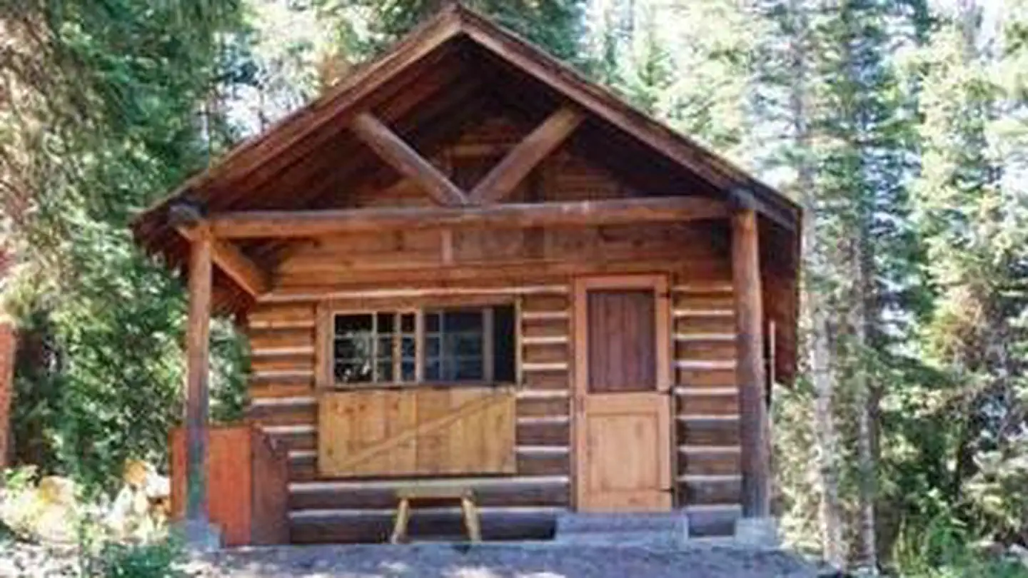
Overview Piney Guard Station is a rustic cabin that was constructed in the 1930s as a work station for Forest Service crews. This 14 by 22-ft. structure has a single room and is built from logs. It is open both summer and winter with spring and late fall closures. Recreation The cabin is conveniently located in an area offering a variety of year-round recreational activities. The Forest Service road leading to the cabin is used by mountain bikers, hikers, snowshoers, cross-country skiers and snowmobilers. This area is popular for hunting big and small game, game birds and waterfowl. Facilities Piney Guard Station can sleep up to four people. It contains a bunk bed, two cots, storage cabinets, a table and benches, and a woodstove. Skillet, dishware and utensils are provided. A two burner stove and lantern are provided. These require 16.4-oz. propane cylinder bottles, which are not provided and are your responsibility. A picnic table and metal fire ring are just outside the cabin’s door. A vault toilet is located approximately 50 feet from the cabin. Guests can easily gather firewood around the cabin. No drinking water, electricity or trash service is available; guests must bring their own water and garbage bags to pack out trash. Guests should consider packing most items they would bring on a regular camping trip. Dogs are allowed, please pick up after them and do not leave them unattended in or around the cabin. Natural Features Piney Guard Station is located at 9,100 feet in the White River National Forest, Eagle/Holy Cross Ranger District, which is near Vail. The cabin is nestled in a forest dominated by aspen, spruce, pine and fir trees. Guests can enjoy views of the Gore Mountain Range from a meadow to the cabin’s north side. Local wildlife, including moose, may be spotted near the lake, which sits across the road from the cabin. The White River National Forest is also home to elk, bighorn sheep, mountain goats, mule deer, Canada lynx and black bear. Birders may see bald eagles, peregrine falcons, Barrow's golden-eye and black swifts.
 Britz HiTopCampervan
 Maui UltimaCampervan
 Jucy CoasterCampervan
Hitting the road? Rent the rig, not just the gear.
Compare live prices across Britz, Maui, Apollo, Jucy & more — campervans and motorhomes, one-way hires included.
Compare & bookPlan your visit
Save it, check the weather, map your route
Nearby Fuel
Campsite Explorer
Find Your Next Campsite
Share Your Experience
Help fellow campers by sharing your photos and reviews.
Own This Campsite?
Claim your listing to manage information, respond to reviews, and update details.
Colorado River Camp