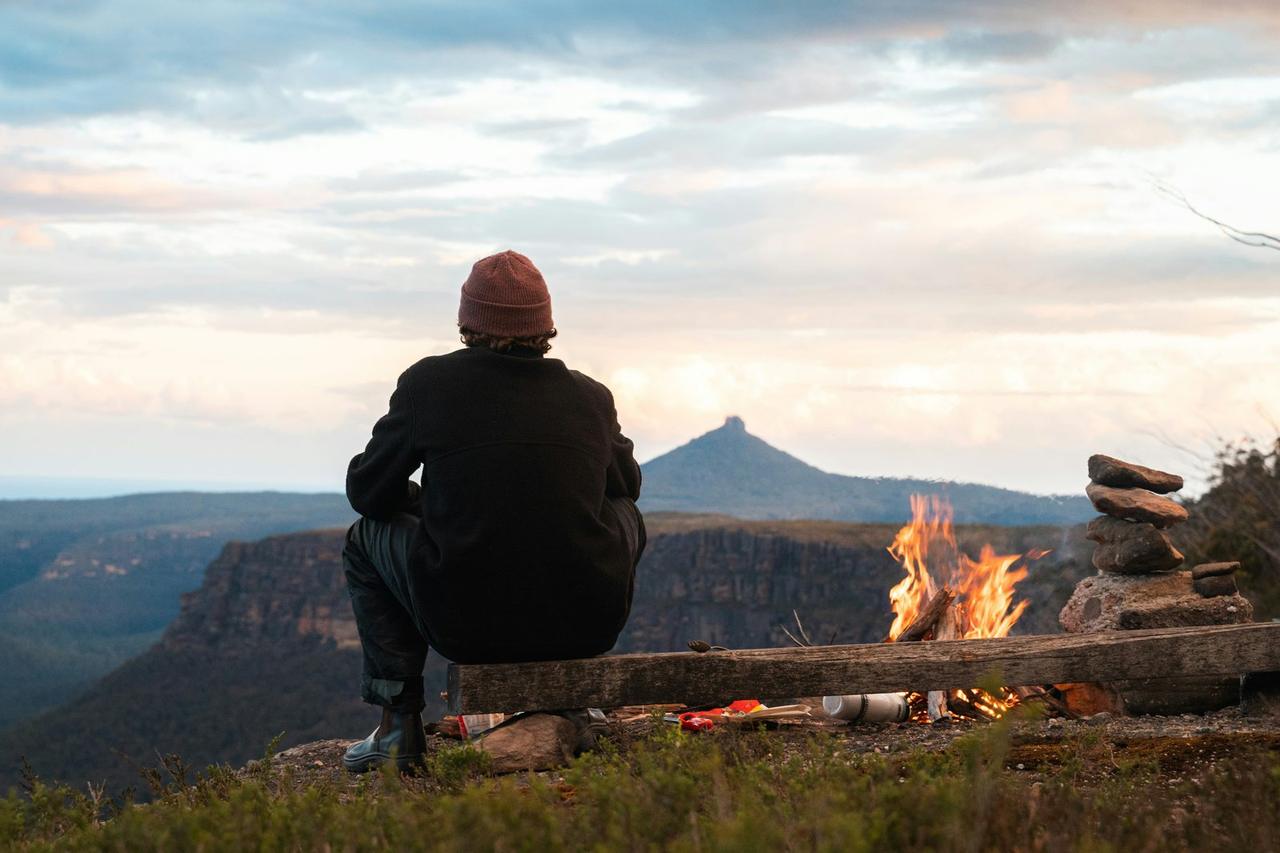
Blunden Harbour (BCMT)
Blunden Harbour (BCMT)
About this campsite
What this place offers
Accommodation Types
Location
Blunden Harbour (BCMT)•BC
Weather Forecast
via Open-MeteoCommon questions about Blunden Harbour (BCMT)
What facilities does Blunden Harbour (BCMT) have?
Blunden Harbour (BCMT) has backcountry. Facilities at camps change, particularly after a wet season, so check the operator or the managing authority if one of them decides your trip. The list comes from the site record rather than a visit, so treat it as a guide.
Can you book Blunden Harbour (BCMT) online?
We hold no online booking link for Blunden Harbour (BCMT), so it is not bookable through this page. Many parks and showgrounds still require a booking, so contact the operator before you go. Their website or phone number is the fastest way to confirm a site.
Where is Blunden Harbour (BCMT)?
Blunden Harbour (BCMT) sits in BC. The map on this page shows the exact spot, and the coordinates travel straight into your navigation app. Check road conditions before you set out if you are towing, since access tracks can change with the weather.
Facilities at Blunden Harbour (BCMT)
| Facility | On site |
|---|---|
| Backcountry | Yes |
Nearby Campsites
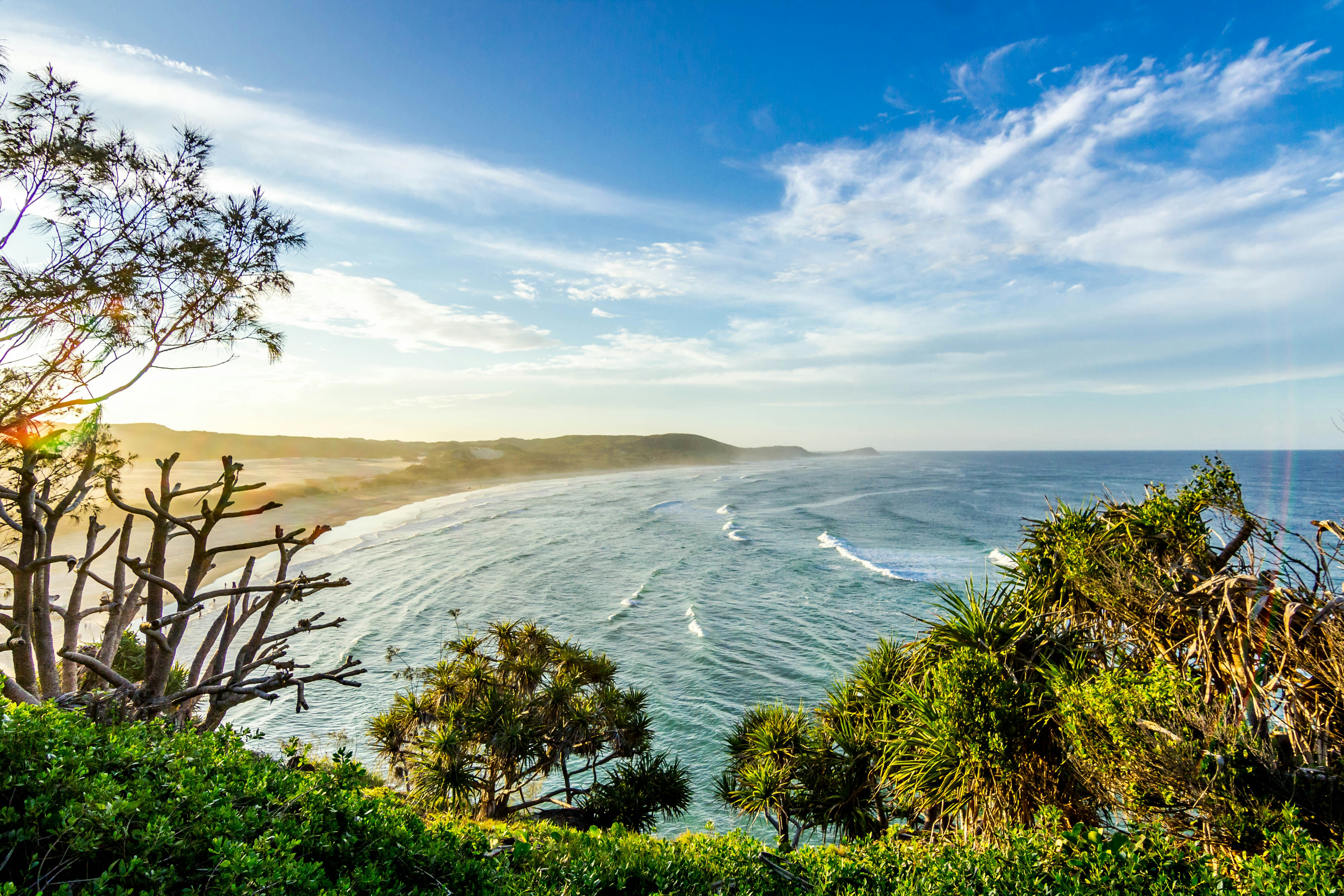 700m away
BC
Robinson Pass Low Tide
Potential camp site at low tide levels up to maybe 4.2m. Views to strait. Sand / mud / gravel beach on NE side, rocks on SW. Entrance to harbor passable at high tides, perhaps 4.5m+.
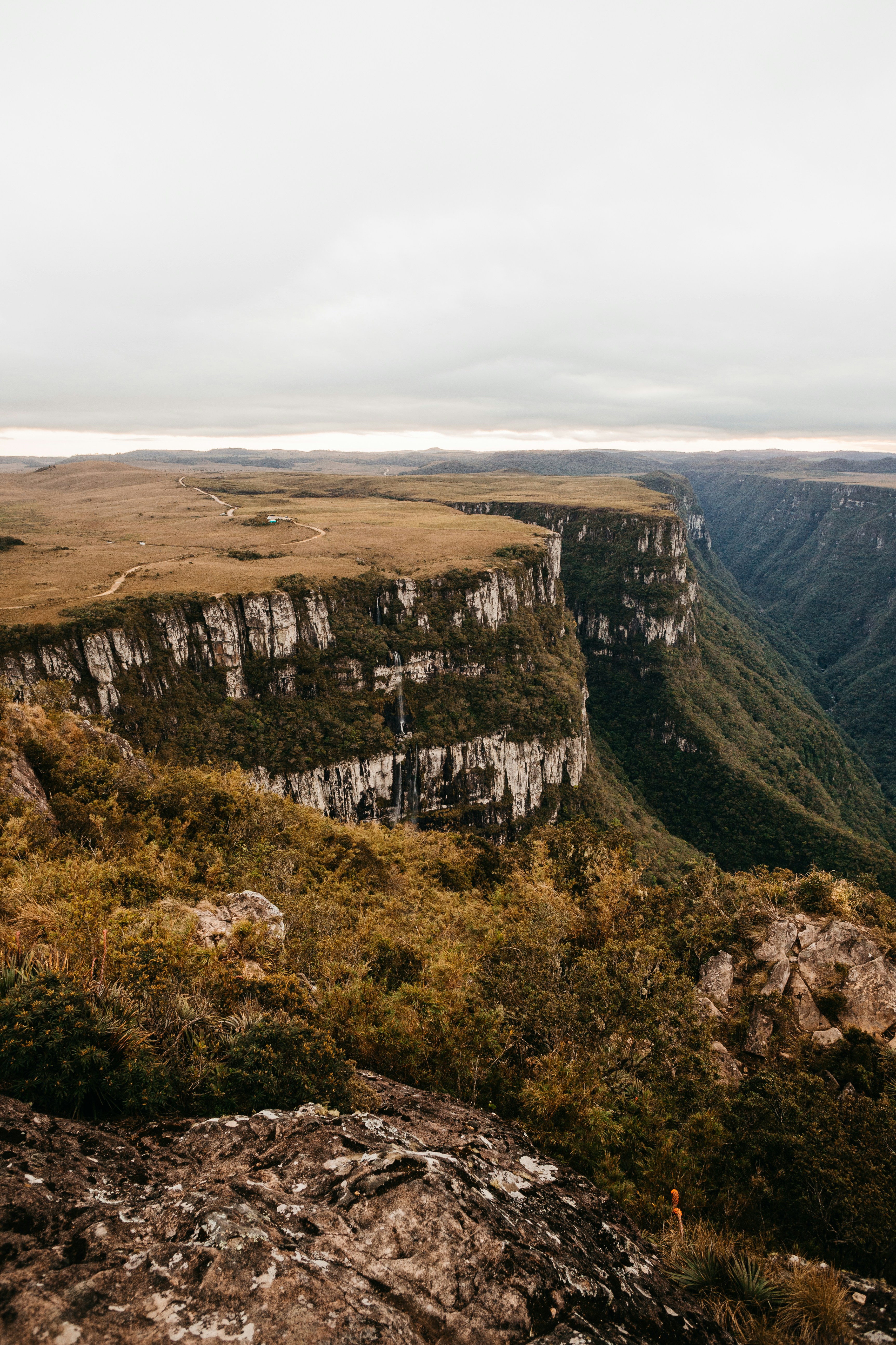 14.8 km away
BC
Shelter Bay (BCMT)
Protected white sand, mud beach accessible at all tides. Kelp. Camp on beach at most tides or in ~6 cleared sites in forested upland at E end of beach. Water at seasonal creek in NE. Some commercial use. Trail E to First Nations site.
16.5 km awayBC
Howcraft Bay (BCMT)
High beach. Long carry at low water. Patch of sand at all tide levels. Rocks (boulders?). Camp among drift logs on beach at neaps or on beach grass by creek at higher water levels. Dense vegetation upland. Water at creek.
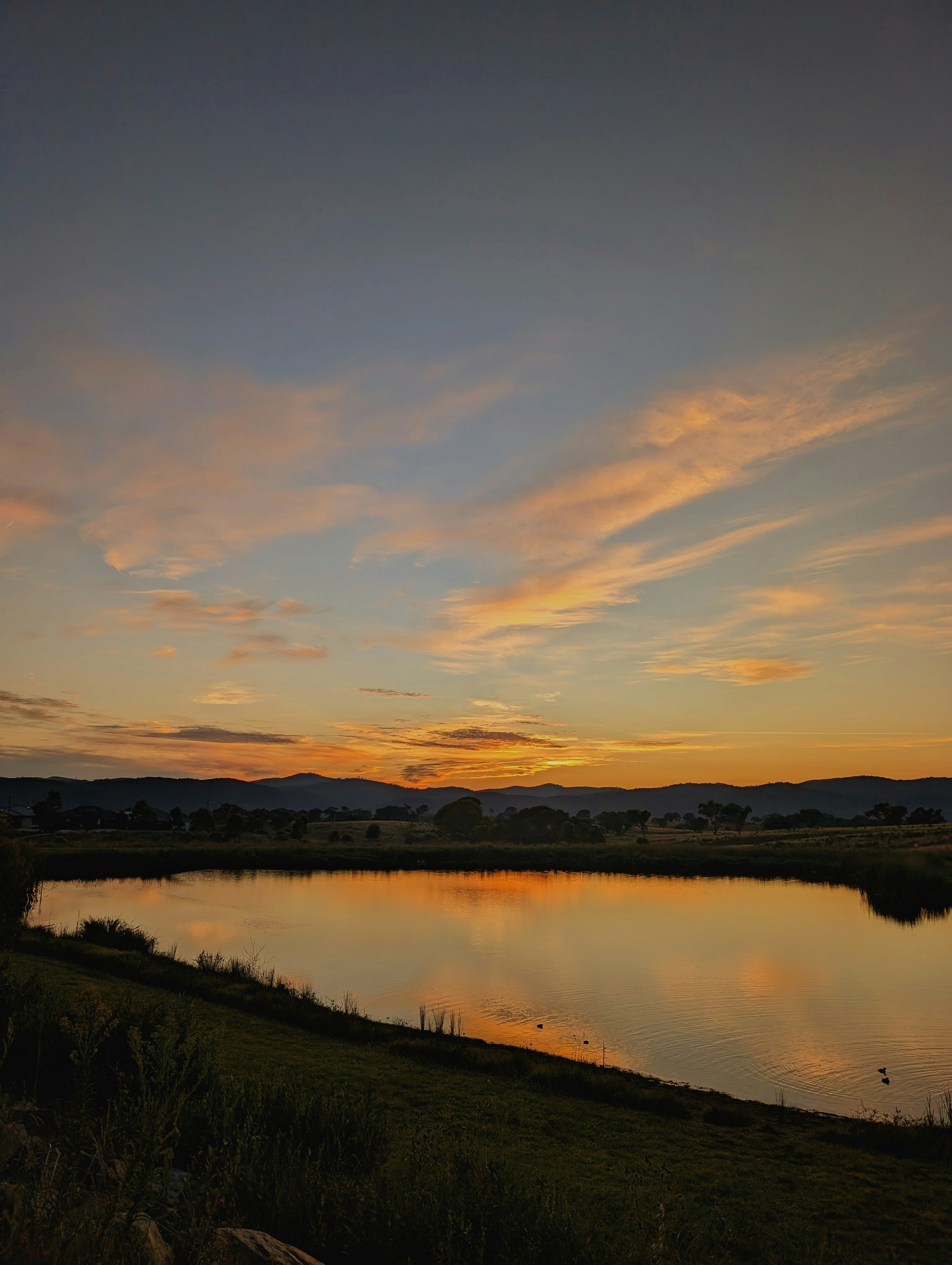 17.4 km away
BC
Kent Island 3 (BCMT)
Day use. Sheltered, undeveloped. Little beach above high tide. Not a good site, but useful shelter if crossing QC Strait. Might instead be 50Deg 54.063'N 127Deg 32.094'W.
 17.5 km away
BC
Kent Island 2 (BCMT)
Day use. Small stream crosses SW part of beach. Directly to NE of stream,10 m path leads to tent flat behind big cedar. May need brushing. Alternate camp on protected beach. Additional upland potential sites could be brushed.
 Britz HiTopCampervan
 Maui UltimaCampervan
 Jucy CoasterCampervan
Hitting the road? Rent the rig, not just the gear.
Compare live prices across Britz, Maui, Apollo, Jucy & more — campervans and motorhomes, one-way hires included.
Compare & bookPlan your visit
Save it, check the weather, map your route
Nearby Fuel
Campsite Explorer
Find Your Next Campsite
Share Your Experience
Help fellow campers by sharing your photos and reviews.
Own This Campsite?
Claim your listing to manage information, respond to reviews, and update details.