Baca Campground
Baca Campground
About this campsite
Location
Baca Campground•NM
Weather Forecast
via Open-MeteoNearby Campsites
 14.4 km away
NM
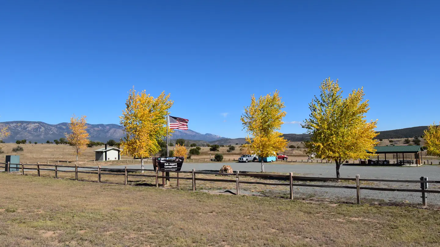
Rob Jagger's Campground
Overview Rob Jaggers Camping Area: This site consists of 2 large day use parking areas, 2 vault toilets, and facilities for staging horseback riding. There are 27 campsites with electricity and potable water hookups, and other potable water outlets scattered throughout. Campites and horse corrals are first-come, first-served . Camping is restricted to the campground only and no camping is permitted in the day use parking area. Occasionally the campground is rented out for Special Recreation Permitted events. When this happens notification will be made to the public in the form of a news release. BLM requires a Special Recreation Permit for some events. Please contact the Roswell Field Office to determine if a Special Recreation Permit is required for your event . There is water and electricity located at the group shelter. To make group shelter reservations or for any other Rob Jaggers Campground information, please contact the camp host at 575-322-0030. For other information please contact the Roswell Field Office at 575-627-0272 . Recreation RECREATION OPPORTUNITIES This unique NCA has many opportunities for hiking, caving, horseback riding, mountain biking, camping, visiting cultural and historic sites, picnicking, hunting, wildlife viewing, nature study, and photography. There is drinking water and toilets at the Rob Jaggers Camping Area and at the Cave Campgrounds. Trails (Hiking, Biking, Horseback Riding) Fort Stanton NCA has 73 miles of sustainable horseback, mountain biking, and hiking trails that wind through open meadows and canyons. Trails are marked with flexible fiberglass markers with the trail name or an arrow attached to the marker. Cross-country horse and foot travel is allowed. Mountain bikes are strongly encouraged to stay on established trails to protect the rider as well as the landscape. The trails offer great views of the surrounding Sacramento and Capitan Mountains. The majority of the trails start at the Rob Jaggers Camping Area on NM 220 where you will find hitching rails, water for your animals, and a vault toilet. Rio Bonito Petroglyph National Recreation Trail Hike the Petroglyph Trail along the Rio Bonito and glimpse into the past. At the midpoint of the Trail, in the river bed, is Petroglyph Rock. Etched on this rock are depictions of an ancient people known as the Jornada Mogollon who have long since left the area. Very little evidence has stood the test of time, but here on the Petroglyph Trail remains a link to the culture and lifestyle of these ancient people. The Trail can be reached from NM 220, west of the Sierra Blanca Regional Airport. Follow the highway signs stating “Upper Rio Bonito” to the bottom of the hill and turn right for approximately 250 ft then take the next left until you reach the trailhead (high-clearance vehicles are recommended). Petroglyph Rock is a short 450 ft walk from the parking area. The loop trail is approximately 2.1 miles in total length and is easy-to-moderate hiking with a few hills and areas with loose footing. Plan to spend approximately one hour on the Trail. Historical Sites Historic Fort Stanton is one of very few intact frontier forts in the West. Many of the original Fort buildings still stand. From 1855 to 1896, the Fort played host to some of the most colorful units and personalities of the West, including the 9th Cavalry, and the 24th, 57th, and 125th Infantry Buffalo Soldiers, Billy the Kid, Lew Wallace, Colonel Kit Carson, and General “Black Jack” Pershing. The post was also a Merchant Marine hospital & tuberculosis sanatorium, and World War II prisoner of war camp. In 1953, the Fort and 1,320 surrounding acres were transferred from Federal to State ownership, becoming a state hospital and training school until 1955. Today, the Fort area is active with other State activities and the Fort
 36.1 km away
NM
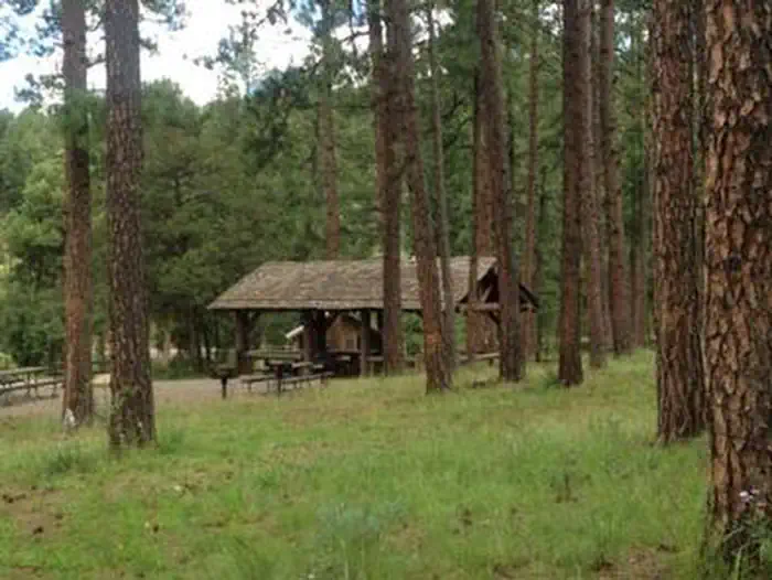
CEDAR CREEK (Sam Tobias)
Overview Located on the outskirts of Ruidoso, Cedar Creek provides a wonderful space for groups visiting for the day or staying overnight. With a picnic shelter and three group campsites, the recreation area is ideal for an outing in Lincoln National Forest. A popular pastime is is hiking and mountain biking along the scenic multi-use trails adjacent to the Sam Tobias Memorial Group Campground. There are opporunities to see a number of different wildlife, including Mule deer and Elk in the area. Recreation Hiking and biking are among the most popular activities here, with options like the T90 fitness Trail which extends 1.3 miles and includes exercise stations. Bilking trails T120 A-D and T121 A& B are also nearby. Also we have an expert-only downhill mountain bike trail, located near the water tower to the east of the Campgrounds. The trail ends at the picnic area. Dogs must be kept on leash at all times while hiking. Dogs are not allowed on the Fitness trail. Facilities The group picnic shelter offers drinking water and accessible vault toilets. Non-sheltered picnic tables are open to the general public. The group campgrounds range from 60 to 100 person capacities and the group picnic shelter fits up to 40 people. Each site comes with accessible picnic shelters, campfire rings, drinking water vault toilets and grills. Picnic Pavilion is for day use only. If you would like to camp overnight please book one of the group campgrounds. Natural Features Cedar Creek is perched along its namesake, Cedar Creek at a 7,000 foot elevation. Lincoln National Forest, located in south-central New Mexico, is most notable as the birthplace of the original Smokey Bear. Nearby Attractions Ruidoso is a delightful town with quaint shops, restaurants and art galleries. If picnickers wish to camp overnight, they can head to Sam Tobias Memorial Group Campground.
 36.3 km away
NM
Monjeau Campground
Campground: Monjeau Campground. Operated by USFS.
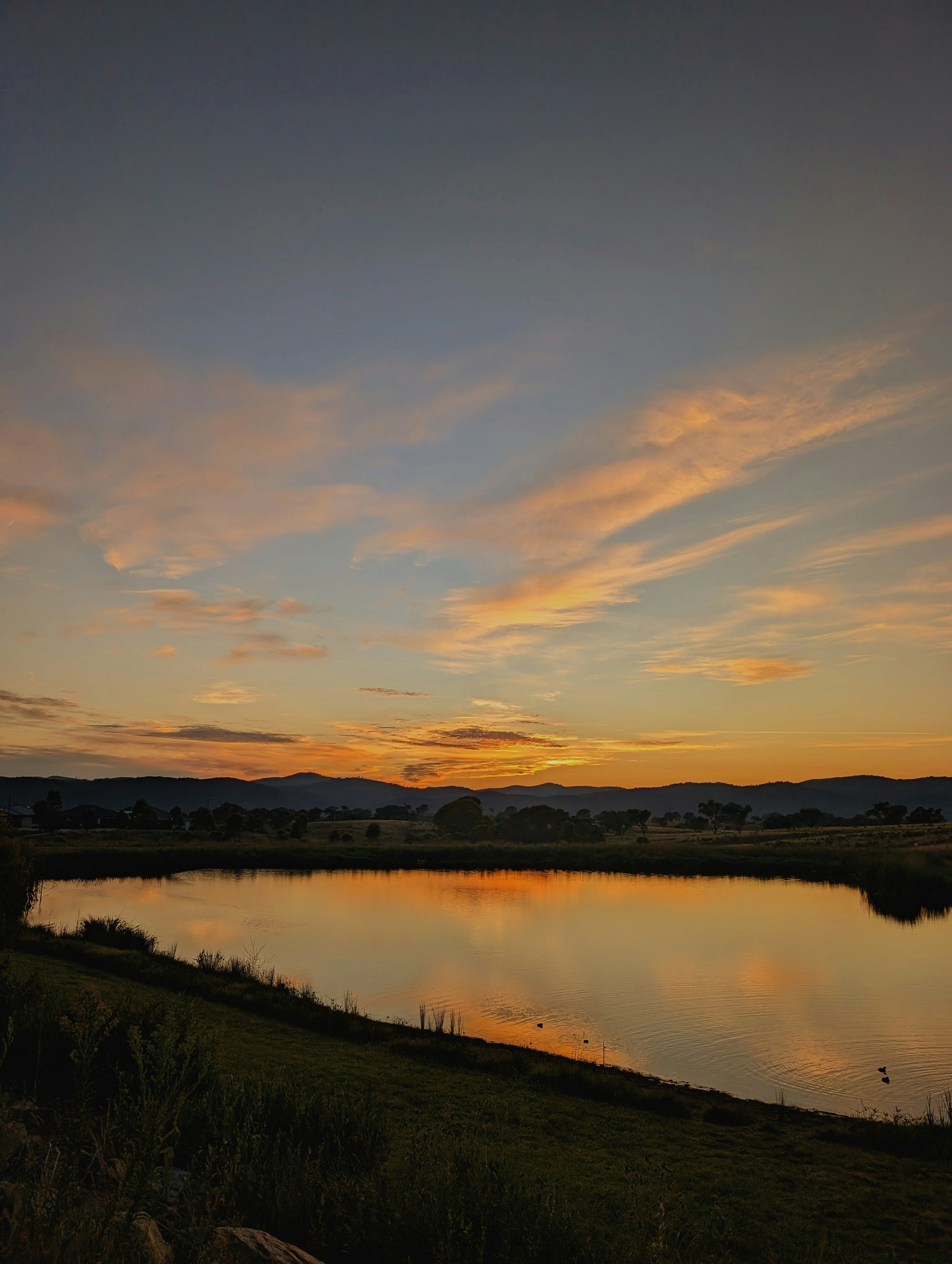 37.2 km away
NM
Skyline Campground
Campground: Skyline Campground. Operated by USFS.
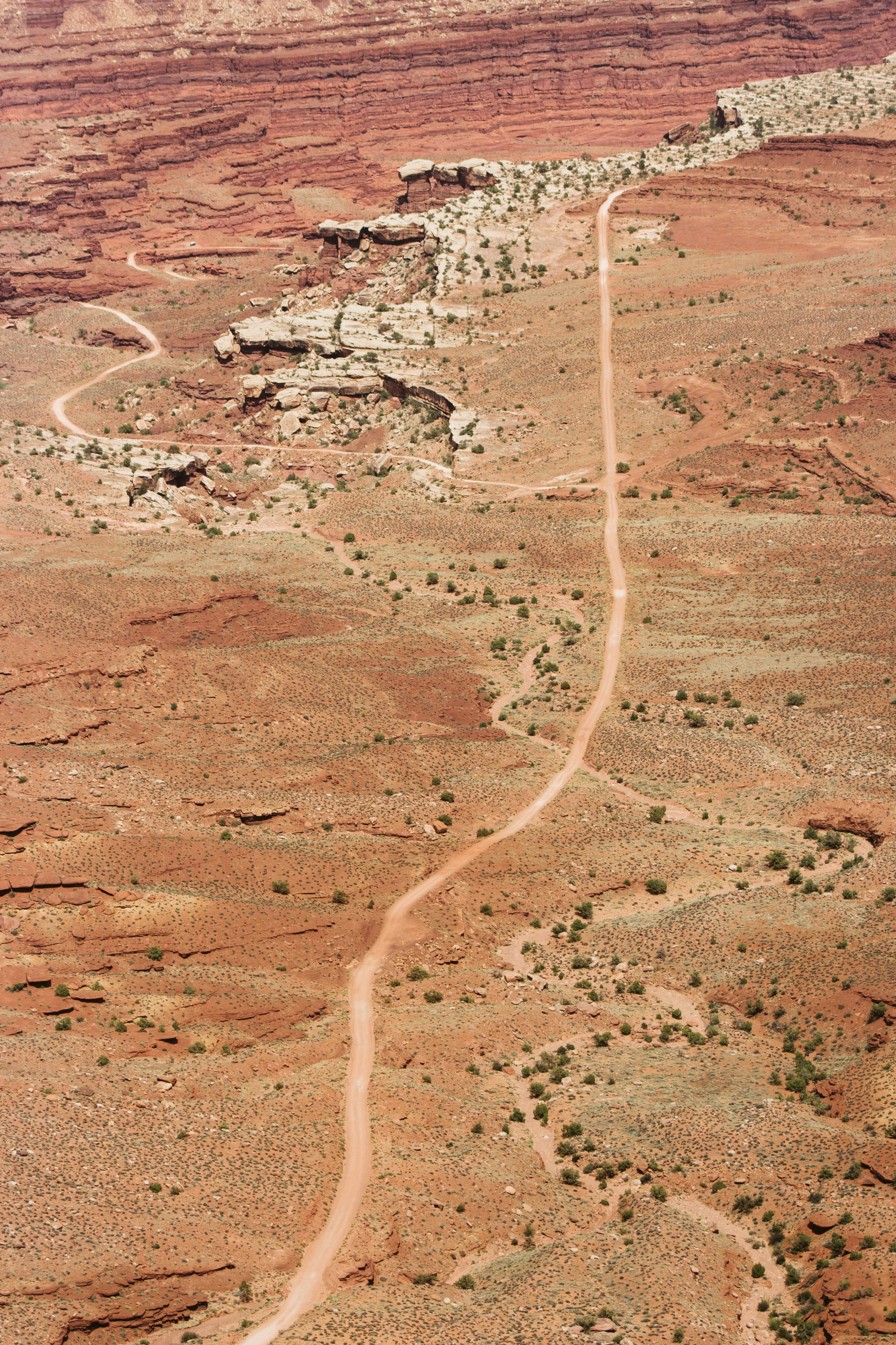 37.2 km away
NM
Skyline Campground
Campground: Skyline Campground.
 Britz HiTopCampervan
 Maui UltimaCampervan
 Jucy CoasterCampervan
Hitting the road? Rent the rig, not just the gear.
Compare live prices across Britz, Maui, Apollo, Jucy & more — campervans and motorhomes, one-way hires included.
Compare & bookPlan your visit
Save it, check the weather, map your route
Nearby Fuel
Campsite Explorer
Find Your Next Campsite
Share Your Experience
Help fellow campers by sharing your photos and reviews.
Own This Campsite?
Claim your listing to manage information, respond to reviews, and update details.
Baca Campground