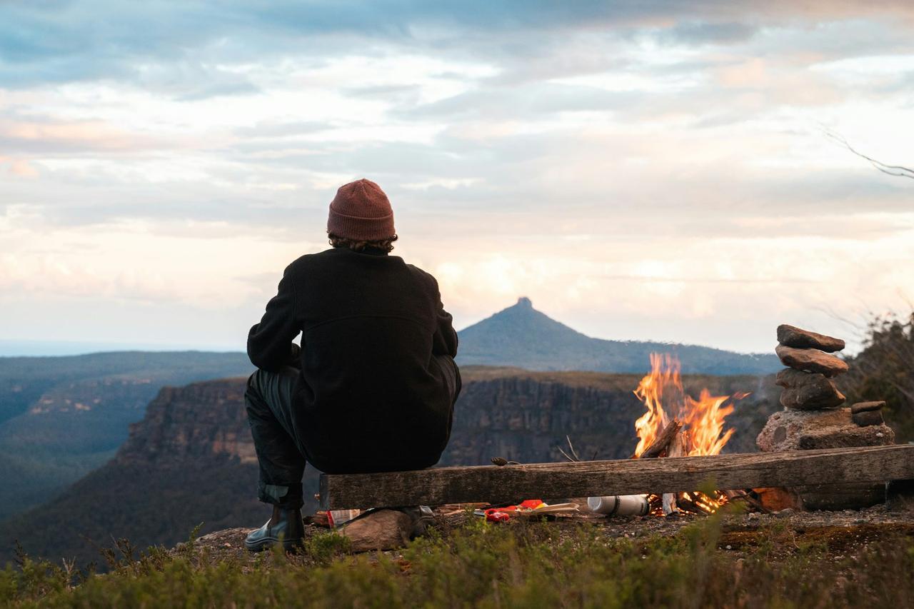
Lynx Pass Campground
Lynx Pass Campground
About this campsite
DESCRIPTION: Located in the Gore Pass area on the Routt National Forest. Lynx Pass campground is a small campground hosting 11 sites and can be found on Forest Service Road 270 between the towns of Kremmling, CO and Yampa, CO (off HWY 134)
The Lynx Pass Campground and surrounding area offers outdoor enthusiasts an opportunity to enjoy the simple pleasure of being outside. The campground is surrounded in lodgepole pine offering mostly shade, with a secluded, natural and primitive feel and can accommodate tents, campers, and trailers. This campground is popular for big game hunting in the fall.
Max Length for campers/trailers: 18 feet
Amenities:
- Picnic table at each site
- Fire grate at each site
- Potable water
- Trash service
- 1 vault toilet
- Several trailheads nearby
Elevation & Weather: At 8,989 ft, campers can expect cold evenings and cool mornings even during the warm summer months and snow-covered sites into the 2nd week of June.
Recreation Opportunities at Lynx Pass:
- Mountain biking: Tepee Creek Trail #1173 , Morrison Divide (Muddy Slide) Trail #1174
- E-Biking (allowed on motorized trails and roads ONLY): Morrison Divide (Muddy Slide) Trail #1174
- ATV Trail: Morrison Divide (Muddy Slide) Trail #1174 (usda.gov) PLEASE NOTE: Trail is narrow and ALL ATVS MUST BE UNDER 50” in width. Violators will be fined. ATV's MUST BE TRAILERED FROM THE CAMPGROUND TO THE TRAILHEAD.
- Hiking trails (30-minute drive to the Sarvis Creek Wilderness Area near Stagecoach Reservoir): Sarvis Creek Wilderness
- Fishing is popular at Lagunita Lake just a short walk from the campground.
Other Recreation Areas Nearby:
- 3.5 miles - Rock Creek Recreation Area
- 6 miles - Blacktail Creek Campground
- Red Dirt Reservoir and dispersed camping recreation area
Closest Towns:
- Toponas, CO
- Yampa, CO
- Kremmling, CO
Directions: Lynx Pass Campground can be accessed on its northern end via County Road 16 from Stagecoach State Park/Oak Creek, and from the southern end via State Highway 134. State Highway 134 can be accessed from either HWY 40 (Kremmling, CO) or from Steamboat Springs or Yampa, CO via HWY 131.
Location
Lynx Pass Campground•CO
Weather Forecast
via Open-MeteoNearby Campsites
 19.9 km away
CO
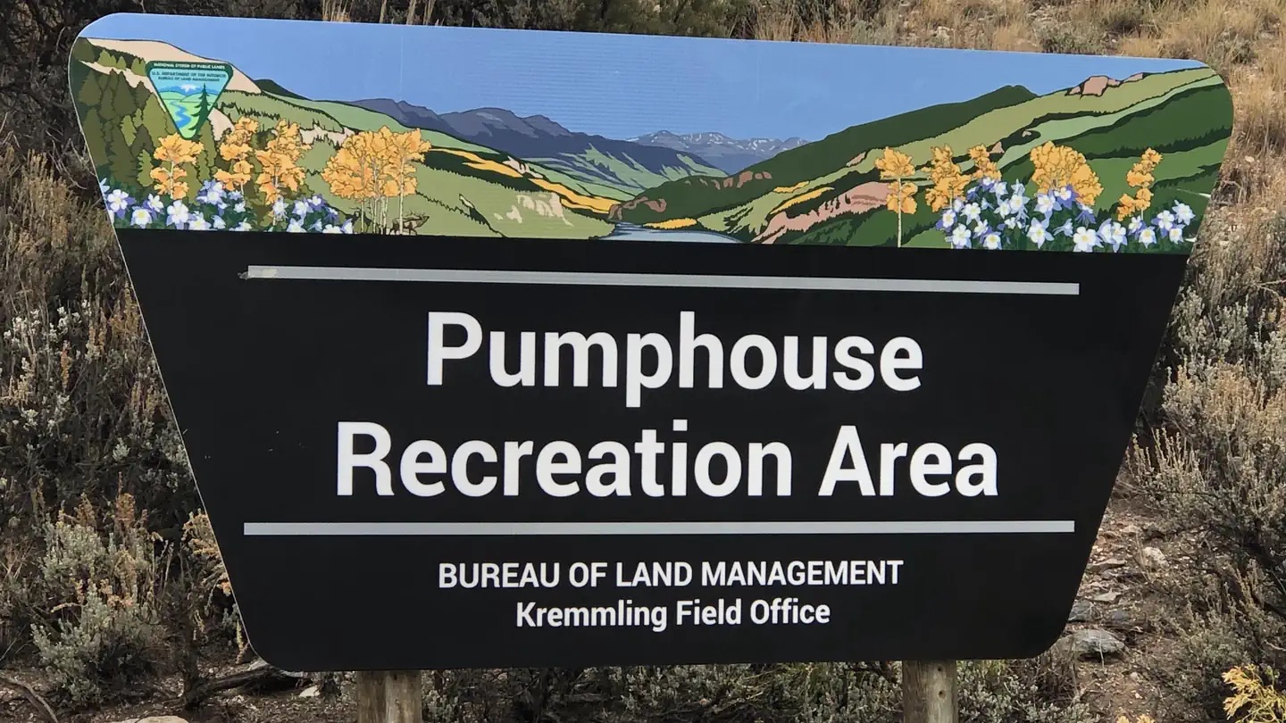
Pumphouse Recreation Area
Overview Managed by Kremmling Field Office The Pumphouse Recreation Area is part of the Upper Colorado River Special Recreation Management Area (SRMA), providing opportunities for developed camping, river access and access to hiking trails. With over 100,000 annual visitors the sites facilities include 3 developed boat ramp sites, 12 vault toilets, day use and overnight parking, 18 Single Campsites and 2 Group Campsites. The campground has a seasonal potable water system that may be in operation between mid-April to mid-November (not available for trailer hookups or filling of Recreational Vehicle and Travel Trailer filling). Recreation Pumphouse Recreation Area is the most heavily used access point for the Upper Colorado River between Kremmling and State Bridge. Those floating downriver access calm flat water to Class III whitewater rapids. The Gore Canyon Whitewater Playpark is located just above Boat Ramp #2 and provides a manmade wave that is popular for kayakers, stand up paddle boarders and other small watercraft. It is also an exciting splash feature for watercraft coming downriver from Boat Ramp #1. Hiking opportunities accessed from the Pumphouse Recreation Area provide ample access for wade fishing and exploring along the Colorado River. The Gore Canyon Trail is open to foot travel only providing access upriver for 1.5 miles. Keep an eye out for the historic retaining walls holding the trail in place that early surveyors of Gore Canyon and homesteaders developed to access this area of the river for finding a railroad route and efforts to divert water for irrigation. The Gore Canyon Ranch Trail is open to foot travel only and provides access downriver for 1.25 miles connecting to the Gore Canyon Ranch Trailhead and Parking Area. This undeveloped area was the site of a homestead ranch and acquired by the BLM to improve and expand public recreation and access, provide educational opportunities on the area’s history, wildlife and responsible recreation opportunities and restore habitat for wildlife. The historic Argentine Trail is open to foot travel only and is accessed from the Gore Canyon Ranch Trail. This trail is not for the lighthearted as it has steep drop offs as much of the trails was blasted into the cliffs of Hartman Canyon allowing access for surveyors and mule trains. Those floating down stream can see this trail high up the canyon wall on river left. Facilities Each campsite must be reserved through Recreation.gov and has varying space for parking (see parking size limitations for each campsite before completing your reservation), a picnic table, a fire ring, and close proximity to a vault toilet and trash receptacles. For campsites 1-8, driveway parking is 35 feet or less in length and is back-in/pull-in. Additional vehicles may park along the roadway adjacent to the campsite if space allows or must park in the general parking areas. Camping within vehicles outside of the assigned campsite driveway is not permitted. Campsites 9-18 are parallel parking and typically have space for two vehicles and small trailers. Additional vehicles must park in the campground overflow parking across from Group Campsite A. Potable water may be available May - October. However, do not rely on this as the water source for your trip's needs as it is not always operational. There are no electric hook-ups and cell service is non-existent without a booster. There are three boat ramps with restrooms. Boat Ramp #2 adjacent to the Gore Canyon Whitewater Play Park is a boat slide with steps. Boat ramps have electricity. Natural Features The Pumphouse Recreation Area is adjacent to the Colorado River between Gore Canyon and Hartman Canyon. The scenery within the area is a
 20.3 km away
CO
Radium Recreation Area
Overview Managed By Kremmling Field Office The Radium Recreation Area is part of the Upper Colorado River Special Recreation Management Area (SRMA), providing opportunities for developed camping and river access. With over 100,000 annual visitors the sites facilities include 2 developed boat ramp sites, 9 vault toilets, day use and overnight parking, 16 single campsites and 2 Group Campsites and 3 day use shade structures. There is no potable water provided at this area. The area is used by visitors to access the river for floatboating and fishing opportunities. Recreation Recreation opportunities include river access for fishing and floatboating. On-site picnic shelters provide visitors with opportunities to a covered area for relaxing and picnicking. Note – Radium Warm Springs Access: There are no designated trails from this area and there is no designated access to the Radium Warm Springs. Parking is not permitted along the narrow Radium Road between the Radium Recreation Area and Trough Road to ensure safe passage of vehicles and ensure clear passage for Emergency Vehicles when needed. Please respect the social trail closures and restoration conducted on BLM managed lands along Radium Road that protect area wildlife habitat including area Big Horn Sheep. The Colorado Parks and Wildlife Mugrage Site along Radium Road, including the restroom and social trail that accessed the Radium Warm Springs within the Radium State Wildlife Area, is closed for the protection of this important habitat. The BLM is looking at a potential future designated and developed trail from the Radium Recreation Area. Until a trail alignment along Radium Road is developed it is recommended that the easiest and safest way to access the Radium Warm Springs from Radium Recreation Area is to drive to Warm Springs Road 1.5 northeast along Trough Road. Follow the directional sign located at the intersection of Radium Road and Trough Road. A parking area and trailhead at the end of Warm Springs Road provides access to the Radium Warm Springs via the Warm Springs Trail open to foot travel only, or the Ol’ Warm Springs Trail which is open to Foot, Horse, Bicycle and eBike travel. Facilities Each campsite must be reserved through Recreation.gov and has varying space for parking (see parking size limitations before completing your reservation), a picnic table, a fire ring, and close proximity to a vault toilet and trash receptacles. Campsites 1-4 are walk-in sites and have parking for one vehicle without a trailer. Campsites 5-13 have pull through parking areas and can typically fit one to two vehicles and small trailers. Campsites 14-16 have pull in parking and is 30 feet in length or less. Additional vehicles not fitting within a campsite's designated parking must park in the general parking areas. There are no electric hook-ups and cell service non-existent without a booster. There are two boat ramps with restrooms. Natural Features The Radium Recreation Area is adjacent to the Colorado River next to the small town of Radium. The scenery within the area is a major component to the adjacent Colorado Headwaters National Scenic and Historic Byway and are important features that make this stretch of river Wild and Scenic Eligible. Nearby Attractions The town of Kremmling, CO is approximately 20 miles east from Radium Recreation Area where visitors can get supplies. Rancho Del Rio – a private resort along the Colorado river, has a small store with supplies and is a river access point for those recreating on the river. Rancho Del Rio is located approximately 6 miles west along Trough
 25.0 km away
CO
McKindley Group Campground
Campground: McKindley Group Campground.
 25.1 km away
CO
McKindley Campground
Campground: McKindley Campground.
27.1 km awayCO
Colorado River Camp
Campground: Colorado River Camp.
 Britz HiTopCampervan
 Maui UltimaCampervan
 Jucy CoasterCampervan
Hitting the road? Rent the rig, not just the gear.
Compare live prices across Britz, Maui, Apollo, Jucy & more — campervans and motorhomes, one-way hires included.
Compare & bookPlan your visit
Save it, check the weather, map your route
Nearby Fuel
Campsite Explorer
Find Your Next Campsite
Share Your Experience
Help fellow campers by sharing your photos and reviews.
Own This Campsite?
Claim your listing to manage information, respond to reviews, and update details.
Lynx Pass Campground