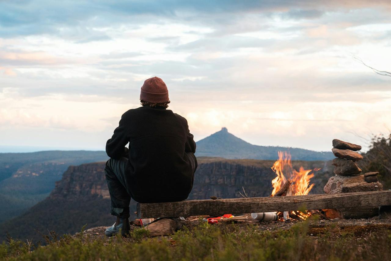
Guadalupe Peak
Guadalupe Peak
About this campsite
Location
Guadalupe Peak•TX
Weather Forecast
via Open-MeteoNearby Campsites
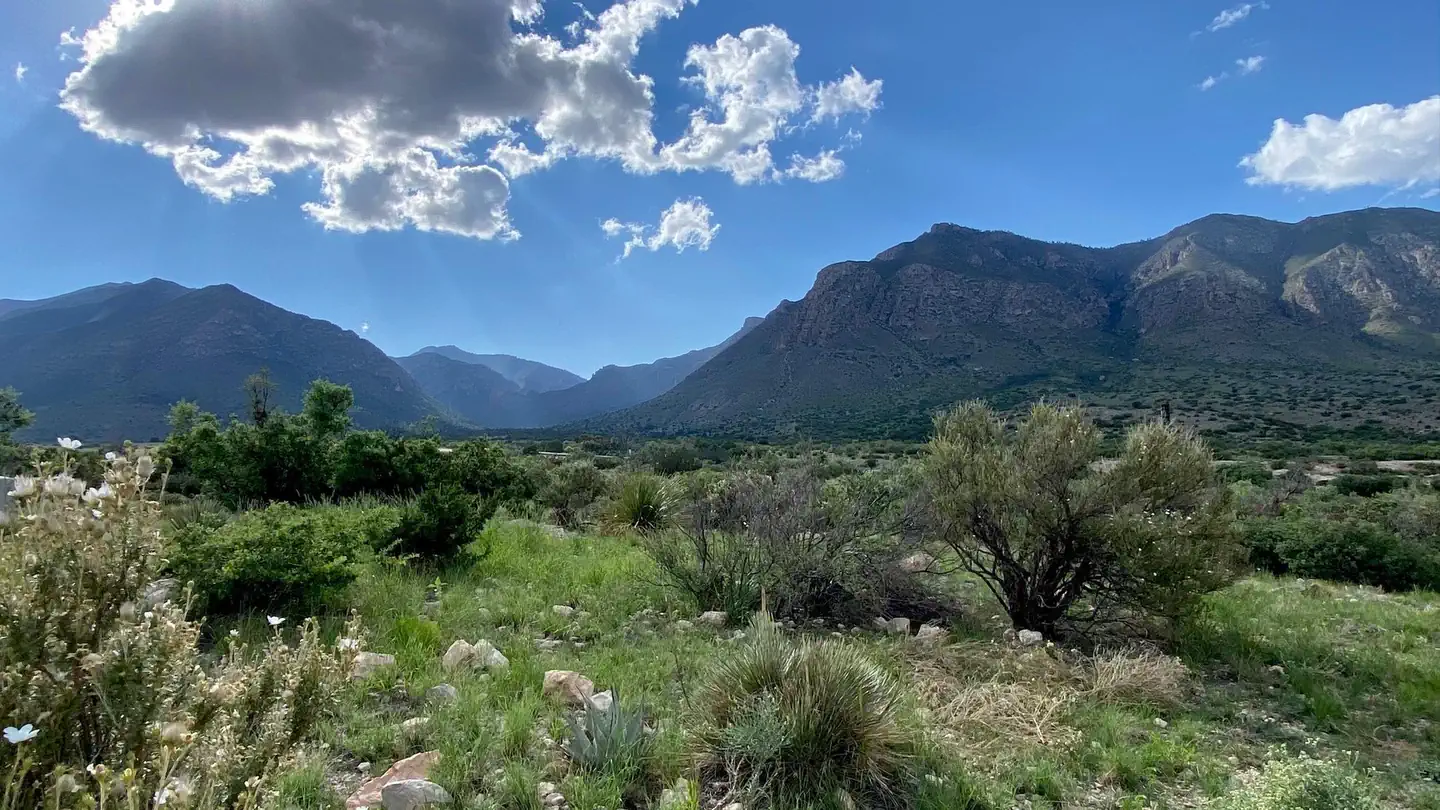 2.4 km away
TX
Pine Springs Campground
Overview The Pine Springs RV campground is not a traditional campground. Be aware, this is a paved parking lot. The area shares a popular and busy trailhead accessing four major trails. The area is frequently congested with day use hikers searching for available parking and with foot traffic from overflow parking areas. Before booking a reservation: It is your responsibility to review all (Site Details, Allowable Equipment, Allowable Vehicle/Driveway and Need to Know) for the individual campsite. Failing to do so may result in being prohibited from occupying the site upon your arrival. Refunds are not provided by the park. Pine Springs Campground is located near the Pine Springs Visitor Center, just off U.S. 62/180 and at an elevation of 5,730 feet. The location offers great hiker access to the Guadalupe Mountains National Park trail system. The campground is situated at the opening to the Pine Springs Canyon with spectacular views of the world’s best example of a fossil reef and of the vast Permian Basin to the east. The campground is open year-round and is busiest, March-May and September-November. High winds with over 50 mph gusts are common, especially during winter and spring. Recreation The Pine Springs Trailhead includes access to many different types of hikes. Hikes to Guadalupe Peak or the Bowl are strenuous, 8-9 miles, and have 2500-3000 feet of elevation gain. Another strenuous hike is the Devil’s Hall Trail (4.2 miles round-trip, 500 feet elevation gain, ½ of the trail in a rocky, uneven wash which includes route-finding and boldering skills). For a more moderate hike consider the the Frijole/Foothills Trail. The El Capitan Trail offers excellent open views of the surrounding desert and close approaches to the cliff face of El Capitan. Because of its distance, lack of shade, some primitive route travel, and numerous elevation changes, this trail is best saved for cooler times of year and for people with experience in route-finding. The ruins of a Butterfield stage station, called the Pinery are next to the highway, and a short, paved nature trail connects the visitor center and the historic site. The Frijole Ranch & History Museum is 1.5 miles away. The grounds are always open, but the museum is staffed intermittently. Seven miles to the east on Hwy 62/180 is McKittrick Canyon. This area offers three trails, the McKittrick Canyon Nature Trail (0.9 miles loop), McKittrick Canyon Trail (4.8 miles round-trip to Pratt Cabin or 6.8 miles round-trip to the Grotto) and the Permian Reef Trail (8.4 miles round-trip, for serious geology buffs). Facilities The campground features 35 sites total with 20 tent, 13 RV and 2 group sites available by reservation. Campsite occupancy is limited to 6 persons or 2 tents, per site. Group sites allow 10-20 persons per site. No open fires (this includes portable propane fire rings and charcoal) are permitted anywhere in the park. Only cooking stoves or lanterns using containerized fuel are permitted. Tent sites are hike-in only (38’ – 277’ from parking) and cannot accommodate RV parking due to the narrow access road. Each site offers a tent pad and picnic table. RV sites are paved but very basic, offering picnic tables at most sites. No shower facilities, hookups or dump stations. The park is remote. Fuel your vehicle and purchase supplies before heading to the park. The visitor center bookstore carries limited camping and hiking supplies. The use of weight-bearing hammocks, slacklines, tarps or similar devices tied to natural and/or manmade features is prohibited . This regulation is intended to protect the landscape and environment in the park, as
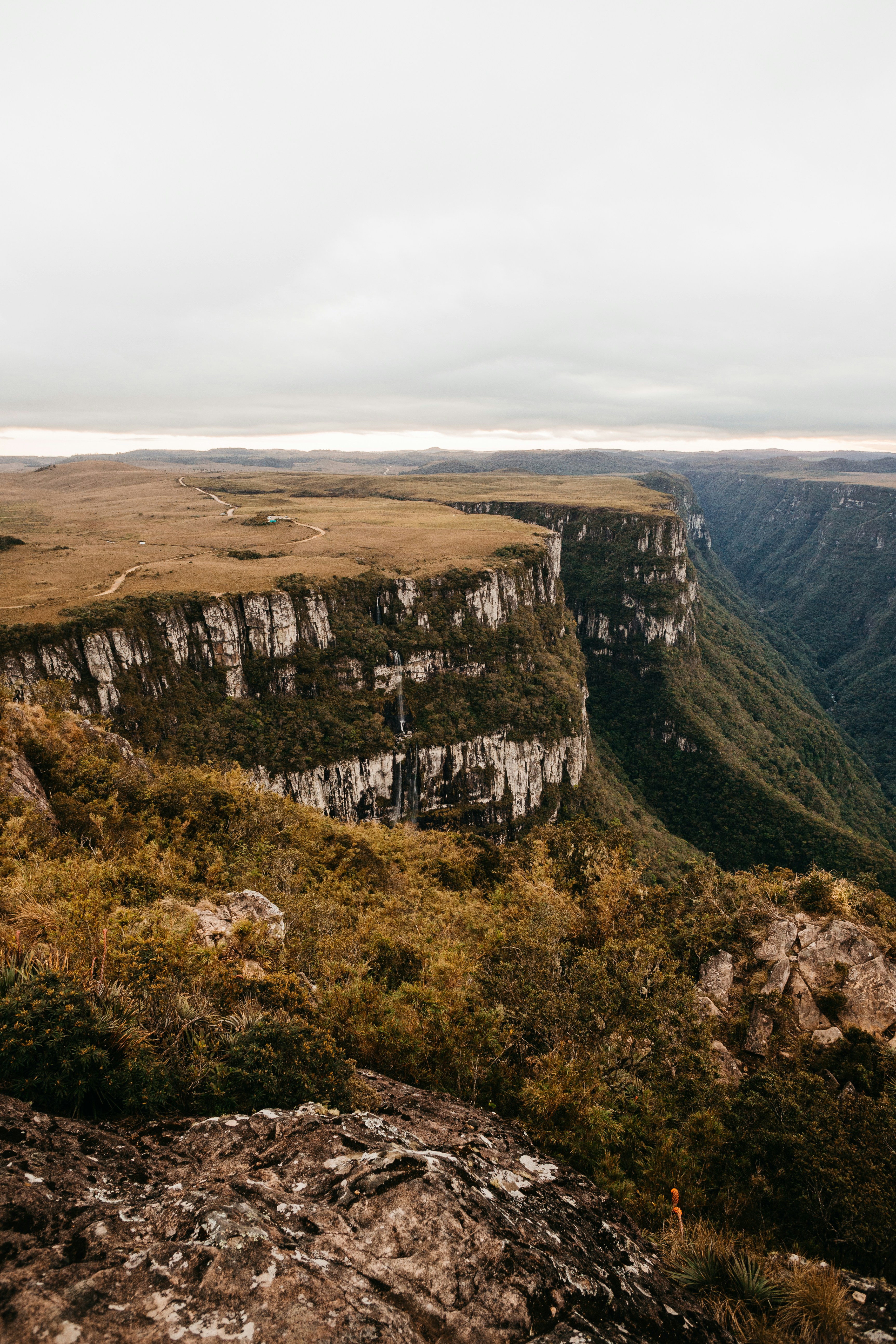 2.9 km away
TX
Pine Top Wilderness Campground
Campground: Pine Top Wilderness Campground. Operated by National Park Service.
3.2 km awayTX
Shumard Canyon Backcountry Campground
Campground: Shumard Canyon Backcountry Campground.
4.4 km awayTX
Bush Mountain Wilderness Campground
Campground: Bush Mountain Wilderness Campground. Operated by National Park Service.
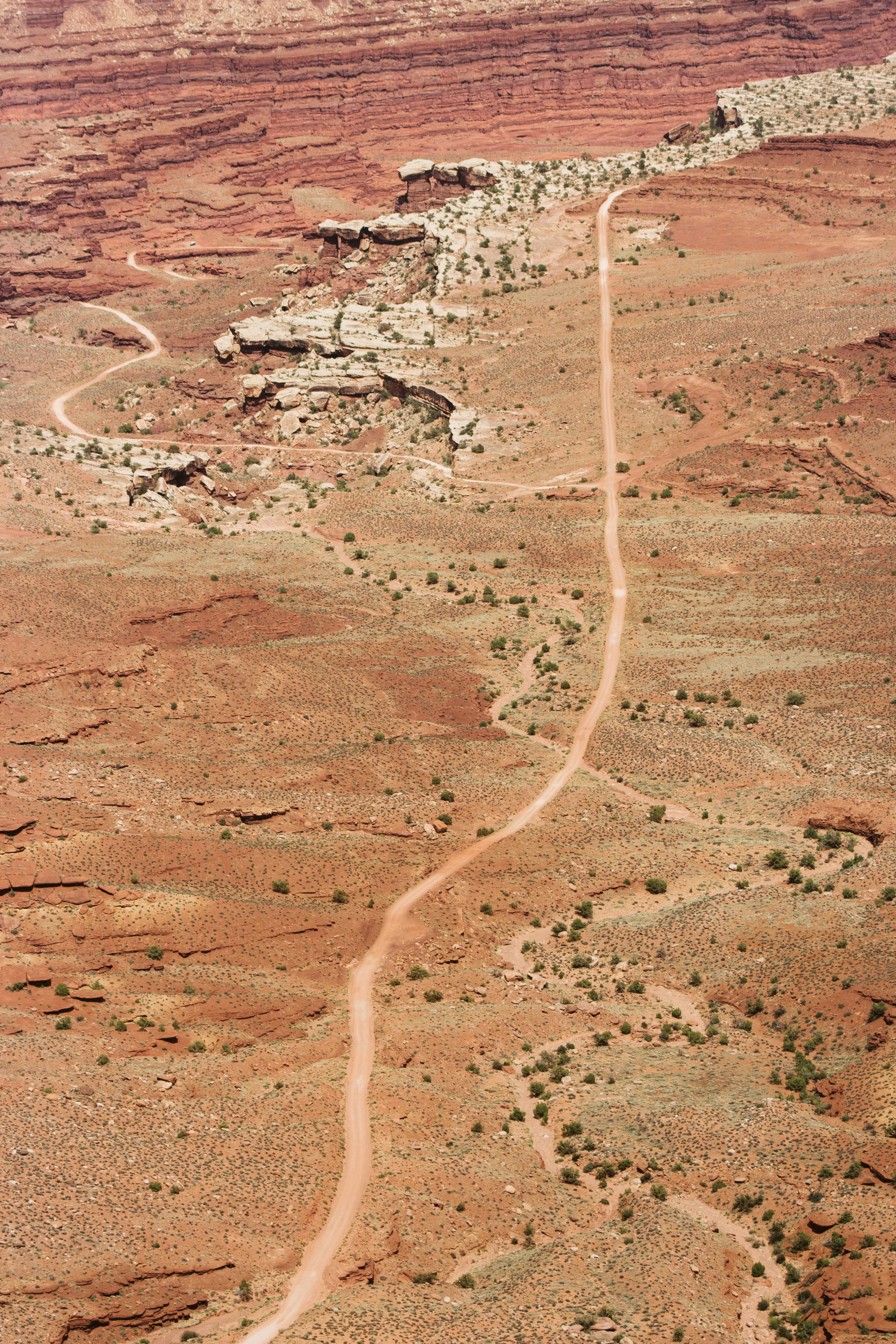 4.6 km away
TX
Tejas Wilderness Campground
The extra distance to the Tejas Wilderness Campground is worth the time for those who wish to stay in a more densely forested surrounding. The tall trees provide deep shade in the morning and late afternoon and protection from high winds aloft. Centrally located, the Tejas campground is 5.5 miles from Pine Springs trailhead or 6.2 miles from Dog Canyon.
 Britz HiTopCampervan
 Maui UltimaCampervan
 Jucy CoasterCampervan
Hitting the road? Rent the rig, not just the gear.
Compare live prices across Britz, Maui, Apollo, Jucy & more — campervans and motorhomes, one-way hires included.
Compare & bookPlan your visit
Save it, check the weather, map your route
Nearby Fuel
Campsite Explorer
Find Your Next Campsite
Share Your Experience
Help fellow campers by sharing your photos and reviews.
Own This Campsite?
Claim your listing to manage information, respond to reviews, and update details.
Guadalupe Peak