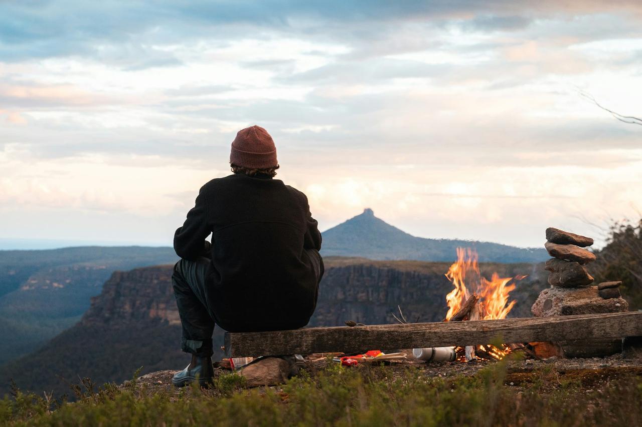
Curecanti Creek
Curecanti Creek
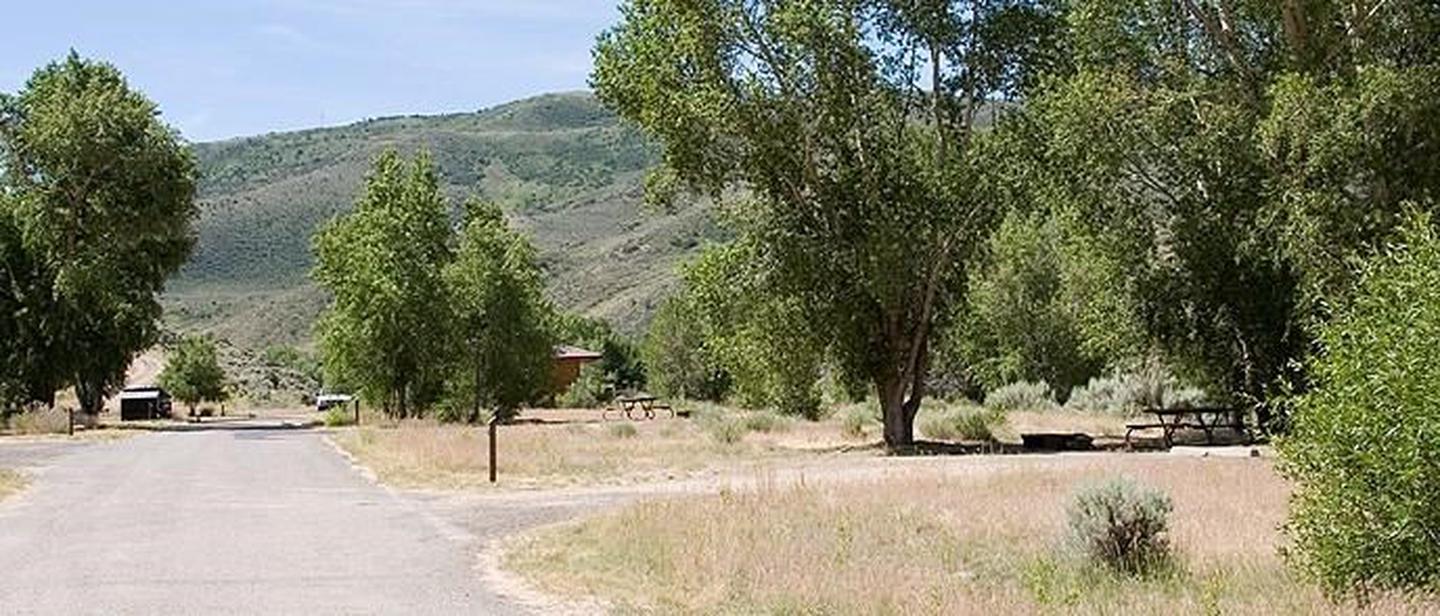
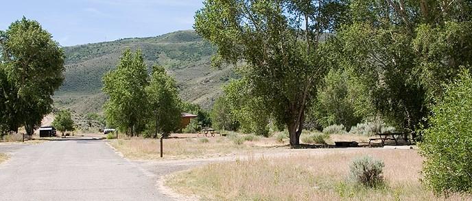
About this campsite
Location
Curecanti Creek•CO
Weather Forecast
via Open-MeteoCommon questions about Curecanti Creek
Can you book Curecanti Creek online?
We hold no online booking link for Curecanti Creek, so it is not bookable through this page. Many parks and showgrounds still require a booking, so contact the operator before you go. Their website or phone number is the fastest way to confirm a site.
Where is Curecanti Creek?
Curecanti Creek sits in CO. The map on this page shows the exact spot, and the coordinates travel straight into your navigation app. Check road conditions before you set out if you are towing, since access tracks can change with the weather.
Nearby Campsites
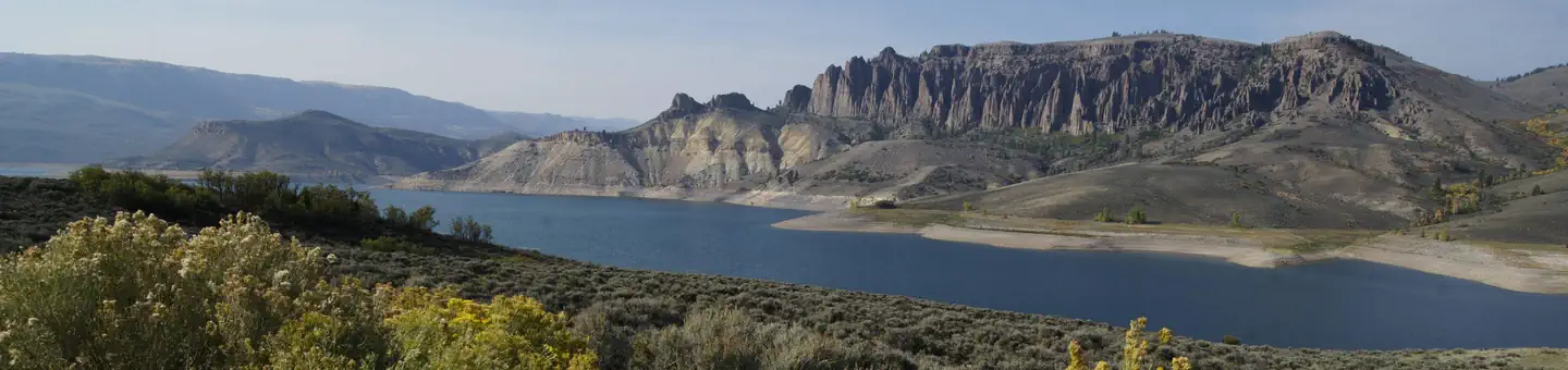 7.5 km away
CO
LAKE FORK CAMPGROUND
Overview Lake Fork Campground is on the Blue Mesa Reservoir, near the reservoir's dam. It is a part of the historic Curecanti Recreation Area and is an ideal place to stay for days of boat recreation, hiking and taking in the views of the Black Canyon. Recreation Jet skiing, water skiing and canoeing are some of the many water activities available on the reservoir. Bird Watching is also rewarding, with chances to see the black-billed magpie. Along the shrubland, visitors can spot Gunnison's Prairie Dogs popping out of their holes. Facilities Flush toilets are available in summer months. Cell phone service is limited. For anglers, a fish cleaning station is provided for conveniently preparing the days catch. Elk Creek, Lake Fork and Iola boat ramps are OPEN for the season. Natural Features The steep canyon walls in this part of the reservoir were carved out by the Gunnison River, which once flowed with powerful intensity fueled by the snowmelt of nearby mountains. Today, the Gunnison river is dammed in three places, creating three large and beautiful reservoirs to be enjoyed by visitors. The land is characterized by semi-arid shrubland with vast expanses of sagebrush. The natural features and ecosystems of Curecanti vary greatly, with Riparian habitats, epic canyons and lush patches of Ponderosa pine, Douglas fir and aspen trees. Nearby Attractions The recreation area is just south of Gunnison National Forest and east of the Black Canyon of the Gunnison National Park. There's no shortage of options for Scenic Drives and Hiking. Try hiking the Curecanti Creek Trail or Hermit's Rest Trail off HWY 92.. Charges & Cancellations
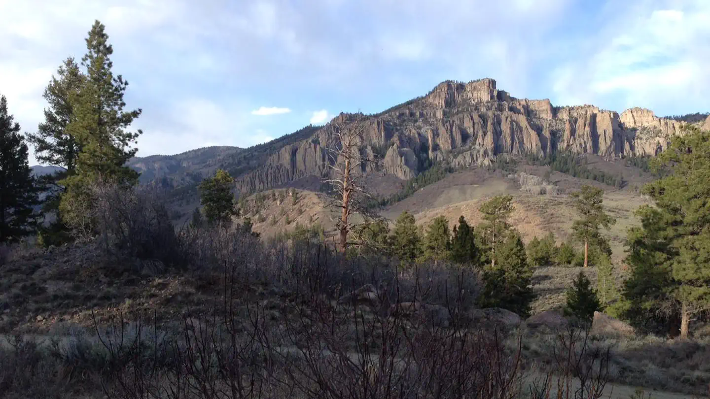 12.0 km away
CO
Ponderosa Campground (CO)
Overview Ponderosa Campground is located at the northwest end of the Soap Creek Arm of Blue Mesa Reservoir at 7880 feet (2402 m). The campground offers outstanding views and solitude. Note: During dry conditions, the first 7 miles (11 km) of Soap Creek Road are passable to trailers and RVs. Rain can make the Soap Creek Road impassable. Facilities Trash/recycling collection provided. Vault toilets only. Horse Corral in upper loop.
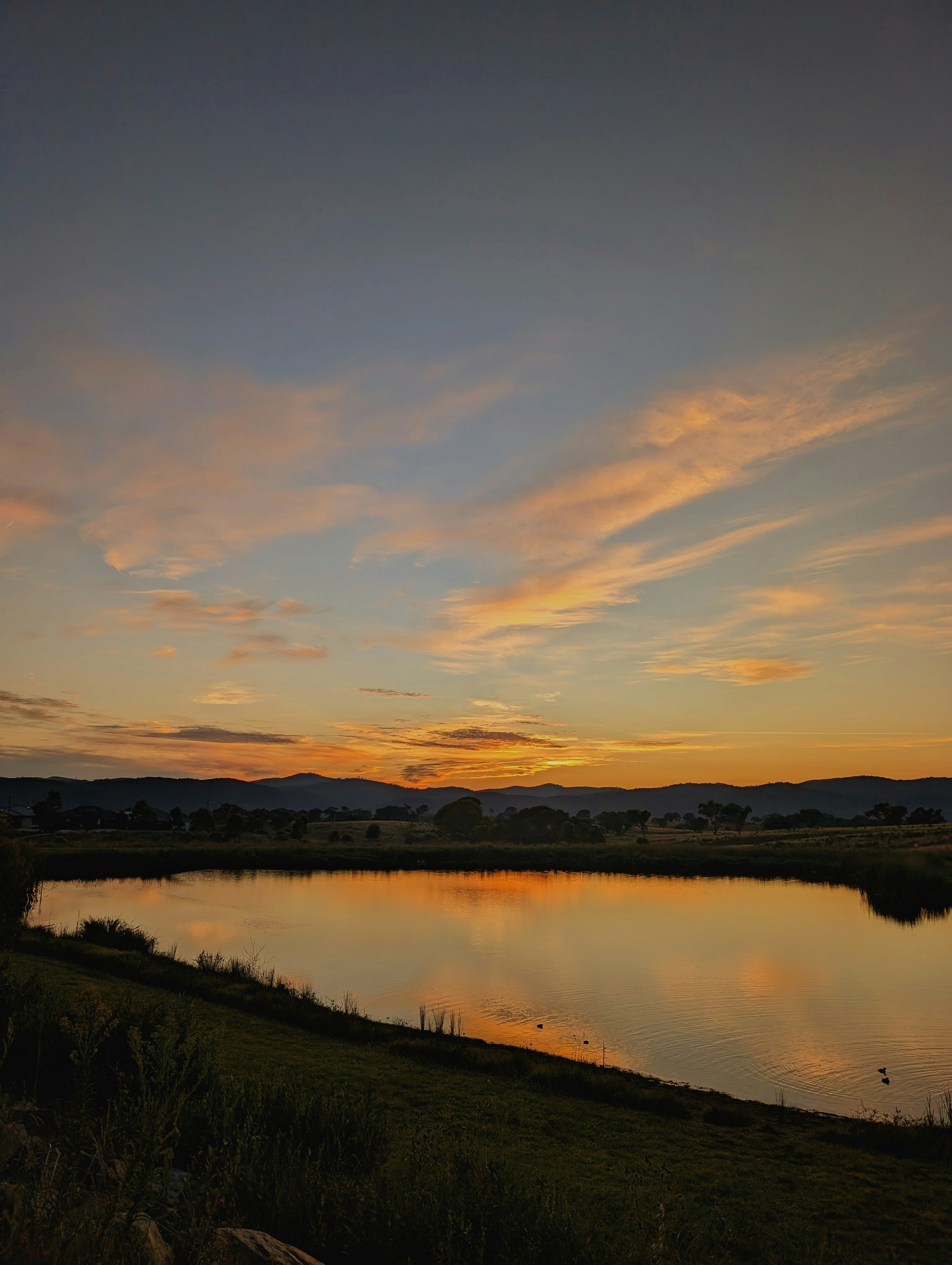 12.2 km away
CO
Lake Fork Arm
Campground: Lake Fork Arm. Operated by NPS.
 12.2 km away
CO
Cimarron Campground (CO)
Overview Cimarron Campground is located 20 miles (32 km) east of Montrose, CO on U.S. Highway 50 at the site of Cimarron, a historic narrow gauge railroad town . The campground accomodates all types of camping--from tents to medium sized RVs. All sites are first-come first-served, and the campground rarely fills. Railroad exhibits are adjacent to the campground, and Crystal Reservoir near Morrow Point Dam is approximately 1.5 miles away (2.4 km). Elevation: 6895 feet (2101 m) Facilities Seasonal potable water, flush toilets, dump station and trash/recycling collection provided. Picnic tables, fire grates and fire rings in every camp site. Nearby Attractions The Cimarron Canyon Rail Exhibit is adjacent to the campground. Crystal Reservoir near Morrow Point Dam is approximately 1.5 miles (2.4 km) away. Charges & Cancellations
 12.2 km away
CO
Cimarron Campground
Cimarron Campground is located 20 miles (32 km) east of Montrose, CO on U.S. Highway 50 at the site of Cimarron, a historic narrow gauge railroad town. The campground accommodates tents to medium sized RVs. All sites are first-come, first-served and the campground rarely fills. Railroad exhibits are adjacent to the campground. Crystal Reservoir near Morrow Point Dam is approximately 1.5 miles away (2.4 km).
 Britz HiTopCampervan
 Maui UltimaCampervan
 Jucy CoasterCampervan
Hitting the road? Rent the rig, not just the gear.
Compare live prices across Britz, Maui, Apollo, Jucy & more — campervans and motorhomes, one-way hires included.
Compare & bookPlan your visit
Save it, check the weather, map your route
Nearby Fuel
Campsite Explorer
Find Your Next Campsite
Share Your Experience
Help fellow campers by sharing your photos and reviews.
Own This Campsite?
Claim your listing to manage information, respond to reviews, and update details.