Sevenmile
Sevenmile
About this campsite
Overview
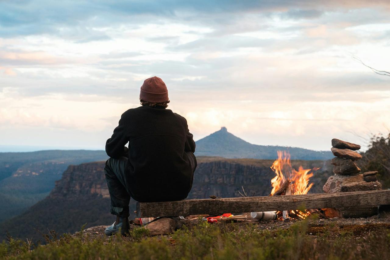
There are 3 reservable and 1 FCFS campsites each with a double horse corral, picnic table, fire ring, and adequate camping space for two vehicles each. There is no drinking water, however water from the spring is available for stock use. There is a vault toilet.
Scan and Pay might be offered at this campground; It is recommended that you pay by cash or check for FCFS campsites. There are no refunds, modifications, cancellations, or other fee changes allowed with FCFS payments. This system is the same as putting cash into a fee tube and cannot be refunded. Please download the Rec.Gov app prior to arriving at the campground as there may be no cellular service or very limited service at the campground. If no Scan & Pay option is available you must pay via cash or check.
Location
Sevenmile•OR
Weather Forecast
via Open-MeteoNearby Campsites
 2.9 km away
OR
HOUSE ROCK CAMPGROUND
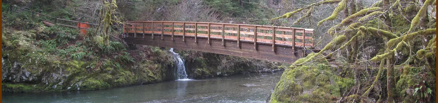
Overview There are 17 campsites set in an upper and lower loop. Some of the sites can accommodate trailers up to 22 feet in length. The upper loop has one accessible single vault toilet while the lower loop has two accessible single vault toilets. Drinking water is available from hand pumps located in both the upper and lower loops. The adjacent picnic area is part of the site and has four tables and two grills, and provides access to the Horse Rock Trial, a 0.8-mile loop trail. Scan and Pay might be offered at this campground; It is recommended that you pay by cash or check for FCFS campsites. There are no refunds, modifications, cancellations, or other fee changes allowed with FCFS payments. This system is the same as putting cash into a fee tube and cannot be refunded. Please download the Rec.Gov app prior to arriving at the campground as there may be no cellular service or very limited service at the campground. If no Scan & Pay option is available you must pay via cash or check. Reservations may be made up to 6 months in advance of arrival date by reserving online at RECREATION.GOV or by calling 877-444-6777. Recreation Swimming is popular, especially because many sites have riverfront access to shallow swimming areas. Anglers can cast for native cutthroat trout. In addition to the House Rock Trail, hikers have access to a variety of other trails in the Tombstone Pass Area, like the Iron Mountain Trail. Facilities The campground road and parking spurs are composed of packed dirt and rock. The double-loop area comes with accessible vault toilets and drinking water from hand pumps. Picnic tables, campfire rings and grills are at each site. Campfire wood is not readily available at the park. Please plan to bring firewood or purchase from a nearby vendor. Linn County Parks staff, may occasionally, pass through the park with firewood available for purchase. Natural Features House Rock Campground is perched on the confluence of Sheep Creek and the South Santiam River in an old growth grove. The river is a 66-mile tributary of the Santiam River that is fed by snowmelt from the Cascade Mountains. Nearby Attractions Campers enjoy hiking the House Rock Trail, which starts at the day-use area. Part of the trail shares paths with the historic Santiam Wagon Road, a trail used to transport livestock east across the Cascade Mountains to central Oregon's grasslands. In addition to the House Rock Trail, hikers have access to a variety of other trails in the Tombstone Pass Area, like the Iron Mountain Trail. Swimming is popular, especially because many sites have riverfront access to shallow swimming areas. Anglers can cast for native cutthroat trout.
 7.3 km away
OR
FERNVIEW GROUP SITE
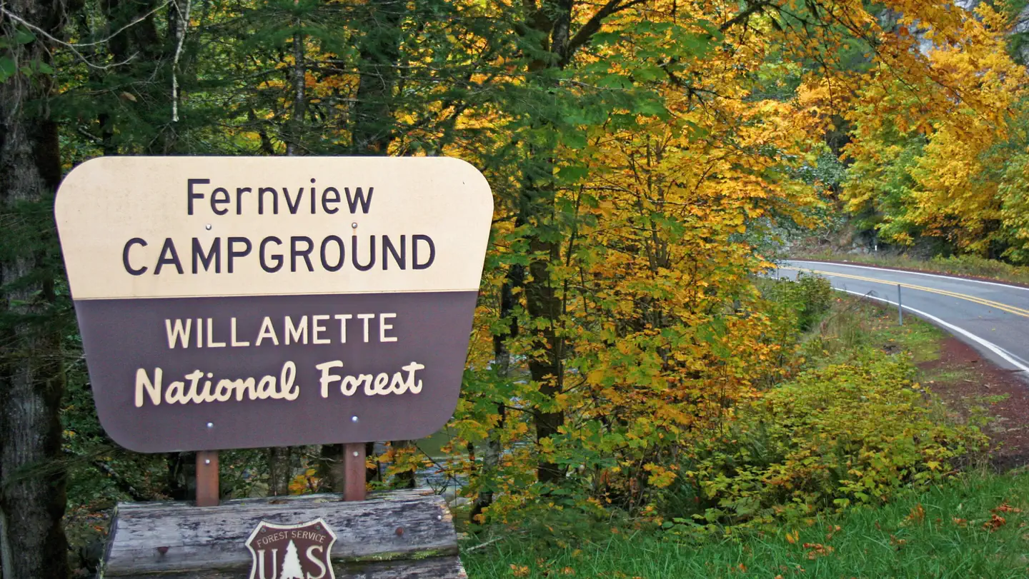
Overview The site was originally a campground that has been converted into a group area. The site is composed of 11 single campsites, of which two are tent only, with some sites able to accommodate trailers up to 22 feet in length. The campground has a capacity of 75 people. There is one accessible single vault toilet and drinking water is available via on hand pump located near the entrance and picnic area. Fernview is a small group area perched on a bench above the South Santiam River. The Rooster Rock Trail is across the highway from the group site and numerous other trails and lakes are in within a short drive. Reservations for this site can be made up to 12 months in advance of arrival date by reserving online at RECREATION.GOV or by calling 877-444-6777. Recreation Fernview Group Site is close to the Menagerie Wilderness with Trout Creek and the Rooster Rock Trails accessing Rooster Rock within the wilderness. Numerous lakes and trails are within a 45 minute drive of the site, including the Santiam Wagon Road (10 minutes), Gordon Meadows, Iron Mountain and Browder Ridge. Facilities Fernview has 11 sites, some suitable for RV's. One Hand pump provides water and there is a newer single CXT toilet on site. River access can be difficult from the campground, but is nearby via a short walk or drive. The Fernview Group Area was originally a campground that has been converted to a group site. Below are the details on the individual sites within the group site; every site has a picnic table and fire pit/grill. There is a parking area adjacent to the bathroom that can also be used for RV parking; this area is suitable for 1 large or 2 small RV's, maximum 2 RV's. Site 1: Back-in, gravel surface, 15 feet long, slight grade, suitable for tent or small camper, sits above river Site 2: Back-in, gravel surface, 30 feet long, slight grade, suitable for tent or small camper, sits above river Site 3: Back-in, gravel surface, 35 feet long, slight grade, suitable for tent or small camper, sits above river Site 4: Back-in, gravel surface, 35 feet long, slight grade, suitable for tent or small camper, sits above river Site 5: Back-in, gravel surface, 35 feet long, slight grade, suitable for tent or small camper, is adjacent to bathroom Site 6: Back-in, gravel surface, 35 feet long, slight grade, suitable for tent or small camper, sits above river Site 7: Back-in, gravel surface, 35 feet long, slight grade, suitable for tent or small camper, sits above river Site 8: Back-in, gravel surface, 35 feet long, slight grade, suitable for tent or small camper, sits above river Site 9: Back-in, gravel surface, 30 feet long, slight grade, suitable for tent or small camper, sits above river Site 10: Back-in, gravel surface, 20 feet long, hard access due to grade, suitable for tent, sits above river Site 11: Back-in, gravel surface, 20 feet long, medium grade, suitable for tent, sits above river Natural Features The group site is nestled in the trees on a bench above the South Santiam River. Nearby Attractions The Santiam Wagon Road (trail) is ten minutes from the site and provides over 20 miles of hiking, biking and horse riding opportunities. Iron Mountain is located ten miles east and known to have over 300 species of wildflowe
 10.3 km away
OR
YUKWAH CAMPGROUND
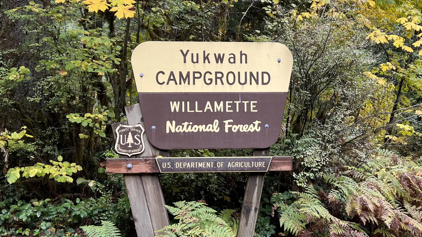
Overview There are 20 single campsites, that accommodate trailers ranging from 18 to 32 feet in length; dependent on the site. There are both reservable and FCFS campsites. Sites are spacious and private. There is a small picnic area containing barrier-free tables and fire rings. Four sites contain barrier free tables and fire rings. There are 2 single vault toilets and 1 double vault. Drinking water is provided from two hand pump wells. Yukwah Campground is tucked in a heavily wooded landscape with lichen and moss-draped alder, Douglas fir and Maple trees. Campsites are well-shaded and full of ferns and similar sub-tropical greenery. Many sites stretch along the South Santiam River and have river access. Yukwah Nature Trail is located within the campground and is wheelchair accessible. The trail follows 0.3 miles of the Sough Santiam River and accesses an ADA fishing platform. Scan and Pay might be offered at this campground; It is recommended that you pay by cash or check for FCFS campsites. There are no refunds, modifications, cancellations, or other fee changes allowed with FCFS payments. This system is the same as putting cash into a fee tube and cannot be refunded. Please download the Rec.Gov app prior to arriving at the campground as there may be no cellular service or very limited service at the campground. If no Scan & Pay option is available you must pay via cash or check. Reservations may be made up to 6 months in advance of arrival date by reserving online at RECREATION.GOV or by calling 877-444-6777. Recreation Plenty of river activities and hiking opportunities await. Enjoy fishing and swimming in the beautiful South Santiam River or hiking the accessible Yukwah Nature Trail that winds through the campground, and lingering at the picnic area. Hike or bike the Santiam Wagon Road (now a trail), a historic trail used to transport livestock east across the Cascade Mountains to central Oregon's grasslands. Iron Mountain, Gordon Meadows, and Echo Basin are nearby hiking areas well known for their colorful wildflowers. The Menagerie Wilderness can be accessed from the Trout Creek Trail (1/4 mile from campground) where hikers can reach the top of Rooster Rock and enjoy views of the river valley (5.6 miles round trip). An accessible hike leaves from the same trailhead and takes visitors to the Walton Ranch Platform with views of the Walton Meadow (1/8 mile round trip). Facilities This is a smaller campground with a variety of sites to accommodate different uses, with double sites, sites for trailers and sites for tents. Drinking water is from two hand pump wells. Parking spurs are gravel and roads are paved. Vault toilets and garbage cans are spread out in convenient locations in the campground. Campfire wood is not readily available at the park. Please plan to bring firewood or purchase from a nearby vendor. Linn County Parks staff, may occasionally, come through the park with firewood available for purchase. Natural Features Yukwah Campground is tucked in a heavily wooded landscape with lichen and moss-draped alder, Douglas fir and Maple trees. Campsites are well-shaded and full of ferns and similar sub-tropical greenery. Many sites stretch along the South Santiam River and have river access. Nearby Attractions Hike or bike the Santiam Wagon Road (now a trail), a historic trail used to transport livestock east across the Cascade Mountains to central Oregon's grasslands. Iron Mountain, Gordon Meadows and Echo Basin are nearby hiking areas well known for their colorful wildflowers.
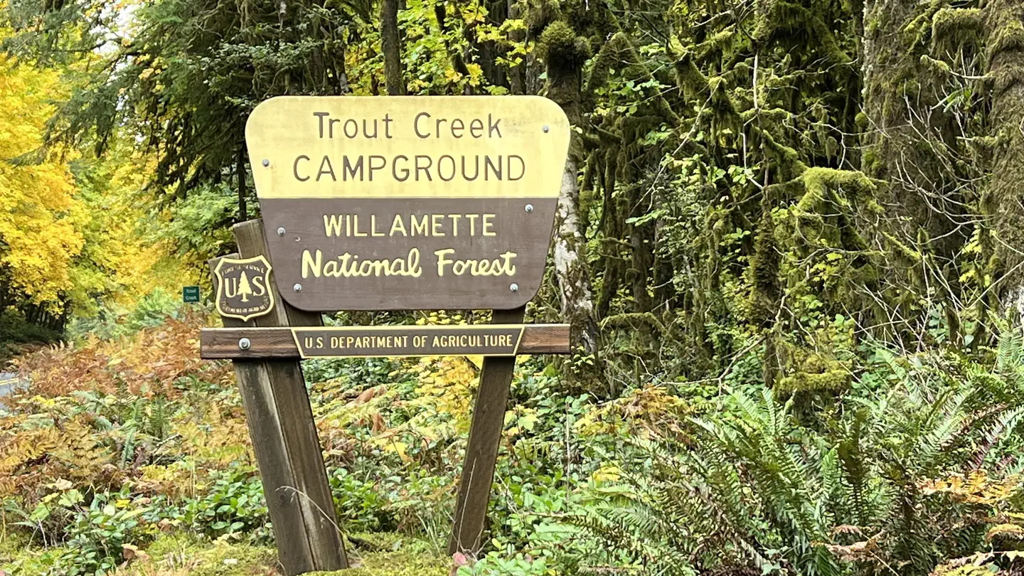 10.9 km away
OR
Trout Creek Campground - Willamette (OR)
Overview There are 24 sites on a single loop with four RV pull-throughs ranging from 24 to 40 feet. There are both reservable and FCFS campsites. There are two double vault accessible toilets and one accessible single vault toilet. Drinking water is available from one hand pump well. The Civilian Conservation Corps constructed the campground in the 1930's, which includes a day use picnic shelter with fireplace that is centrally located along with tables and BBQ grill; there is nearby river access in this day use area. There are about 3-5 spots for parking depending on the size of the vehicles. Scan and Pay might be offered at this campground; It is recommended that you pay by cash or check for FCFS campsites. There are no refunds, modifications, cancellations, or other fee changes allowed with FCFS payments. This system is the same as putting cash into a fee tube and cannot be refunded. Please download the Rec.Gov app prior to arriving at the campground as there may be no cellular service or very limited service at the campground. If no Scan & Pay option is available you must pay via cash or check. Reservations may be made up to 6 months in advance of arrival date by reserving online at RECREATION.GOV or by calling 877-444-6777. Recreation Wading and fishing are popular in the river and hikers enjoy easy access to the 2.8-mile Trout Creek Trail and the short Walton Ranch Interpretive Trail. The Menagerie Wilderness can be accessed from the Trout Creek Trail, so hikers and backpackers can explore the area's extensive system of trails. Facilities Drinking water is from a hand pump well. There are three vault restrooms available in the park. Parking spurs are gravel and roads are paved. Campfire wood is not readily available at the park. Please plan to bring firewood or purchase from a nearby vendor. Linn County Parks staff, may occasionally, come through the park with firewood available for purchase. Natural Features Trout Creek is tucked in a heavily wooded landscape with lichen and moss-draped Alder, Douglas fir, Hemlock, and Maple trees. Campsites are well-shaded and full of ferns and similar sub-tropical greenery. Many sites stretch along the South Santiam River, a 66-mile tributary of the Santiam River. Nearby Attractions The Menagerie Wilderness and Trout Creek Trail is located directly across from Trout Creek Campground. To the west, is the historic Long Ranch and now an Elk Refuge. A short wheelchair-accessible trail is located directly across Highway 20 from the campground and accesses a wildlife viewing platform that overlooks the ranch. Nearby is the Old Santiam Wagon Road that stretches along the Highway 20 corridor.
 11.0 km away
OR
LOST PRAIRIE GROUP SITE
Overview This site was originally a campground that has been converted to a group site with a 75-person capacity limit. There are 10 individual campsites. Sites #1-4 are back-in, paved surface sites suitable for tents and accommodating of trailers ranging up to 42 feet long depending on the site. Sites #5 -10 were originally walk-in sites less that 60 feet from the main area which can still be utilized for tents. Each individual site has a picnic table and fire pit. There is a paved parking area which can be used for RV parking with capacity for up to 6 RV's There are two double vault toilets, one behind site #1 and an accessible one near the parking area. Drinking water is available from a handpump well at the front of the campground. Lost Prairie Group Site is located along the Over the Rivers and Through the Woods Scenic Byway and is nestled among the forest in the Cascades at an elevation of 3600 feet. Lost Prairie is only 15 minutes from the McKenzie River National Scenic Trail and Clear Lake. Numerous other trails and lakes are close by as well. Reservations may be made up to 12 months in advance of arrival date by reserving online at RECREATION.GOV or by calling 877-444-6777. Recreation Lost Prairie Group Site is close to numerous hiking and boating opportunities. The McKenzie River trail, Iron Mountain, Echo Basin, Crescent Mountain and Browder Ridge trails are all within a fifteen minute drive. Clear Lake, Smith Reservoir and Suttle Lake are all close by and offer boating and fishing opportunities. Facilities One hand pump provides water and there is a newer double CXT toilet on site and an older outhouse near site 1. The creek can be accessed from the campground easily. The Lost Prairie Group Area was originally a campground that has been converted to a group site. If this area is not reserved as a group site, sites 1-4 are available on a first come, first serve basis. Below are the details on the individual sites within the group site; every site has a picnic table and fire pit/grill. There is a parking area originally designed for the walk in sites that can be used for RV parking; this area is suitable for 3 large or 5 small RV's, maximum 6 RV's. Site 1 Back-in, paved surface, 42 feet long, flat grade, suitable for tent or small camper Site 2 Back-in, paved surface, 30 feet long, slight grade, suitable for tent or small camper Site 3 Back-in, paved surface, 17 feet long, slight grade, suitable for tent or small camper Site 4 Back-in, paved surface, 15 feet long, slight grade, suitable for tent or small camper Site 5 -10 were originally walk-in sites. Walk is less than 60 feet. Tents may be set up in area where original sites were located. Parking area can be used for autos using walk-in area and RV's. Campfire wood is not readily available at the park. Please plan to bring firewood or purchase from a nearby vendor. Linn County Parks staff, may occasionally, come through the park with firewood available for purchase. Natural Features The group site is nestled in the trees and Hackleman Creek flows through the back of the site. There are many wildflowers blooming in the prairie during the summer. Nearby Attractions Lost Prairie Group Site is close to numerous hiking and boating opportunities. The McKenzie River trail, Echo Basin, Crescent Mountain, and Browder Ridge trails are all within fifteen minutes drive. Clear Lake, Smith Reservoir and Suttle Lake are all close by and offer boating and fishing opportunities. Clear Lake Resort is just down the road from Lost Prairie Group Site on Hwy 126 with a restaurant, boat rentals and excellent hiking. It is unique and well known for its clarity and standing dead trees created by the eruption of Sand Mountain. The West Cascades Scenic Byway and Santiam Pass-McKenzie Pass Scenic Byway are in close proximity to the site. Nume
 Britz HiTopCampervan
 Maui UltimaCampervan
 Jucy CoasterCampervan
Hitting the road? Rent the rig, not just the gear.
Compare live prices across Britz, Maui, Apollo, Jucy & more — campervans and motorhomes, one-way hires included.
Compare & bookPlan your visit
Save it, check the weather, map your route
Nearby Fuel
Campsite Explorer
Find Your Next Campsite
Share Your Experience
Help fellow campers by sharing your photos and reviews.
Own This Campsite?
Claim your listing to manage information, respond to reviews, and update details.
Sevenmile