Ponderosa (Az)
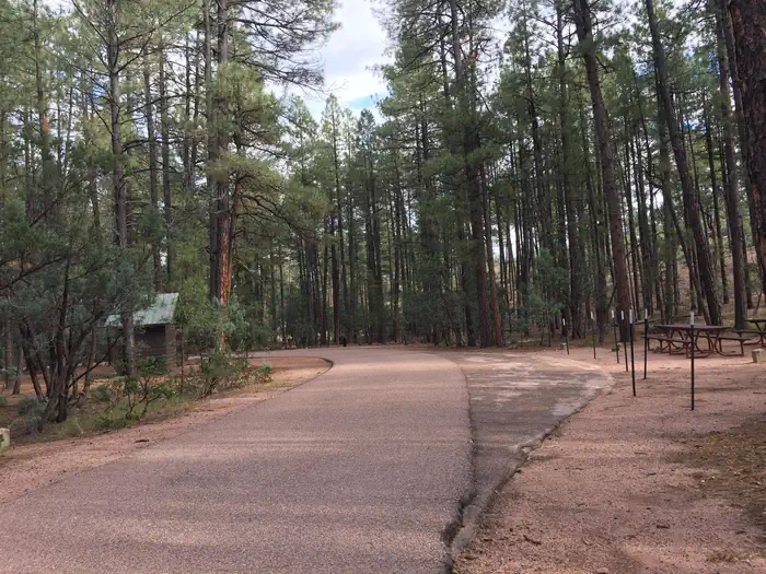
Ponderosa (Az)
About this campsite
Overview
Named for the towering pines under which it sits, Ponderosa Campground is tucked in the rolling forests of northern Arizona. As one of the largest forest in the country, the Tonto National Forest is one of the most-visited urban forests in the United States, boasting about 5.8 million visitors annually. Its boundaries are Phoenix to the south, the Mogollon Rim to the north and the San Carlos and Fort Apache Indian reservations to the east.
While this campground did undergo a timber sale a few years ago it still has many ponderosa trees that will be stronger and healthier for future generations to enjoy.
Recreation
Take advantage of the area's hiking/biking trails and lakes or simply relaxing at the campsite. Scenic driving and outdoor recreation abound in the surrounding Tonto National Forest. A series of lakes called the Rim Country Lakes are about a 15 minute drive east. Woods Canyon Lake is one of the most popular recreational lakes in the state and offers options for boating.
Facilities
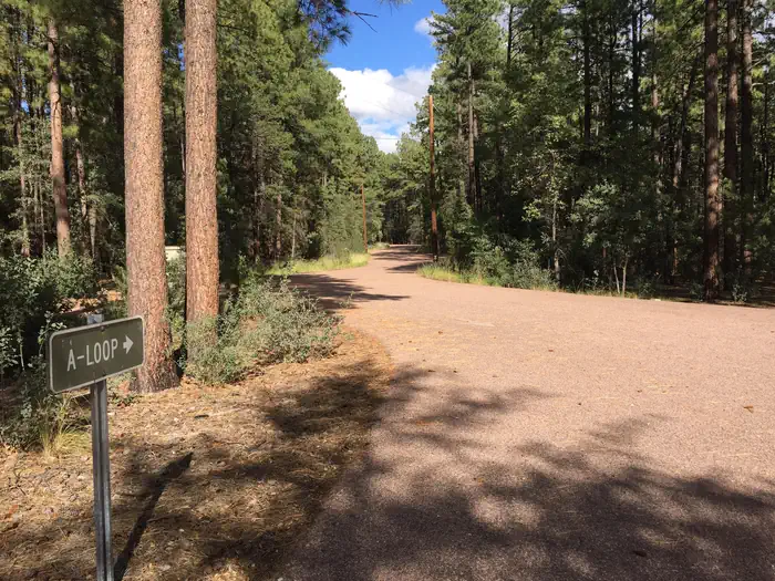
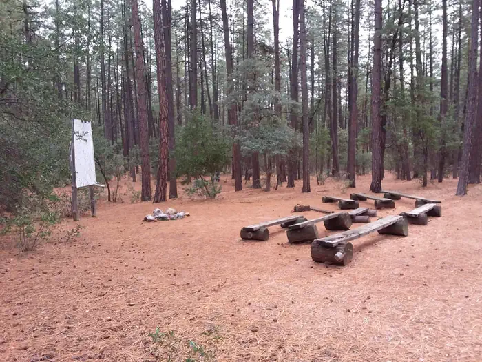
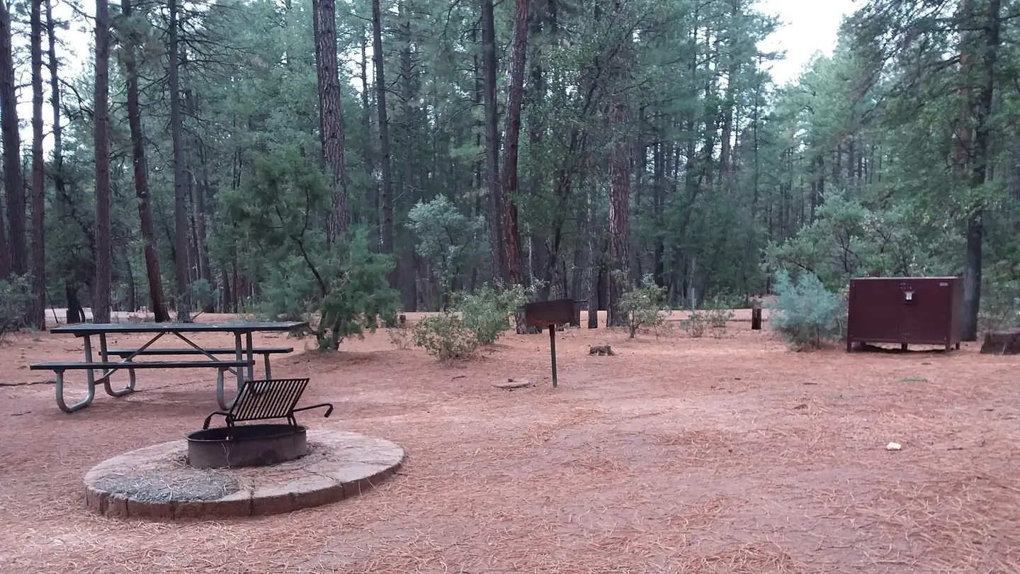
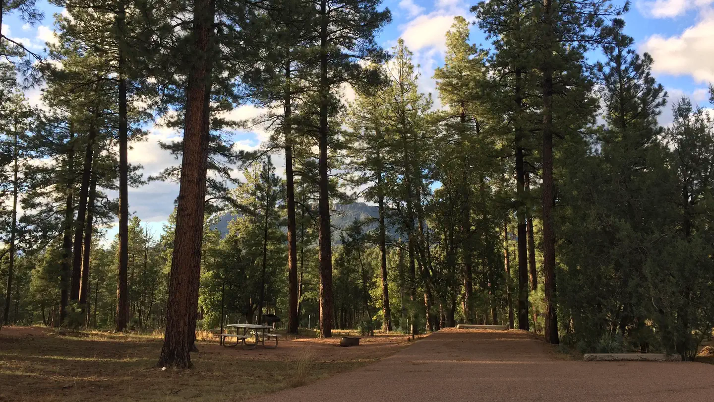
The facility provides 48 single campsites and two group sites that can accommodate up to 25 people guests each. The campsites are clean, flat and spacious with a good amount of shade from pine trees.
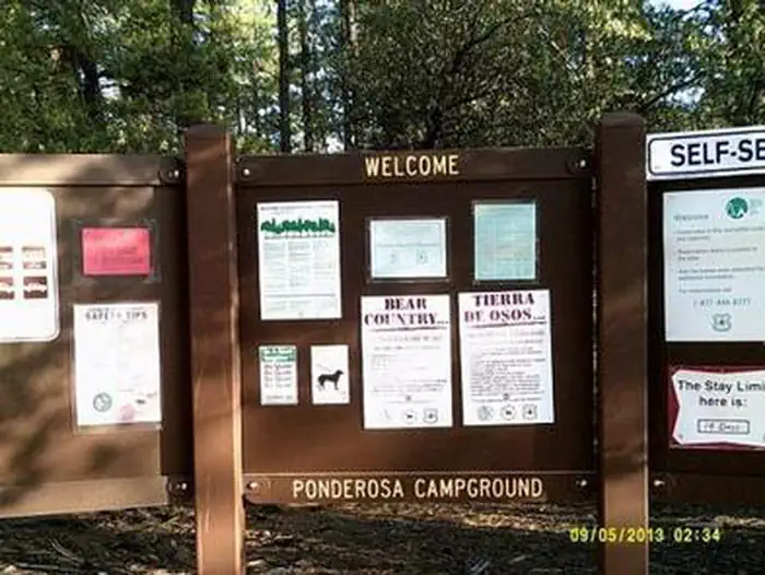
In addition, first-come, first-serve sites are available with payment completed using the on-site fee machine. No cash is accepted.
Check-In is 2:00 pm
Check-Out is 11:00 am
Natural Features
The ponderosa pine trees make this a memorable campground. Larger ponderosas release a vanilla scent into the air and have a relatively open understory, making the area perfect for camping. Mixed into the understory are junipers, oaks and manzanita shrubs.The campground sits on the border of the Mogollon Rim, pronounced by locals as "muggy-own," a 200-mile-long cliff in northern Arizona that ranges between 5,000 and 7,000 feet in elevation. The unique landscape was created by extreme erosion and faulting that has sculpted spectacular canyons and buttes. The rim serves as the geographical dividing line between the cool high country above and the hot, dry desert below.
Contact Info
For facility specific information, please call (928) 474-7900.Nearby Attractions
The nearby town of Payson, Arizona, offers restaurants, shopping and other conveniences.Location
PONDEROSA (AZ)•AZ
Weather Forecast
via Open-MeteoNearby Campsites
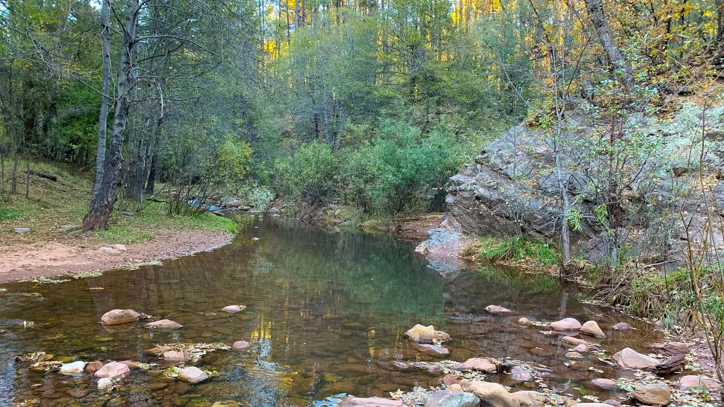 4.1 km away
AZ
Lower Tonto Creek
Overview The Lower Tonto Creek Campground is tucked away right next to the main highway just south of where the Tonto and Horton Creeks merge. Families may enjoy fishing at both Tonto and Horton Creeks or pass time hiking through nearby Horton Creek Trail or Derrick Trail. The Lower Tonto Creek Campground has a large open-space parking lot and paved walkway makes it accessible with only a light hike to the creek. This location is available on a first-come, first-served basis only. Visitors are required to physically arrive at the campground to purchase and claim a site. Once on-site, you will be able to pay for your campsite(s) by scanning a QR code using the Recreation.gov mobile app, and the Scan and Pay feature. You will need to first download the free Recreation.gov mobile app https://www.recreation.gov/mobile-app prior to your arrival as this area has limited or no cellular service. There is no adjacent parking spot to any camp site. Walk-in access only to all campsites (paved sidewalk is provided). Map to campground here . Please note: This campground is right next to Hwy 260 and receives a considerable amount of traffic noise and light throughout the day & night. Recreation The union of Tonto and Horton Creeks is at the north end of the Upper Tonto Creek campground. Fishing in both creeks is a popular sport. The trailheads for Horton Creek Trail 285 and Derrick Trail 33 are located in the Upper Tonto Creek campground. Both of these trails access the Highline National Recreation Trail (#31 Natural Features Located just South of where the Tonto and Horton Creeks merge. Campsites are dotted along a paved sidewalk surrounded by tall Pines, situated just next to Tonto Creek. Please note: This campground is right next to Hwy 260 and receives a considerable amount of traffic noise and light throughout the day & night.
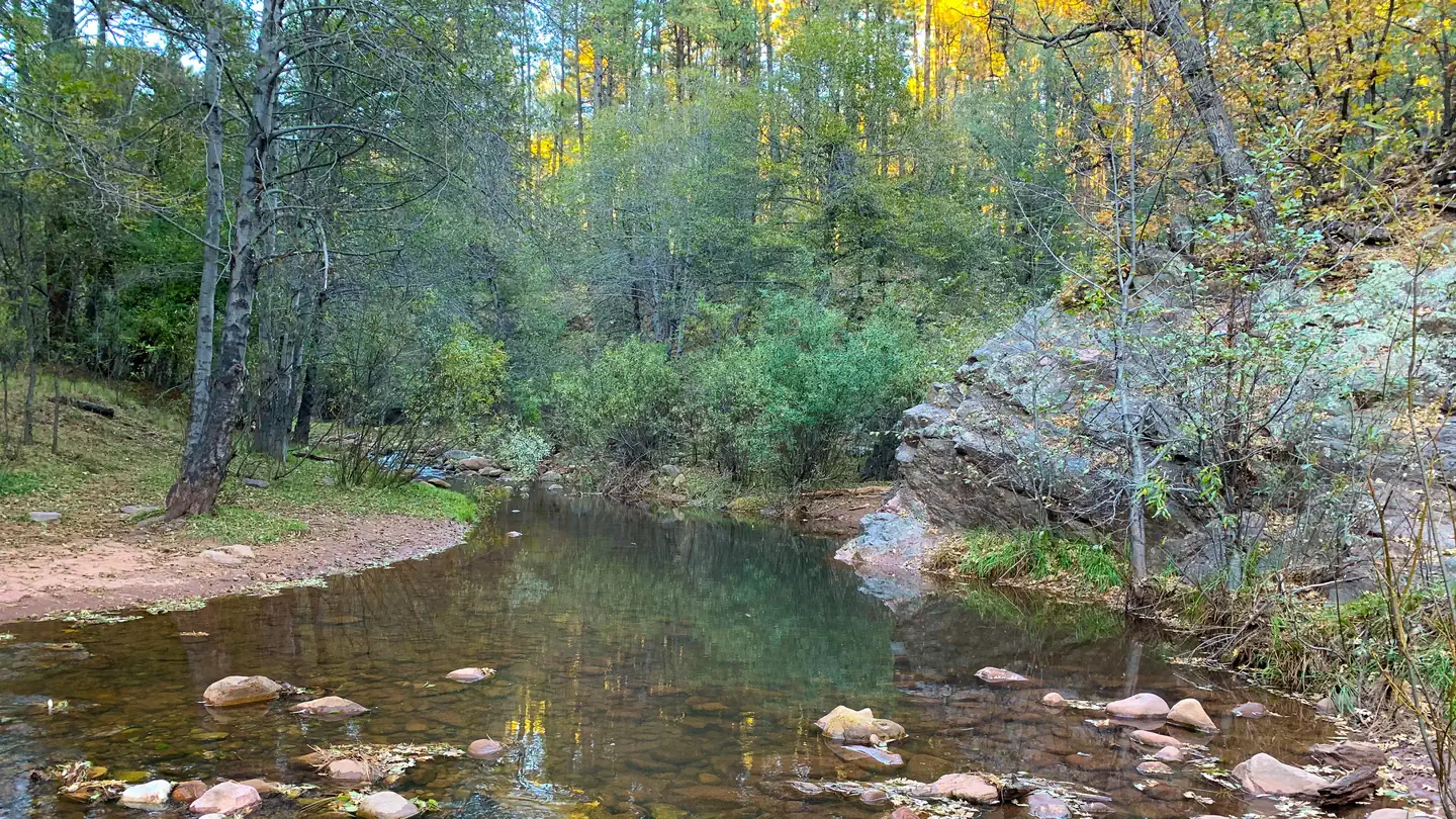 4.9 km away
AZ
Upper Tonto Creek
Overview The Upper Tonto Creek is a small campground tucked away from the main highway where the Tonto and Horton Creeks merge. 6 Campsites are available for reservation only. This location is available only through reservation May 1through November 3rd. Campground map available here . Recreation Families may enjoy fishing at both Tonto and Horton Creeks or pass time hiking through nearby Horton Creek Trail or Derrick Trail. Both of these trails access the Highline National Recreation Trail (#31). Facilities This campground contains 6 campsites, 3 picnic sites, and a double vault toilet. Natural Features The union of Tonto and Horton Creeks is at the north end of the Upper Tonto Creek campground. Fishing in both creeks is a popular sport. Contact Info This location is unstaffed. To speak with our main office for general information, please call: (928) 474-7900.
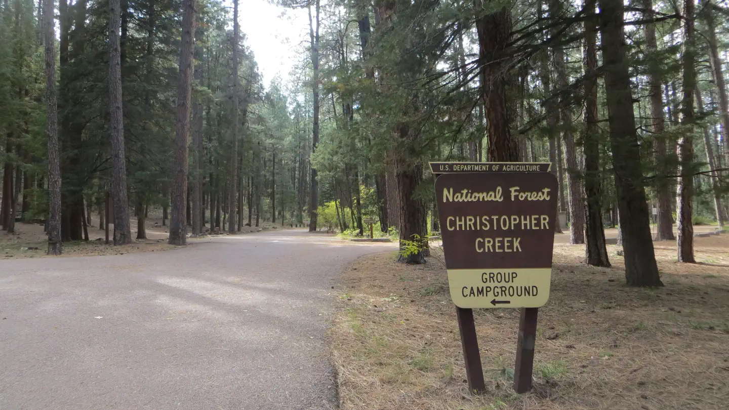 7.4 km away
AZ
CHRISTOPHER CREEK
Overview With an elevation of 5640 ft, Christopher Creek Campground's crisp, fresh air and vibrant views are a joy to behold. The campground is tucked along the banks of the spring-fed Christopher Creek, which passes just below the Mogollon Rim. This campground is typically open April-November. The Mogollon Rim, pronounced by locals as "muggy-own," is a 200-mile long cliff in northern Arizona that ranges between 5,000 and 7,000 ft in elevation. The unique landscape was created by extreme erosion and faulting that has sculpted spectacular canyons and buttes. The rim serves as the geographical dividing line between the cool high country above and the hot, dry desert below. Christopher Creek is located in the desert portion, but is balanced by the cool waters of the creek and forested surroundings. Recreation After a day of exploring the natural beauty of Rim Country, sit back and relax in the shaded Ponderosa Pine Forest. Each spring, the creek is stocked with rainbow trout, allowing anglers the opportunity to cast their hearts out for rainbows as well as brook and brown trout. Access the National Recreation Highline trail close by. Facilities The family-friendly campground has 43 sites on both sides of the creek, plus a group site that accommodates a maximum of 25 people. Most sites in this campground are reservable with only a few First come First serve sites, for first-come-first-served customers with payment completed using the on-site fee machine. No cash is accepted. There is a separate day use/picnic area within the campground. Please note if you park and use this area it is a separate fee, covered under the Tonto Pass program. Natural Features Christopher Creek provides creek side dwelling in Tonto National Forest, at the base of the Mogollon Rim. Sites are surrounded by ponderosa pines, junipers, oaks and manzanita evergreen shrubs. Nearby Attractions The small town of Christopher Creek is just a short drive away and offers a few restaurant options for those who tire of cooking at the campground.. A series of lakes called the Rim Country Lakes are about a 10 minute drive east. Woods Canyon Lake is one of the most popular recreational lakes in the state and offers options for boating as well as a nature trail that loops around the lake's perimeter. Contact Info For facility specific information, please call (928) 474-7900.
 10.7 km away
AZ
SHARP CREEK
Overview Sharp Creek is a small campground located in an area of central Arizona known for its pleasant temperatures, spectacular scenery and outdoor recreation. There are tent-only, family and group sites to accommodate a wide range of visitors. Recreation The campground is in a central location for hiking, fishing, boating and picnicking. Anglers can try for trout in nearby Christopher Creek. Hikers and Mountain Bikers can access the National Recreation Highline Trail, which spans 63 miles along the base of the Mogollon Rim, from the 260 Trail three miles east of the campground. Two lakes nearby offer additional fishing and boating options. Facilities Sharp Creek is a small campground with 28 campsites conveniently spread out into 3 loops. Campsites are spacious, comfortable and well-maintained, with some shade. Each has a picnic table, grill, campfire ring and lantern holder. One additional loop contains three group campsites that can each accommodate 75 people. 19 Sites are reservable and 9 sites are first-come, first-serve. Payment for first-come, first-serve sites is completed using the on-site fee machine. No cash is accepted. Natural Features Sharp Creek sits at a cool 6,000 feet elevation, perfect for escaping the desert heat of southern Arizona and getting away to shaded forests and refreshing creeks and lakes. It is surrounded by a thick ponderosa pine forest below the Mogollon Rim. The clear waters of Christopher Creek are less than a mile away. The Mogollon Rim, pronounced by locals as "muggy-own," is a 200-mile long cliff in northern Arizona that ranges between 5,000 and 7,000 feet in elevation. The unique landscape was created by extreme erosion and faulting that has sculpted spectacular canyons and buttes. The rim serves as the geographical dividing line between the cool high country above and the hot, dry desert below. Contact Info For facility specific information, please call (928) 474-7900. Nearby Attractions The small town of Christopher Creek is less than a mile away and has a few restaurant and shopping options for basic conveniences. Woods Canyon and Willow Springs Lakes sit above the Mogollon Rim, only a 10-minute drive away, and offer boating and fishing. The National Recreation Highline Trail is just a few miles east on Highway 260.
 13.0 km away
AZ
Fr 9350 Campground
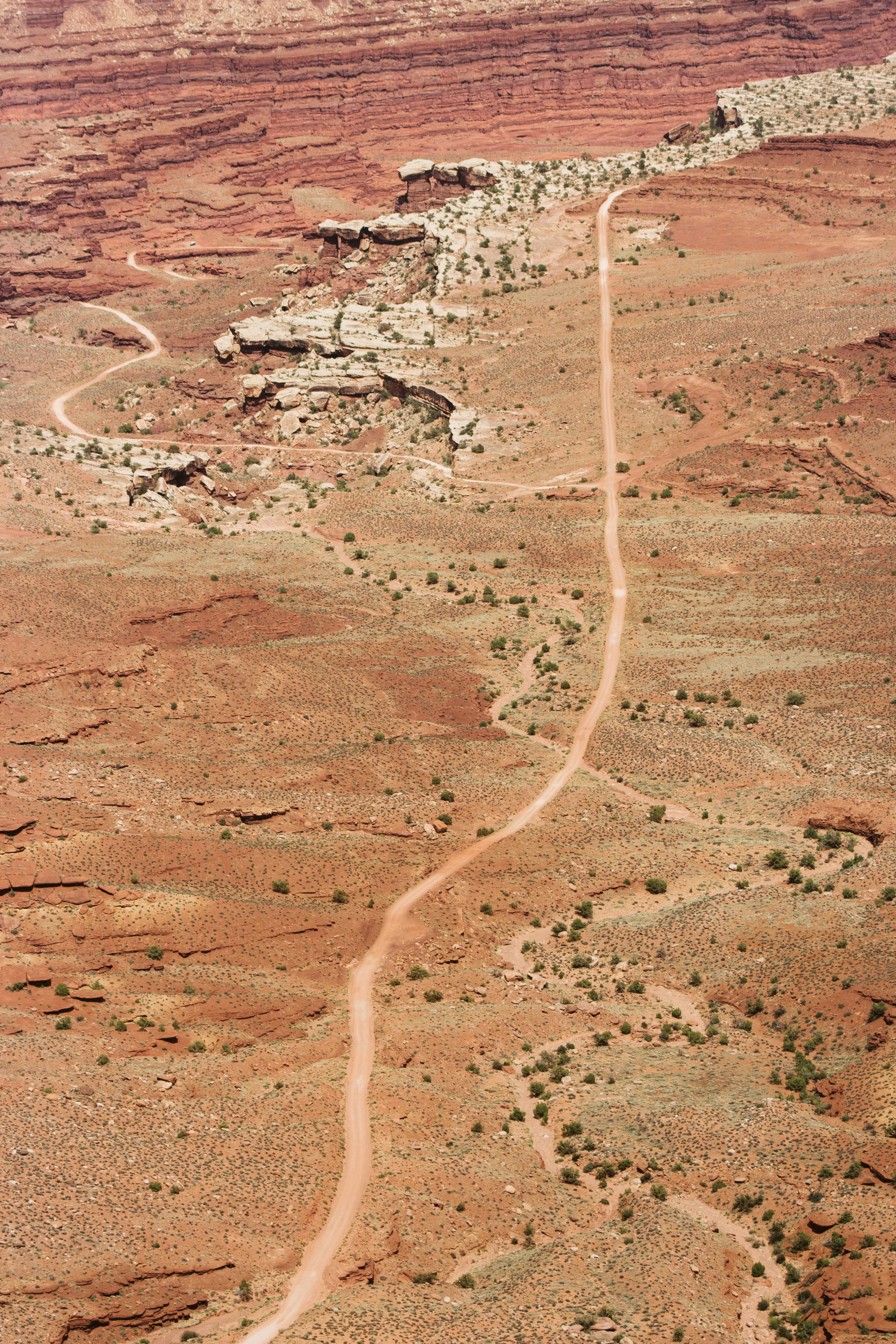
Dispersed Camping Area. Vault toilet is located at entrance to campground at the Carr Lake Trail Head. This camping area is located immediately adjacent to the Mogollon Rim Escarpment and several campsites are bordered by a 200' vertical drop. This area is not recommended for families with young children or people who are uneasy with heights.
 Britz HiTopCampervan
 Maui UltimaCampervan
 Jucy CoasterCampervan
Hitting the road? Rent the rig, not just the gear.
Compare live prices across Britz, Maui, Apollo, Jucy & more — campervans and motorhomes, one-way hires included.
Compare & bookPlan your visit
Save it, check the weather, map your route
Nearby Fuel
Campsite Explorer
Find Your Next Campsite
Share Your Experience
Help fellow campers by sharing your photos and reviews.
Own This Campsite?
Claim your listing to manage information, respond to reviews, and update details.
PONDEROSA (AZ)