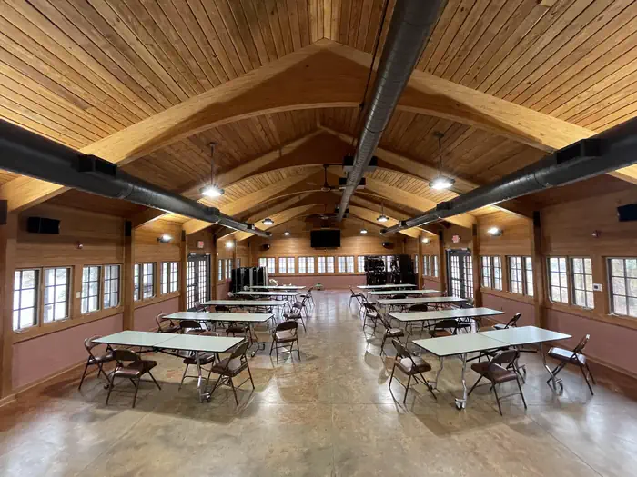
Oak Bower Group Use Area
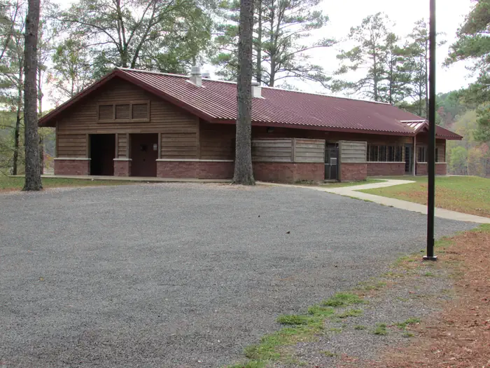
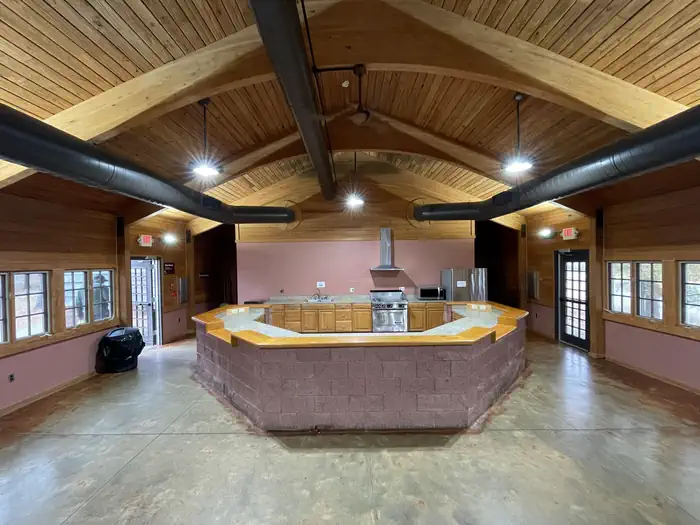
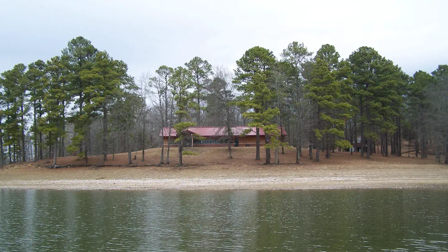
Oak Bower Group Use Area
About this campsite
Overview
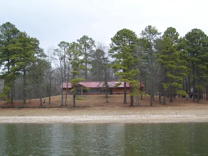
Unique to the U.S. Army Corps of Engineers, Oak Bower is located along the Bill Hill Creek arm of DeGray Lake. This quality group use camping facility offers sleeping cabins, a large dining hall and kitchen, shower houses and playground equipment. Oak Bower is an ideal location for family reunions, company retreats and large group outings. For more information or to schedule a tour call 870-246-5501. To see USACE DeGray Lake Virtual Tour click here
Recreation
Boating, water skiing, kayaking and other water sports are the biggest draw to the lake.
The lake is also stocked with a variety of game fish, including plenty of hybrid striped bass, making it an ideal area for both boat and bank fishing.
Numerous hiking and bike riding trails wind around the lake shore, including the Arlie Moore Interpretive Trail which is located a short drive away.
Facilities
ITEMS GROUPS WILL NEED
1. Food
2. Sleeping apparel, including bedrolls, air mattresses, pillows and blankets.
3. Cookware, dishwashing soap, plates, glasses and dishes.
4. Lawn chairs, flashlights, first aid kit and radios.
FURNISHED BY THE CORPS
1. Seven sleeping shelters (4 bunks each) with heat and air conditioning units.
2. Dining Hall and full Kitchen that seats up to 150 people.
3. Restrooms and showers.
4. Drinking fountain.
5. Jug filler fountains.
6. Group size grill.
7. Internet access in dining facility.
Natural Features
Degray Lake is one of the region's five Diamond Lakes, known for their crystal clear waters. The lake flows from the Caddo River in western Arkansas and spans 13,500 surface acres.
Nearby Attractions
The DeGray Lake Resort State Park offers golf courses, tennis courts, horseback riding trails and more along the 207 miles of lake shoreline.
The Ouachita National Forest and Hot Springs National Park are both located nearby.
Location
Oak Bower Group Use Area•AR
Weather Forecast
via Open-MeteoNearby Campsites
 2.0 km away
AR
ARLIE MOORE
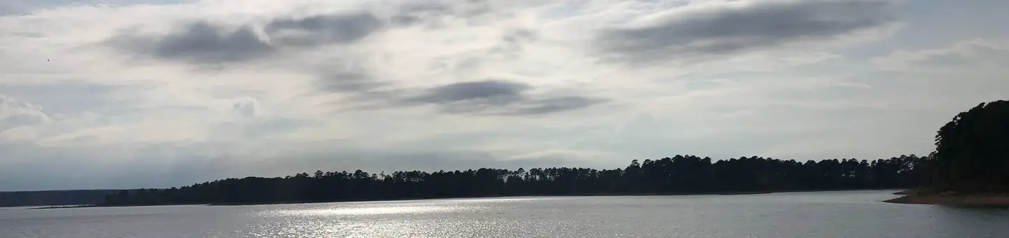
Overview Arlie Moore Campground sits on the northern banks of DeGray Lake in the foothills of the Quachita Mountains. Hikers find Arlie Moore particularly inviting. In past years, the National Recreation Reservation Service selected the Arlie Moore Interpretive Trail as one of America's Top 25 Hiking Trails. Recreation Boating, water skiing, kayaking and other water sports are the biggest draw to the lake, and a boat ramp and swimming beach are provided. The lake is also stocked with a variety of game fish, including plenty of hybrid striped bass, making it an ideal area for both boat and bank fishing. Numerous hiking and bike riding trails wind around the lake shore, including the Arlie Moore Interpretive Trail. Facilities All campsites come with electric hookups. The park also has a swimming beach, amphitheater, playground, flush toilets and hot showers. To see USACE DeGray Lake Virtual Tour, click here. Natural Features Degray Lake is one of the region's five Diamond Lakes, known for their crystal clear waters. The lake flows from the Caddo River in western Arkansas and spans 13,500 surface acres. Nearby Attractions The DeGray Lake Resort State Park offers golf courses, tennis courts, horseback riding trails and more along the 207 miles of lake shoreline. The Ouachita National Forest and Hot Springs National Park are both located nearby.
 2.3 km away
AR
Arlie Moore Day Use
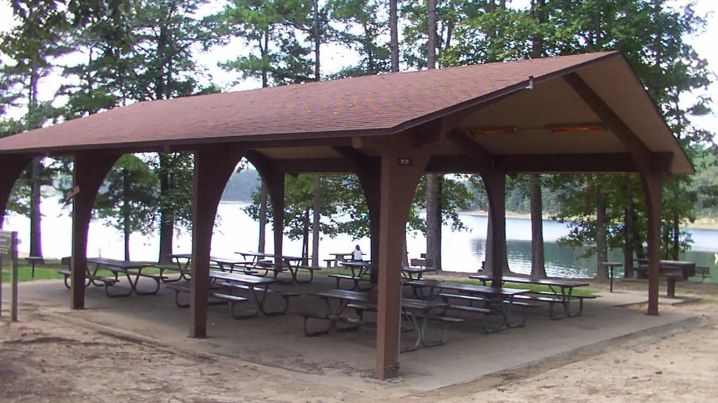
Overview Arlie Moore Campground and Day Use Area sits on the northern banks of DeGray Lake in the foothills of the Quachita Mountains. Hikers find Arlie Moore particularly inviting. In past years, the National Recreation Reservation Service selected the Arlie Moore Interpretive Trail as one of America's Top 25 Hiking Trails. Recreation Boating, water skiing, kayaking and other water sports are the biggest draw to the lake, and a boat ramp and swimming beach are provided. The lake is also stocked with a variety of game fish, including plenty of hybrid striped bass, making it an ideal area for both boat and bank fishing. Numerous hiking and bike riding trails wind around the lake shore, including the Arlie Moore Interpretive Trail. Facilities Arlie Moore offers a mix of RV, standard and tent-only campsites, each with electric hookups. Other amenities include flush toilets, heated showers, a boat ramp, swimming beach, interpretive trail, and a reservable group use shelter. The Arlie Moore Interpretive Trail is located in the Arlie Moore Recreation Area. The trail is a double segment loop, approximately 1.3 miles (2.2 kilometers) in length. The trail meanders through a mature southern pine forest. In 2002, the trail was rehabilitated in large part due to a partnership grant from ALCOA. To see USACE DeGray Lake Virtual Tour, click here Natural Features Degray Lake is one of the region's five Diamond Lakes, known for their crystal clear waters. The lake flows from the Caddo River in western Arkansas and spans 13,500 surface acres. Nearby Attractions The DeGray Lake Resort State Park offers golf courses, tennis courts, horseback riding trails and more along the 207 miles of lake shoreline. The Ouachita National Forest and Hot Springs National Park are both located nearby.
 3.0 km away
AR
Lenox Marcus Camp Grounds
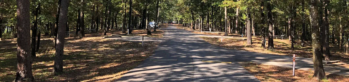
Campground: Lenox Marcus Camp Grounds. Operated by DeGrey Lake Wildlife Management and US Armp Corps of Engineers.
 3.4 km away
AR
CADDO DRIVE
Overview Caddo Drive Campground sits along the pristine shores of Degray Lake in the foothills of the Quachita Mountains. The area offers stunning scenery and panoramic views, and Caddo was awarded one of Americas Top 25 Scenic Views. Recreation DeGray Lake hosts thousands of professional fishing tournaments, triathlons and it is one of the most popular swimming destinations in the region. The area is also ideal for boating and jet skiing. Facilities Caddo Drive offers a mix of RV, standard and tent-only campsites, each with electric hookups. Other amenities include flush toilets, heated showers, a boat ramp and swimming beach. To see USACE DeGray Lake Virtual Tour, click here. Natural Features The campground is situated on a tree-covered ridge that joins a bluff. Degray Lake encompasses 13,500 water acres, with 207 miles of shoreline and an average depth of 47 feet. Nearby Attractions The DeGray Lake State Resort Park lies on the northern shores of the lake, and kayaking tours, golf, tennis courts and a horseback riding trail are available.
 3.5 km away
AR
Caddo Drive Day Use
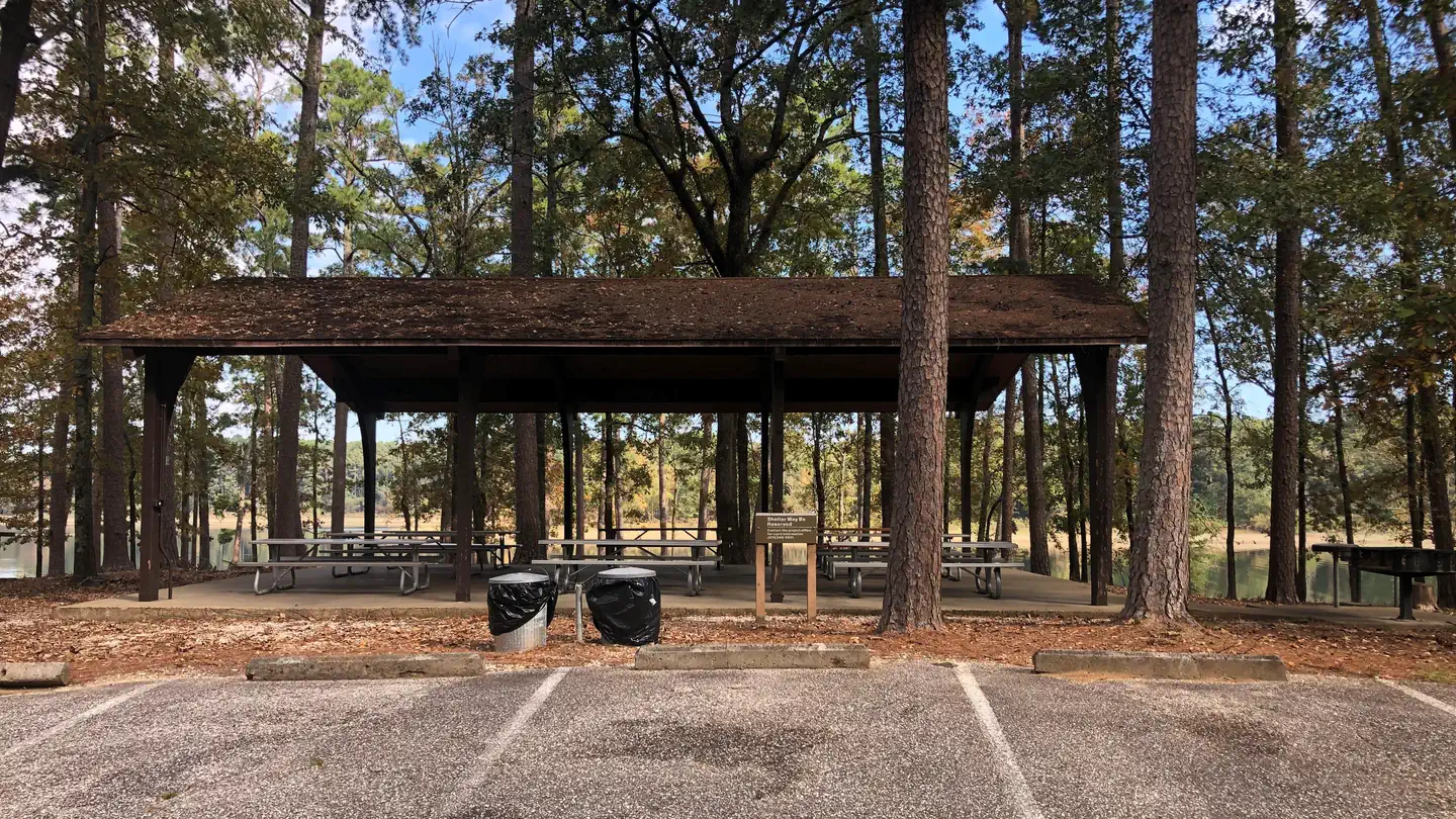
Overview Caddo Drive Campground and Day Use area sits along the pristine shores of Degray Lake in the foothills of the Quachita Mountains. The area offers stunning scenery and panoramic views, and Caddo was awarded one of Americas Top 25 Scenic Views. Recreation DeGray Lake hosts thousands of professional fishing tournaments, triathlons and it is one of the most popular swimming destinations in the region. The area is also ideal for boating and jet skiing. Facilities Caddo Drive offers a mix of RV, standard and tent-only campsites, each with electric hookups. Other amenities include flush toilets, heated showers, a boat ramp, swimming beach, and a reservable group use shelter. To see USACE DeGray Lake Virtual Tour, click here Natural Features The pavilion is situated on a tree-covered ridge that joins a bluff. Degray Lake encompasses 13,500 water acres, with 207 miles of shoreline and an average depth of 47 feet. Nearby Attractions The DeGray Lake State Resort Park lies on the northern shores of the lake, and kayaking tours, golf, tennis courts and a horseback riding trail are available.
 Britz HiTopCampervan
 Maui UltimaCampervan
 Jucy CoasterCampervan
Hitting the road? Rent the rig, not just the gear.
Compare live prices across Britz, Maui, Apollo, Jucy & more — campervans and motorhomes, one-way hires included.
Compare & bookPlan your visit
Save it, check the weather, map your route
Nearby Fuel
Campsite Explorer
Find Your Next Campsite
Share Your Experience
Help fellow campers by sharing your photos and reviews.
Own This Campsite?
Claim your listing to manage information, respond to reviews, and update details.
Oak Bower Group Use Area