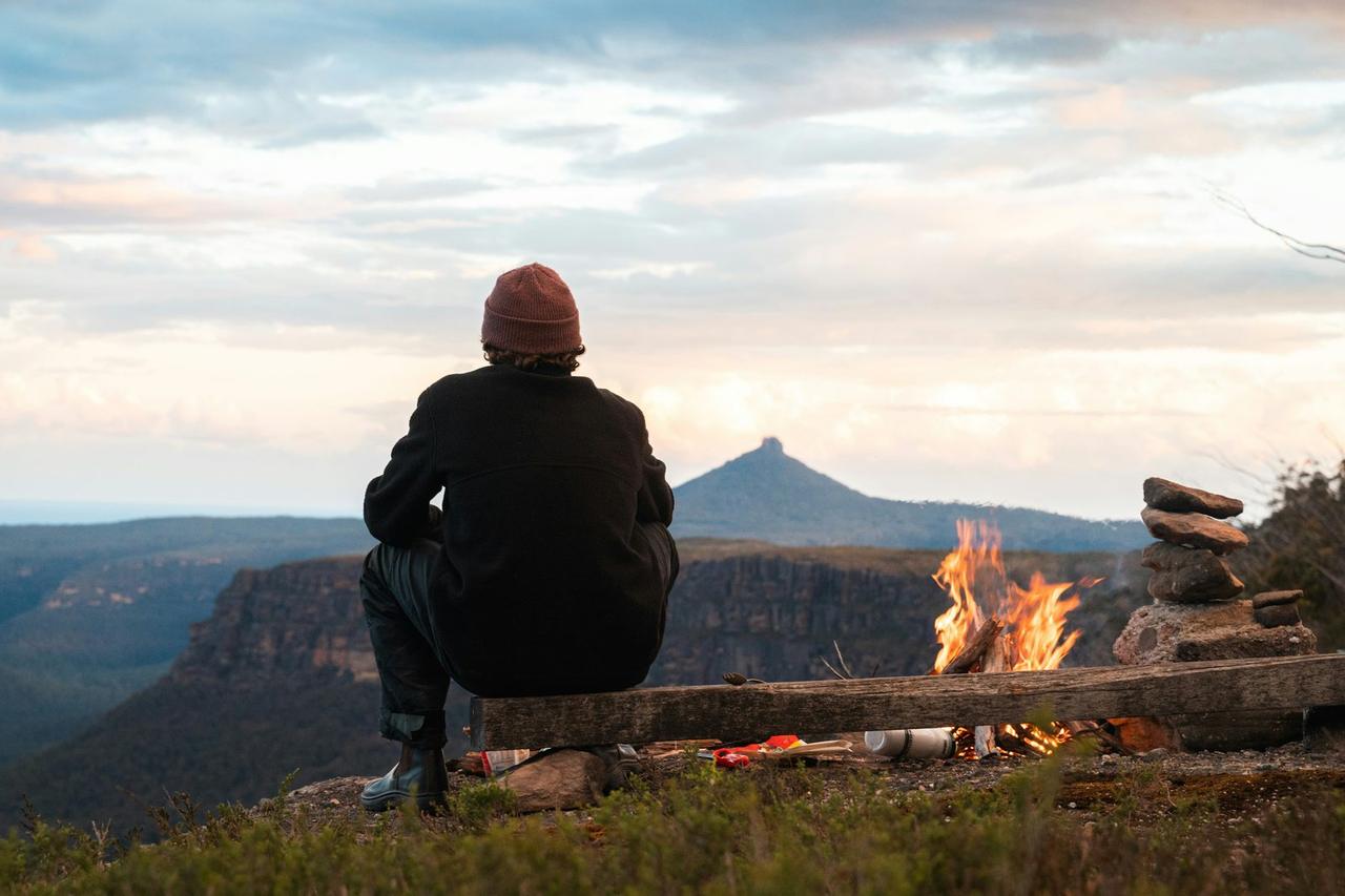
Grass Shack
Grass Shack
Book online
Check rates and reserve your stay through the operator's booking page.
About this campsite
What this place offers
Amenities
Accommodation Types
Location
Grass Shack•AZ
Weather Forecast
via Open-MeteoNearby Campsites
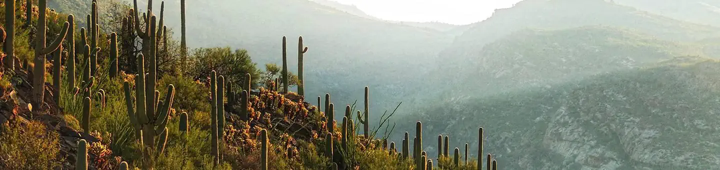 2.0 km away
AZ
Saguaro National Park Wilderness Permits
Overview Wilderness campgrounds are the ONLY campgrounds in Saguaro National Park. For fit hikers interested in backpacking a minimum of 4.4 miles (7 km) into the rugged Rincon Mountains, six wilderness campgrounds are available. The Rincon Mountains in Saguaro National Park rise out of the Sonoran Desert to over 8000 feet (2438 m) in elevation and host vegetative communities ranging from desert cacti, desert grasslands, and oak woodlands, to mixed conifer forests. In 1976, congress designated 57,930 acres (23,443 ha) within these Mountains as the Saguaro Wilderness managed as "an area where the each and its community of life are untrammeled by humans, where people themselves are visitors who do not remain." None of these wilderness campgrounds is accessible by vehicle (including RVs) . For car or RV camping, the only options in the immediate area are private or commercial campgrounds. Further away, there are campgrounds in the Coronado National Forest, some of which may be available to book on Recreation.gov. Recreation Solitude awaits you on these cool, forested slopes. A strenuous hike and the solitude of the wilderness are the primary forms of recreation in the Rincon Mountains. From cactus-covered desert to pine-cloaked mountain heights, the Saguaro Wilderness Area in the Rincon Mountains protects the last roadless ‘sky island’ mountain range in Southern Arizona. All within sight of the sprawling city of Tucson. Limited overnight livestock pack trips are permitted in the park. Please contact 520-733-5153 for additional information. Plant and wildlife viewing is also popular...a hike to any of the six wilderness campgrounds in the Rincon Mountains provides a stark chronical of plant and animal life as you climb from saguaro cactus forests at your trailhead to grasslands, manzanita and scattered juniper at Douglas Spring (minimum 6 miles/9.6 km and a 2000 foot/609 m climb) to a full stand of juniper trees at Juniper Basin (6,000 feet/(1829 m). By the time you reach Manning Camp at 8000 feet (2438km) you’re in a ponderosa pine forest with reliable water year-round except in the very driest years. Water Without question, water will be your most important concern while visiting the Saguaro Wilderness. Surface water is generally scarce during most of the year. At times, it is non-existent. Start your trip with plenty of potable water. Know where water sources are located and plan your trip according to water availability. It is recommended that you treat/filter all water used for human consumption. All campgrounds within the Saguaro Wilderness are situated next to intermittent streams or springs. During dry seasons, water may not be available. The water source at Manning Camp is a spring surrounded by chain link fencing. Please do not enter the fenced area. Water may be obtained a short distance downstream. The water tap at the Manning Camp Cabin is not for public use and is usually turned off. If your itinerary calls for you to exit on the same trail you entered, you might consider caching potable water along the trail. This will assure a source of drinking water on your way out. We recommend sealed water containers with your name and the date written on them. For current water reports, inquire at the visitor center - (520) 733-5153. Weather Temperatures and weather can vary greatly across the Saguaro Wilderness and is largely dependent on elevation. Manning Camp is located at an elevation of 8,000 feet (2438 m), and the visitor center is at an elevation of 3,080 feet (939 m). The average high temperature at the visitor center in January is 63° F (17° C) and the average low temperature is 38° F (3° C). For the same month, the average high te
 4.4 km away
AZ
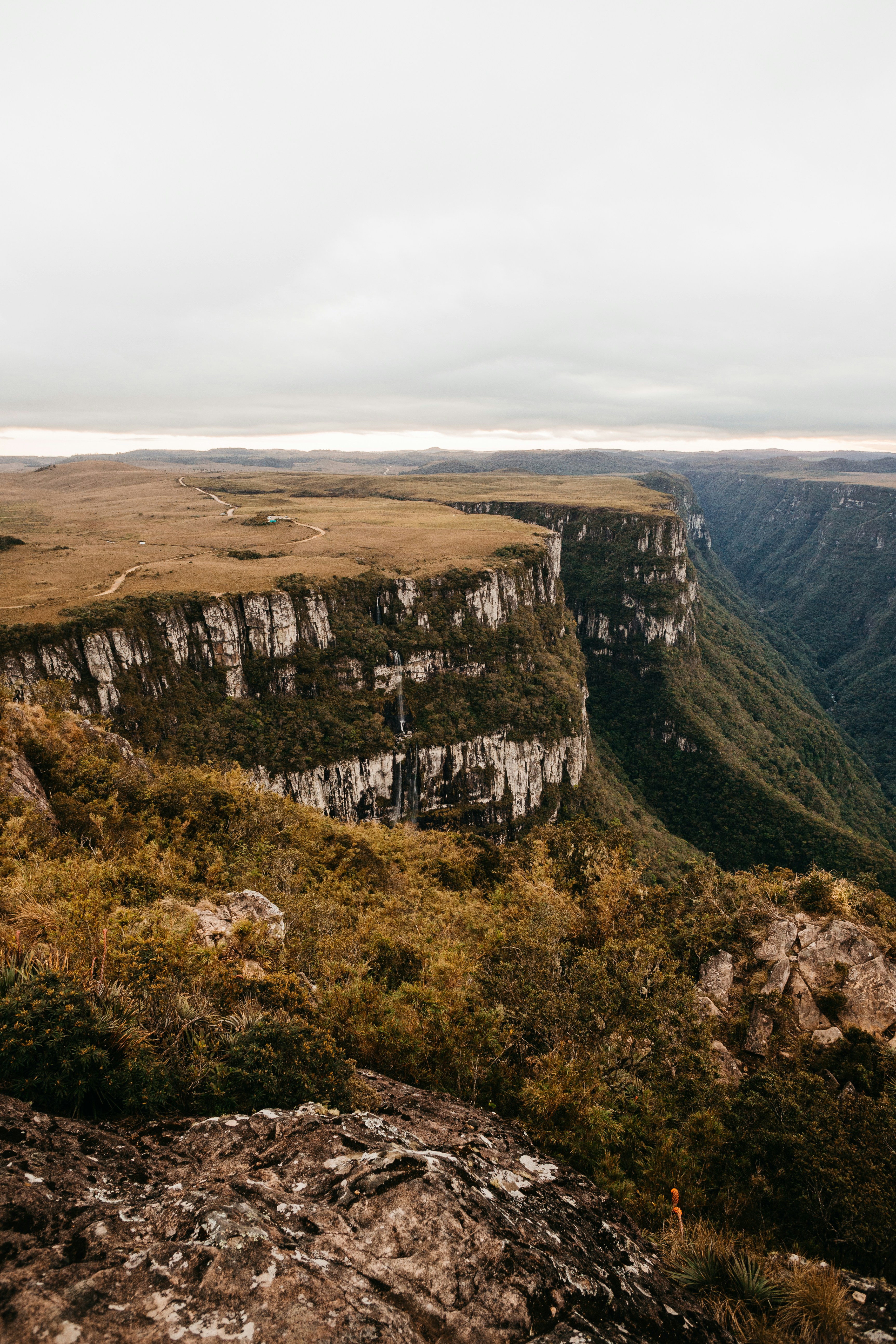
Manning Camp
Campground: Manning Camp. Operated by National Park Service.
5.1 km awayAZ
Douglas Spring
Campground: Douglas Spring. Operated by National Park Service.
 5.2 km away
AZ
Juniper Basin
Campground: Juniper Basin. Operated by National Park Service.
 6.1 km away
AZ
Spud Rock Campground
Campground: Spud Rock Campground. Operated by National Park Service.
 Britz HiTopCampervan
 Maui UltimaCampervan
 Jucy CoasterCampervan
Hitting the road? Rent the rig, not just the gear.
Compare live prices across Britz, Maui, Apollo, Jucy & more — campervans and motorhomes, one-way hires included.
Compare & bookPlan your visit
Save it, check the weather, map your route
Nearby Fuel
Campsite Explorer
Find Your Next Campsite
Share Your Experience
Help fellow campers by sharing your photos and reviews.
Own This Campsite?
Claim your listing to manage information, respond to reviews, and update details.
Grass Shack