Mount Prindle Campground


Mount Prindle Campground
About this campsite
Overview
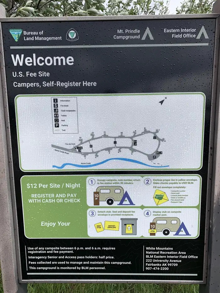
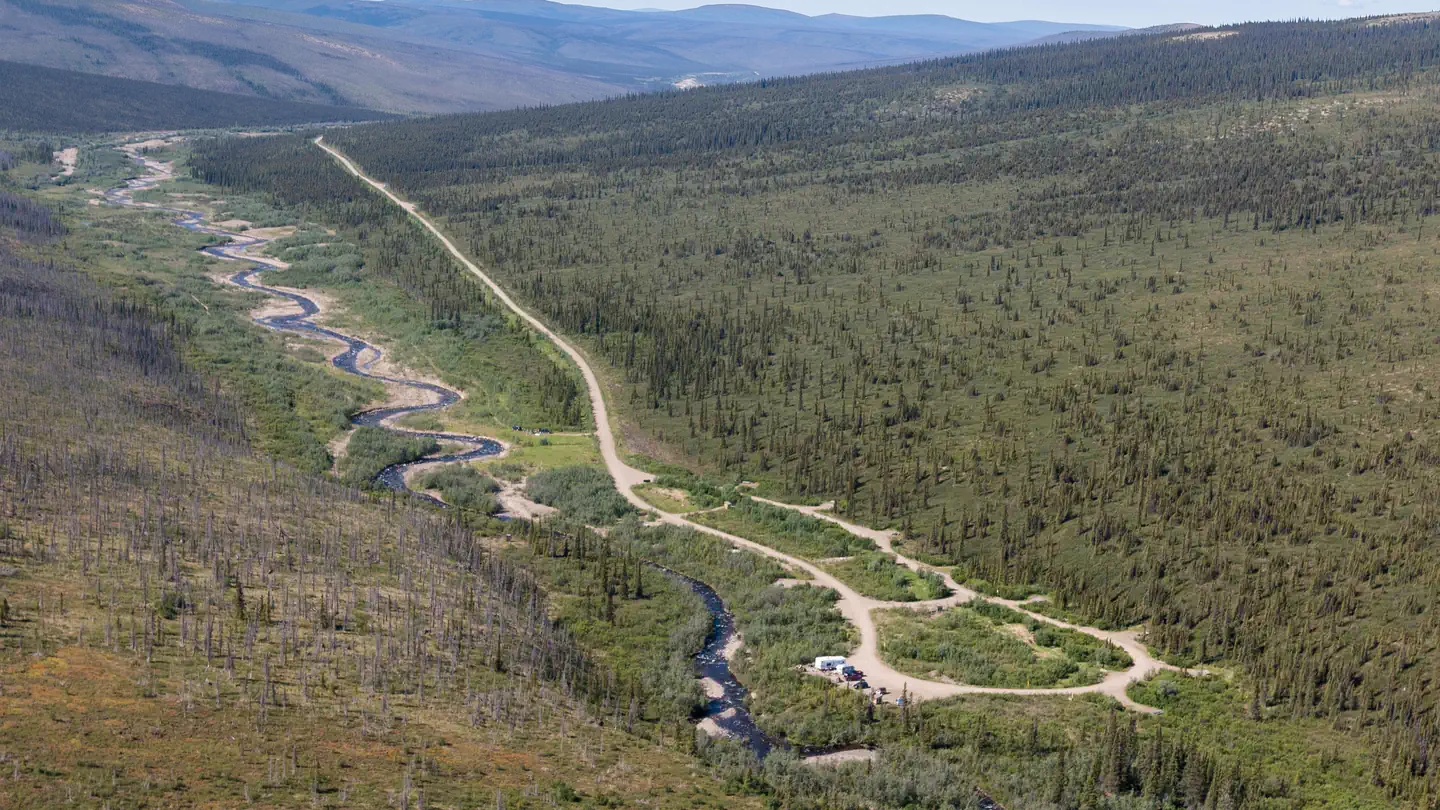
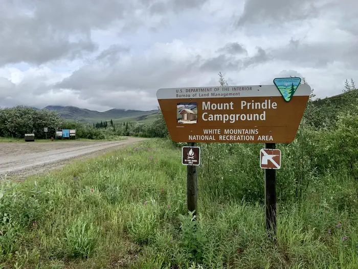
Mount Prindle Campground- The Mount Prindle Campground is one of two campgrounds located at either end of the Nome Creek Valley, on the southern edge of the White Mountains NRA. The campground’s 13 sites are situated among tall willow shrubs, below expansive alpine tundra meadows and Mount Prindle (5,286 feet), making it the ideal spot to begin a trip into the high country. From here you can enjoy gold panning in Nome Creek or explore the nearby Quartz Creek Trail.
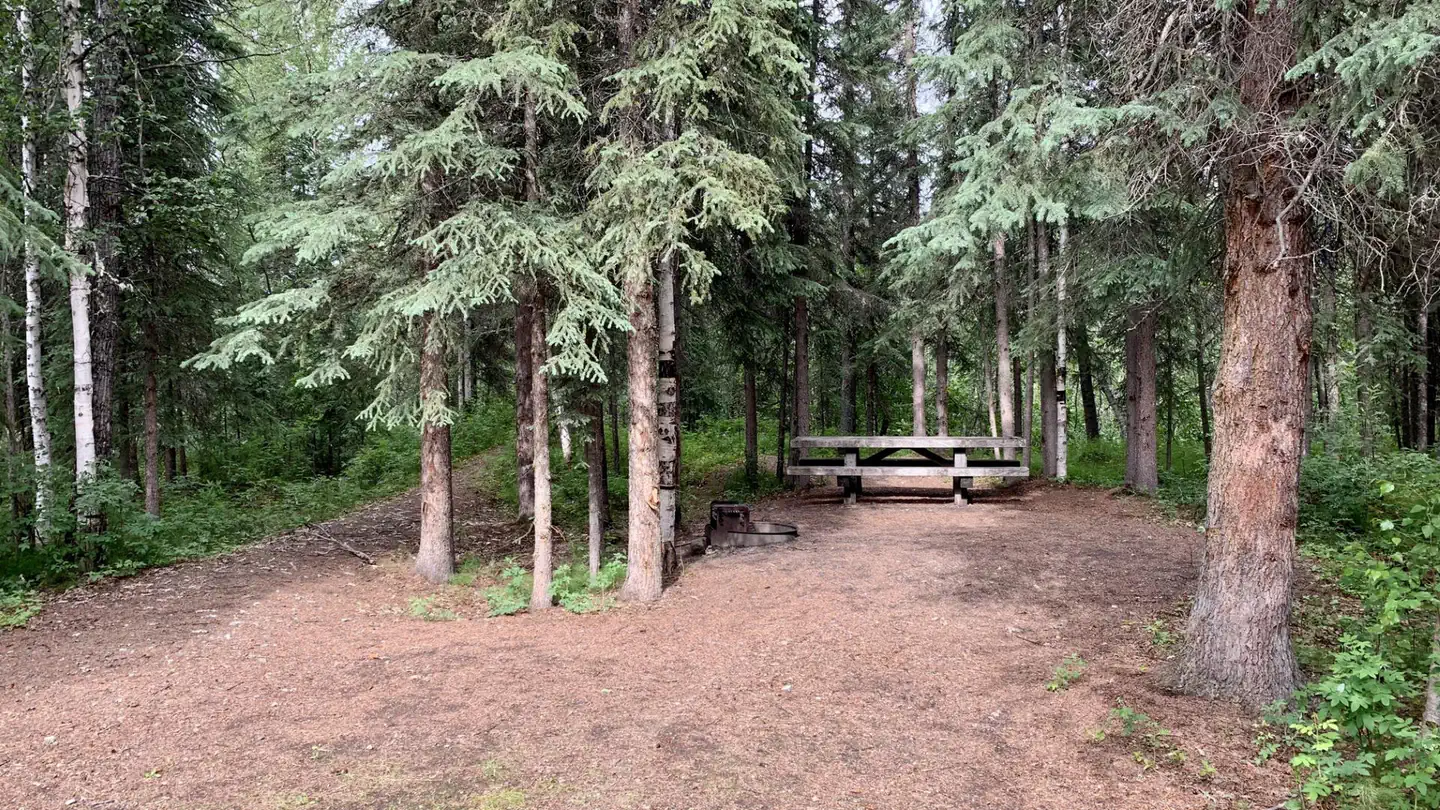
Campgrounds are maintained during the summer season (June thru mid-September) and have hand pump non-potable water, trash cans, and outhouse-style toilets. Each campsite has a parking area, picnic tables, and fire rings. Firewood is not provided. The nearest RV dump station is in Fairbanks.
Fees- $12 per night per site (sites 1-13) on a first come basis.
Directions-To reach Nome Creek from Fairbanks, take the Steese Highway to mile 57 and follow the U.S. Creek Road for seven miles to the Nome Creek Road. Taking a right at the junction, it is 4 miles to the upper end of Nome Creek Valley, the Quartz Creek Trailhead, and the Mount Prindle Campground.
Recreation
The campground’s 13 sites are situated among tall willow shrubs, below expansive alpine tundra meadows and Mount Prindle (5,286 feet), making it the ideal spot to begin a trip into the high country. From here you can enjoy gold panning in Nome Creek or explore the nearby Quartz Creek Trail.
Nearby Attractions
Quartz Creek Trail, Table Top Trail, Nome Creek for fishing, floating, and or goldpanning, put-in for Beaver Creek Wild and Scenic River.
Location
Mount Prindle Campground•AK
Weather Forecast
via Open-MeteoNearby Campsites
 10.4 km away
AK
Cripple Creek Campground
Overview Cripple Creek Campground- Located at milepost 60 o f the Steese Highway, Cripple Creek Campground has 12 first come first served universal design campsites, as well as 6 walk-in campsites. The campground also has a riverside day use area with fishing access along the Chatanika River. Winding through tall white spruce trees along the river between the day use area and the campground is a short interpretive trail for visitors. A class I-II float trip to the Upper Chatanika State Recreation Site at milepost 39 is approximately 25 miles (40 km) long. Occasional low water and log jams may require some boat dragging or portaging. The campground is maintained during the summer season, June through mid-September. The campground has a hand pump well for non-potable water, trash cans, and outhouse style toilets. Each campsite has a parking area, picnic tables, and fire rings. Fees- $12 per night per site (sites 1-12) on a first come basis. $6 per night per walk in site (Walk-in-sites T1-T-6) on a first come basis. Directions- Blacktop highway accessible. Campground is at mile 60 on the Steese Highway, northeast of Fairbanks, Alaska. Recreation Hiking the short interprative trail along the Chatanika River, fishing, floating, day trip into the Nome Creek Valley. Nearby Attractions Nome Creek Valley, Quartz Creek Trail, Table Top Trail, Pinnell Mt. Trail, Chatanika River, Nome Creek, Beaver Creek Wild and Scenic River Put-in.
 10.4 km away
AK
Cripple Creek Campground
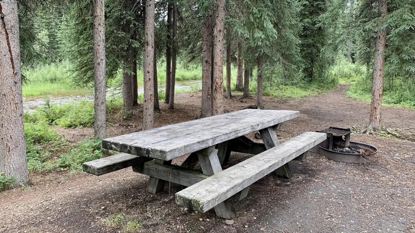
Located at milepost 60 of the Steese Highway, Cripple Creek Campground has 12 first come first served universal design campsites, as well as 6 walk-in campsites. The campground also has a riverside day use area with fishing access along the Chatanika River. Winding through tall white spruce trees along the river between the day use area and the campground is a short interpretive trail for visitors. A class I-II float trip to the Upper Chatanika State Recreation Site at milepost 39 is approximately 25 miles (40 km) long. Occasional low water may require some boat dragging. The campground is maintained during the summer season, end of May through mid-September. The campground has a hand pump well for potable water, trash cans, and outhouse style toilets. Each campsite has a parking area, picnic tables, and fire rings. Use the Recreation.gov App to pay for camping Download the Recreation.gov Mobile App before you leave home to make mobile payments for campsites using Scan&Pay. When you are at the campground, claim your campsite and use the camera on your phone to scan the unique campground QR code to pay for the campsite. No Need to Wait or Carry Cash Payment is conveniently made right on your phone, without the hassle of waiting in line, carrying cash, or writing a check and dropping it in a fee tube. No Signal, No Problem Even in remote areas with no cell service, Scan & Pay allows you to pay when you’re offline and then processes your transaction once you’re back online. Learn more about the Recreation.gov mobile app: https://www.recreation.gov/mobile-app
 22.7 km away
AK
Ophir Creek Campground
Overview Ophir Creek Campground- The Ophir Creek Campground is one of two campgrounds located at either end of the Nome Creek Valley, on the southern edge of the White Mountains National Recreation Area. Nestled in tall white spruce trees on the bank of Nome Creek, the campground includes 20 campsites, including one group site. From here you can enjoy fishing in Nome Creek or take a short day-hike over to Beaver Creek. Also nearby is the 3-mile loop trail to Table Top Mountain, with awesome views of the higher peaks in the White Mountains. Ophir Creek Campground also provides river access to Nome Creek for paddlers headed to Beaver Creek Wild and Scenic River. The campground is maintained during the summer season (June through mid-September) and have hand pump non-potable wells, trash cans, and outhouse-style toilets. Each campsite has a parking area, picnic tables, and fire rings. Firewood is not provided. The nearest RV dump station is in Fairbanks. Accessibility Description (ABA/ADA) Yes. An accessible toilet and hand water pump are available. Fees- $12 per night per site (sites 1-19) on a first come basis. $24 for group site 20 per night on a first come basis. Directions- To reach Nome Creek from Fairbanks, take the Steese Highway to mile 57 and follow the U.S. Creek Road for seven miles to the Nome Creek Road. Taking a left at the junction, it is 12 miles to the Ophir Creek Campground and the put-in for floating Beaver Creek Wild and Scenic River. Recreation Fishing, gold panning, hiking, floating, wildlife watching. Nearby Attractions Put-in for Beaver Creek Wild and Scenic River, Table Top Trail (3 mile loop non-motorized trail).
 22.7 km away
AK
Ophir Creek Campground
The Ophir Creek Campground is one of two campgrounds located at either end of the Nome Creek Valley, on the southern edge of the White Mountains National Recreation Area. Nestled in tall white spruce trees on the bank of Nome Creek, the campground includes 20 campsites, including one group site. From here you can enjoy fishing in Nome Creek or take a short day-hike over to Beaver Creek. Also nearby is the 3-mile loop trail to Table Top Mountain, with awesome views of the higher peaks in the White Mountains. Ophir Creek Campground also provides river access to Nome Creek for paddlers headed to Beaver Creek Wild and Scenic River. The campground is maintained during the summer season (Memorial Day thru mid-September) and have hand pump wells, trash cans, and outhouse-style toilets. Each campsite has a parking area, picnic tables, and fire rings. Firewood is not provided. The nearest RV dump station is in Fairbanks. NOTICE: Nome Creek Road repair with midweek closures May – October 2025 Monday – Friday the Nome Creek Road to Ophir Creek Campground will be closed to the public for road improvements and culvert replacement. When planning your visit go to the trail updates webpage for access information, current events and notices about temporary closures or restrictions.
 30.8 km away
AK
White Mountains National Recreation Area - Alaska Cabins
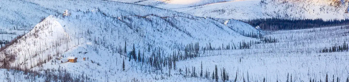
Overview Located just an hour's drive from Fairbanks, Alaska, the one-million-acre White Mountains National Recreation Area offers stunning scenery, peaceful solitude and outstanding opportunities for year-round recreation including hiking, snowmobiling, snowshoeing, skiing, wildlife and scenic viewing. There are 13 beautiful log cabins throughout the White Mountains offering many opportunities to enjoy the outdoors. Be sure to carry your cabin permit at all times while in the White Mountains National Recreation Area. Also located in the White Mountains National Recreation Area are two trail shelters that are available on a first-come, first-served basis only. Recreation Winter visitors travel by ski, snowshoe, dog team, fat bike and snowmobile to enjoy the 12 public-use cabins and 250 miles of maintained trails that make the White Mountains one of Interior Alaska's premier winter destinations. The cabins must be reserved up to 30 days in advance. There are two trail shelters that are on a first come-first served basis, are free of charge and not reservable. In Summer, visitors to the White Mountains pan for gold, fish, hike and camp under Alaska's midnight sun. The Nome Creek Road provides access to two campgrounds, trails, a gold-panning area and a departure point for float trips on Beaver Creek Wild and Scenic River. Learn more about current trail conditions or call the Fairbanks District Office at (907) 474-2200. For a winter trails condition report, go to the Trail Update Facilities The White Mountains National Recreation Area offers 250 miles of maintained winter trails and 13 public recreation cabins and two trail shelters surrounded by jagged limestone mountains and cliffs, high mountain passes, and broad, rounded valleys. Whether you choose to explore by ski, snowshoe, snowmobile, or dog team, you'll find crisp, clean air, dazzling views, and if you're lucky, shimmering northern lights against a star-studded sky. Many of the trails used for winter travel may be difficult to travel during the summer due to wet, muddy conditions or difficult water crossings. To protect sensitive resources, vehicles must remain on BLM routes designated for their use unless traveling in an area designated open to cross-country motorized travel. The entire area is open to all forms of non-motorized use, so feel free to explore off-trail. The most popular places to ride OHVs are in the Nome Creek tailings and the Quartz Creek Trail. Most of the cabins become difficult to reach in the summer, but a few are regularly used such as Fred Blixt Cabin and Lee’s Cabin . Three campgrounds are open from late-May until the snow flies in October Note : Not all trails are accessible to ATV's in the summer. Please contact the BLM Fairbanks District Office for further information at (907)474-2200 Note: Not all trails are suitable for hiking in the summer. They may be wet and boggy. Check with the Fairbanks District Office for more information. Note: All lands to the north of the Nome Creek Rd. from the Bear Creek Trail, west to Ophir Creek Campground and the Beaver Creek Put-In are closed to the use of motorized vehicles in the summer from May 1 - October 14 or until there is adequate snow cover for use by snowmobiles. Nome Creek Valley Map Winter Trails Map <a href="https://www.blm.gov/alaska/public-room/fact-sheet/summer-ohv-fact-sheet
 Britz HiTopCampervan
 Maui UltimaCampervan
 Jucy CoasterCampervan
Hitting the road? Rent the rig, not just the gear.
Compare live prices across Britz, Maui, Apollo, Jucy & more — campervans and motorhomes, one-way hires included.
Compare & bookPlan your visit
Save it, check the weather, map your route
Nearby Fuel
Campsite Explorer
Find Your Next Campsite
Share Your Experience
Help fellow campers by sharing your photos and reviews.
Own This Campsite?
Claim your listing to manage information, respond to reviews, and update details.
Mount Prindle Campground