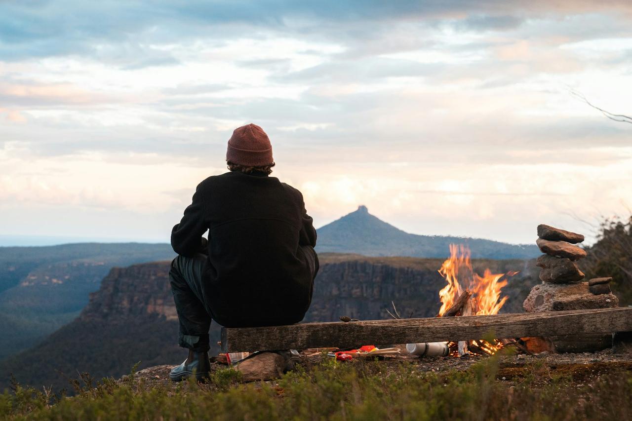
Lookout Park
Lookout Park
About this campsite
Location
Lookout Park•NM
Weather Forecast
via Open-MeteoNearby Campsites
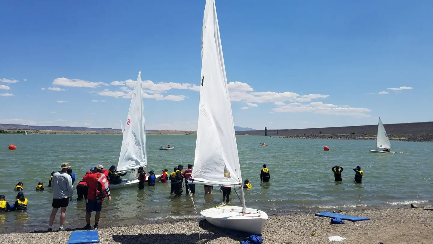 12.1 km away
NM
Cochiti Campground
Overview Cochiti Recreation Area is located in Sandoval County, New Mexico, within the boundaries of the Pueblo de Cochiti Indian Reservation. The lake offers two public recreation areas: Cochiti on the west side of the lake and Tetilla Peak on the east side. Both sides offer spectacular scenic views of the water and surrounding mountains. The Cochiti Dam is one of the ten largest earth-fill dams in the United States, and also one of the largest in the world. The lake derives its name from the Indian Pueblo on the Cochiti Reservation. Recreation Our quiet lake is an ideal location for all paddle, wind surfing, and sailing craft. The lake is also a popular fishing spot for species such as bass, crappie, walleye, pike, catfish, sunfish and trout. Cochiti Recreation Area has a popular, family friendly, swim beach Day Use area for public enjoyment. It is a fee area, $5 per vehicle, but the cost is covered by the campsite fee for visitors staying in the campground. Additionally, the Cochiti picnic area has 21 covered picnic sites with a large group site that can be reserved by calling the main office. Cochiti Day Use Areas are open from April 15th to October 15th. Facilities The campground consists of four loops. Juniper Loop campsites have electric hookups and some have water. Elk Run and Ringtail Loops are non-electric and have community water spigots. All sites in Buffalo Grove Loop have water and electric hookups. The Cochiti boat ramp is open year-round and is accessible by a paved road. The ramp has four concrete lanes for loading and unloading. Natural Features Cochiti Lake sits at 5,343ft in elevation and is nestled in the foothills of the Jemez Mountains. Our high desert environment is dominated by juniper, pinon trees, and mixed grasslands. There are many opportunities for wildlife viewing. Four osprey nesting platforms have been erected around the lake to provide nesting sites, as well as viewing opportunities. On the east side of the lake, deer, coyote, river otters, rabbits, beavers, and the occasional bear are often sighted. Nearby Attractions Cochiti Lake is five miles from Tent Rocks National Monument, which has fascinating geological formations.
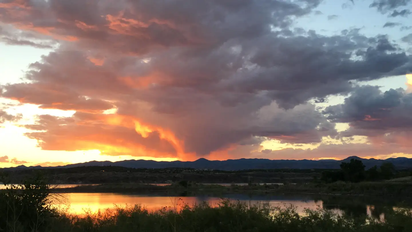 13.7 km away
NM
TETILLA PEAK
Overview Tetilla Peak Recreation Area is located in Sandoval County, New Mexico, within the boundaries of the Pueblo de Cochiti Indian Reservation. The lake offers two public recreation areas: Cochiti on the west side of the lake and Tetilla Peak on the east side. Both sides offer spectacular scenic views of the water and surrounding mountains. The Cochiti Dam is one of the ten largest earth-fill dams in the United States, and also one of the largest in the world. The lake derives its name from the Indian Pueblo on the Cochiti Reservation. Recreation Our quiet no-wake lake is an ideal for all paddle and wind craft. The lake is also a popular fishing spot for species such as bass, crappie, walleye, catfish, sunfish, and pike. Santa Cruz Day Use area is open daily and provides visitors with acces to the lake as well as several shade structures, bathrooms, and a fishing dock. Facilities The campground consists of two loops. Cholla Loop includes 36 individual campsites, each with an electric hookup, table and grill. All electric campsites have shelters, and water spigots are located throughout the campground. This loop also provides a dump station and large restroom and shower building . A partially paved road winds through Coyote Loop, which has 10 sites, each with a table and grill. There are no electric hookups, and water spigots are scattered throughout the loop. The restroom and shower building is centrally located for easy access. The Tetilla boat ramp area offers a parking area and courtesy dock. Natural Features Cochiti Lake sits at 5,343ft in elevation and is nestled in the foothills of the Jemez Mountains. Our high desert environment is dominated by juniper, piñon trees, and mixed grasslands. There are many opportunities for wildlife viewing. Four osprey nesting platforms have been erected around the lake to provide nesting sites, as well as viewing opportunities. On the east side of the lake, deer, coyote, river otters, rabbits, beavers, and bear are often sighted. Nearby Attractions Cochiti Lake is 23 miles from Tent Rocks National Monument, which has fascinating geological formations.
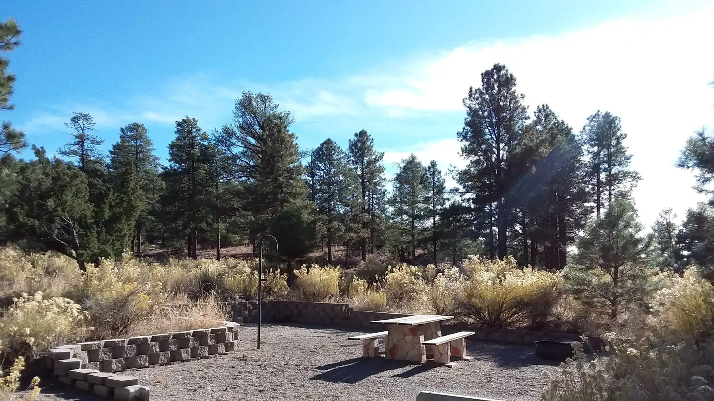 16.0 km away
NM
PALIZA
Overview Paliza Campground sits beneath sandstone cliffs on the Jemez Ranger District of the Santa Fe National Forest. The area is replete with culture, offering visitors a glimpse into the past. Ample recreation opportunities exist at or near the campground, which makes it a wonderful outdoor destination. Recreation Hiking, wildlife viewing and scenic drives are some of the popular activities enjoyed near the campground. Striking views of an ancient volcanic crater amid the rolling hills, can be seen from the Cerro Pelado Scenic Overlook, about 11 miles from the campground. Off-road vehicle trails and numerous hiking and mountain biking trails surround the campground. Facilities There is no water. The campground offers a variety of sites available for tent and RV camping. Picnic tables, lantern posts and campfire rings with grills are provided, as are accessible vault toilets. Roads within the campground are paved. Natural Features The newly refurbished campground sits in a forested area at the top of a hill with views of the Jemez Valley below. It was originally the site of a 1930s Civilian Convservation Corps base camp. Remnants of that camp, including log lean-to's and adirondack shelters with rock fireplaces, can be found within the campground. A small stream runs alongside the campground and sandstone cliffs on the nearby mesas provide excellent photographic and sightseeing opportunities. A small tract of private land is located north of the campground and common courtesy is appreciated. Nearby Attractions The campground is located five miles northeast of the town of Ponderosa, New Mexico, an area known for its vineyards and winery with a tasting room. The Jemez Pueblo and the Walatowa Visitor Center, both of which provide rewarding cultural experiences, are just 11 miles from the campground in the town of Jemez. The quaint community offers shopping and dining opportunities, as well as a variety of recreational opportunities.
 16.6 km away
NM
Paliza Group Campground
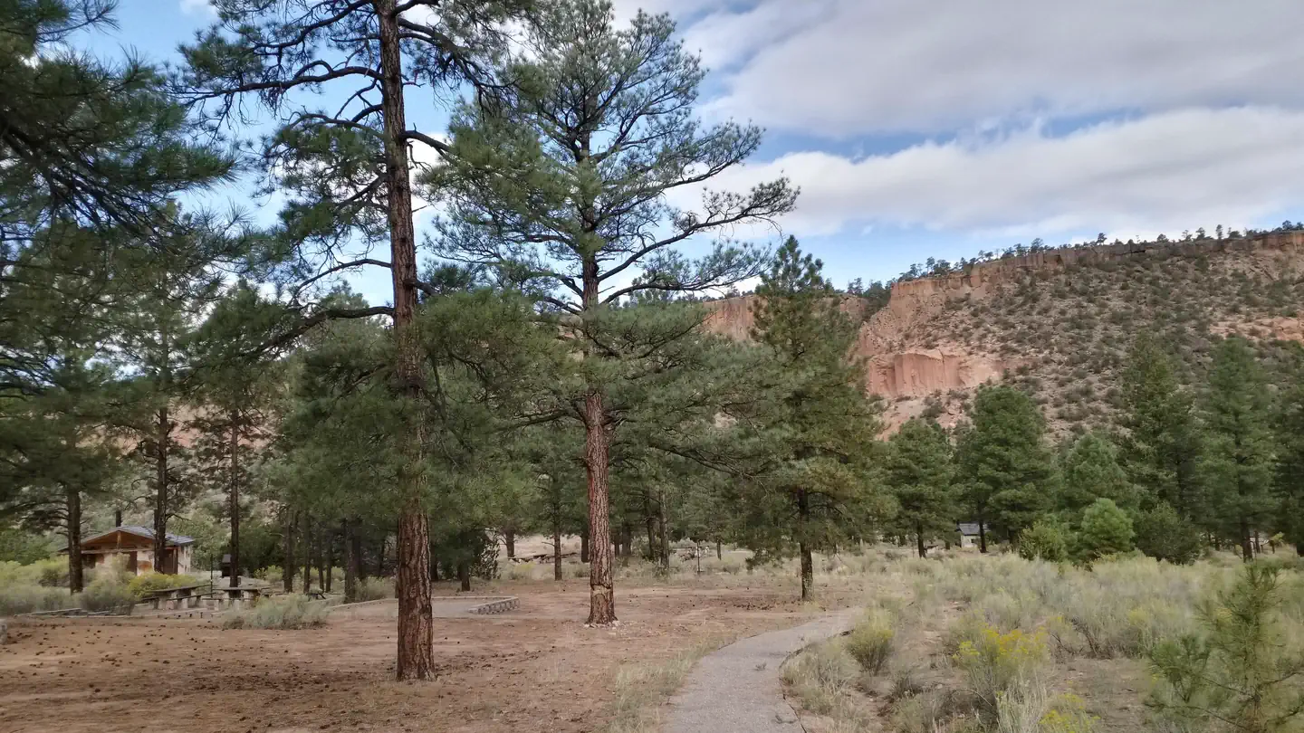
Overview Paliza Group Campground is found north of the small community of Ponderosa, surrounded by ponderosa pines and views of the stunning cliff faces of majestic mesas. There are two group areas within the campground, with walk in and drive in sites found separately in each loop. The group campground generally opens in mid-May and closes in October. It’s location is ideal for enjoying quiet, star filled nights as it is far away from major cities. The Jemez National Recreation Area is a short drive away and providesmany opportunities to enjoy the Santa Fe National Forest. Recreation Paliza Group Campground is not far from NM Highway 4 and the popular Jemez National Recreation Area. Scenic day hikes, hot springs, and historical landmarks can be found nearby. Fishing is popular on the nearby San Antonio Creek with plenty of fishing sites available. Facilities The Owl Loop sites have paved driveways along with standard campsite amenities like a fire ring grill, picnic table, lantern post, and gravel tent pads. There is a large outdoor picnic area for the Owl Loop and comes with pedestal grills, a ramada, picnic tables, and plenty of room for large gatherings. The Red Tail Loop sites are walk-in sites, but the parking is close by with additional parking for RVs and trailers available. Red Tail Loop sites have a picnic table, fire ring grill, lantern posts, and gravel tent pads provided, with a gravel walkway connecting all the sites. There are recently renovated vaulted toilets found in both loops. Natural Features The short driveway from Forest Road 10 to the group campground is scenic, with riparian trees changing to towering ponderosa pines as the road climbs in elevation. Spectacular views of the surrounding mesas and clear blue skies are hallmarks of this campground. The dark greens of the conifers stand out against the bright yellows of flowering chamisa in the summer, and the yellows and reds of fall foliage provide a variety of scenery through the seasons. Nearby Attractions The East Fork of the Jemez National Wildand Scenic River can be accessed nearby. The Valles Caldera National Preserve is conveniently located north of Forest Road 10 on NM 4. An impressive geological formation known as Battleship Rock is worth stopping to look on NM 4, north of the town of Jemez Springs. The town itself has art created by locals, hot springs, and a restaurant for those not wanting to cook.
 19.9 km away
NM
Ponderosa Group Campground (NM)
Overview Ponderosa Group Campground is located 6 miles (9.7 km) from the park's main entrance and is an ideal place to stay for large groups visiting Bandelier National Monument. The campground is adjacent to Ponderosa Trailhead providing access to more than 70 miles (113 km) of hiking trails and is just a short drive from the Visitor Center, the Frijoles Canyon Shuttle System (mid-May to mid-October), and the town of Los Alamos, Valles Caldera National Preserve, Manhattan Project National Historic Site, and the Santa Fe National Forest. Ponderosa Group Campground is open year-round (water is only available from mid-May to mid-October, subject to delays and/or early shut off). Same-day reservations are not permitted. Frijoles Canyon and the park Visitor Center are accessible only by shuttle bus from mid-May to mid-October. The shuttle bus system stops at the Bandelier Visitor Center, Juniper Campground, and the White Rock Visitor Center in the town of White Rock. Outside of the designated shuttle bus period, visitors may access all park areas by private vehicle. Public events are prohibited at Ponderosa Campground. Private events that adhere to campsite capacity limits, may be permitted after obtaining a special use permit. Visit the park's Permits & Reservations web page or call (505) 672-3861 ext. 1102. Recreation Accessible from Ponderosa Group Campground, the Ponderosa Trail descends into the park through ponderosa pine forest and connects to many other trails including the Middle Frijoles Trails which leads 8 miles (13 km) through Frijoles Canyon to the Visitor Center and Main Loop Trail. The Visitor Center houses museum exhibits, park film, information and ranger programs, Western National Parks Association sales outlet, and more. Entrance to Frijoles Canyon and the Visitor Center is by shuttle bus only from mid-May to mid-October. These areas are accesibile by private vehicle outside the shuttle bus period. Although rock climbing is prohibited within Bandelier National Monument, many popular climbs are within a short drive up Route 4 into the Jemez Mountains. Facilities This campground is located at 7600 feet (2316 m) and is usually free of snow from mid-April through mid October. Water is not available during any months with freezing temperatures (potentially mid-October to mid-May). Vault toilets (with no running water), drinking water, a picnic shelter, picnic tables, food storage lockers, and campfire rings are provided at this facility. No hookup campsites are available. These sites are tent-only, but one RV per site can be accommodated in the parking area. Each site can accommodate between 10 and 50 people. Check-in time for the campground is 4:00 pm. Check-out time for the campround is 11:30 a.m. Group Picnics : Sites can be reserved for large group picnics, however the fee and process is the same as reserving the site for an overnight stay. Natural Features Bandelier National Monument protects over 33,000 acres (13,355 ha) of rugged, beautiful canyon and mesa country which features evidence of human presence going back over 11,000 years. Petroglyphs, dwellings carved into the soft rock cliffs, and standing masonry walls pay tribute to the early days of a culture that still survives in the surrounding communities. Bandelier
 Britz HiTopCampervan
 Maui UltimaCampervan
 Jucy CoasterCampervan
Hitting the road? Rent the rig, not just the gear.
Compare live prices across Britz, Maui, Apollo, Jucy & more — campervans and motorhomes, one-way hires included.
Compare & bookPlan your visit
Save it, check the weather, map your route
Nearby Fuel
Campsite Explorer
Find Your Next Campsite
Share Your Experience
Help fellow campers by sharing your photos and reviews.
Own This Campsite?
Claim your listing to manage information, respond to reviews, and update details.
Lookout Park